Blog Article
Midwest Severe Weather Outbreak and Southern Storm Shift
A powerful storm system brings an Enhanced Risk of tornadoes to the Midwest today before shifting severe weather and flood threats to the South on Tuesday.
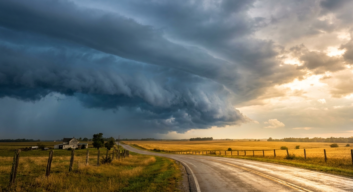
The Midwest Bullseye and a Southern Shift
Alright y'all, we had a long night across the Southern Plains. If you live in North Texas or Oklahoma, you know exactly what I am talking about. We saw hail the size of baseballs and up to 5 inches of rain flooding out parts of the Dallas-Fort Worth metroplex.
That same storm system is packing up and moving east today. As we talked about yesterday, the Midwest is the main target for Monday.
Today's Midwest Threat
The Storm Prediction Center has an Enhanced Risk posted from St. Louis up through Peoria and over to Evansville. That is a level 3 out of 5 for severe weather.
Here is the setup. We have an anomalously deep spring low pressure system dragging a massive amount of Gulf moisture northward. Normally, Chicago is sitting around a cool 59 degrees this time of year. Today, this system is pulling air with precipitable water values over 1.5 inches all the way up to Lake Michigan. That is a lot of fuel for thunderstorms.
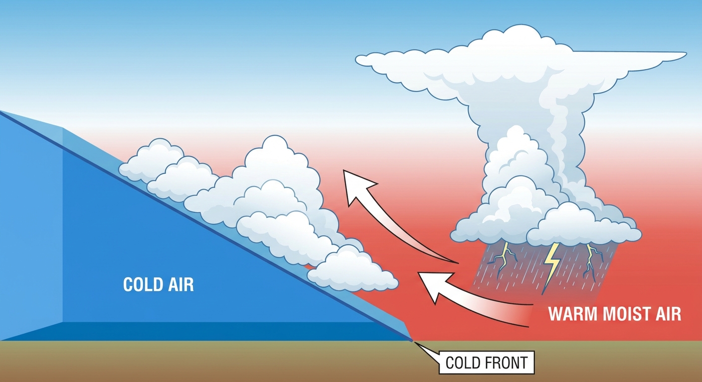
The main concern today is a 45 percent probability of damaging wind gusts. We are also watching a 10 percent hatched risk for tornadoes across the Mid-Mississippi Valley. That hatched area means the environment supports a few strong tornadoes.
If you are commuting home along I-55 or I-70 this afternoon, you need to pay attention to the sky. These storms will fire up ahead of the main cold front. If you have tickets to see the Angels play the White Sox up in Chicago tonight, bring a poncho and expect some delays at Guaranteed Rate Field.
Tomorrow Shifts South
Get this. The severe threat does not stop after tonight. On Tuesday, the focus shifts back down south.
The SPC has a Slight Risk covering a huge corridor from Dallas through Memphis and up into Nashville. The environment over the southern U.S. is going to be incredibly unstable by Tuesday afternoon.
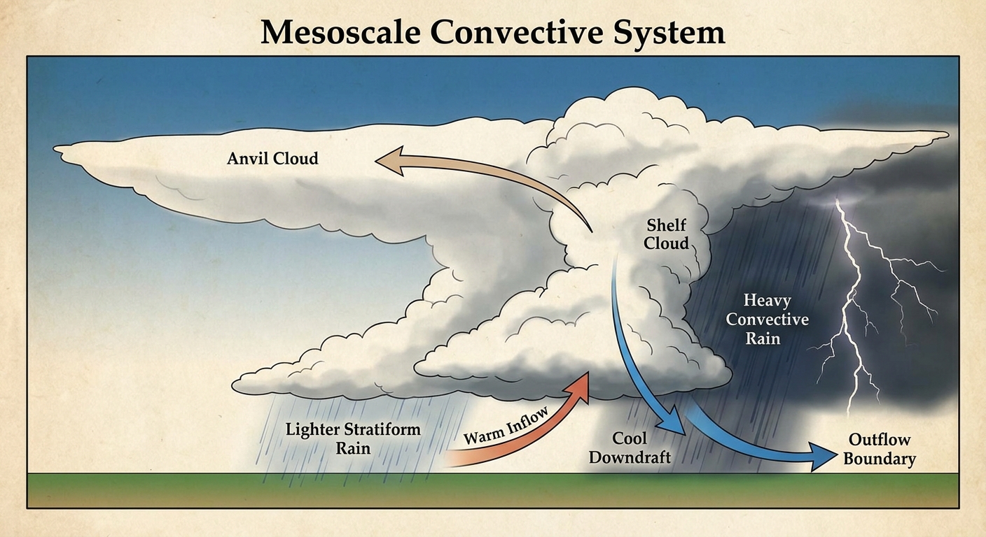
We expect to see scattered supercells merge into a long-lived organized cluster of storms. Meteorologists call this a Mesoscale Convective System. The main threat with this line will be widespread damaging wind gusts and heavy rain. The Weather Prediction Center is already highlighting a Slight Risk for excessive rainfall from the Arklatex into the Mid-South, with rain rates potentially hitting 2 inches per hour.
Critical Fire Weather Out West
While the eastern half of the country deals with severe storms and flooding, the Southern High Plains are bone dry.
We have a Critical Fire Weather area over eastern New Mexico and West Texas today and tomorrow. Dewpoints have crashed into the 15 to 25 degree range. When you combine that dry air with 25 mph sustained winds coming off the terrain, any spark will spread rapidly. Places like Clovis, Carlsbad, and Hobbs need to be on high alert.
Bottom Line
- Midwest: Have multiple ways to get warnings today. The tornado and wind threat peaks this afternoon and evening.
- South: Prepare for an intense line of storms Tuesday afternoon. Secure your trash cans and patio furniture now.
- Southwest: Absolutely no outdoor burning.
Have your weather radio turned on and keep your phones charged.
https://ryanhallyall.com/blog/the-midwest-bullseye-and-a-southern-shift