Blog Article
Midwest Severe Weather: Enhanced Tornado Risk for IL & MO
An Enhanced Risk of severe thunderstorms targets the Midwest on Tuesday with strong tornadoes and large hail. Plus, heavy snow hits the Pacific Northwest.

The Midwest Is In The Bullseye For Tuesday's Severe Storms
Alright folks, welcome back. As we talked about yesterday, losing that hour of sleep over the weekend was rough. But we really need to be wide awake and paying attention to what is coming on Tuesday. The data is rolling in, and the Storm Prediction Center has upgraded parts of the Midwest to an Enhanced Risk for severe weather. That is a level 3 out of 5, y'all.
After the devastating storms we saw just a few days ago in Michigan and Oklahoma, I know nobody wants to hear this. But we have a highly volatile setup taking shape, and you need to be prepared.
Tuesday's Midwest Severe Threat
Here is the thing. We are looking at a complex, split-flow setup in the atmosphere. That is just a fancy meteorology term meaning we have two separate jet streams causing trouble at the same time. The northern piece of energy is going to swing through the Midwest on Tuesday, and it is bringing a nasty environment with it.
If you live in Northeast Missouri, Northern and Central Illinois, or Northwest Indiana, you are in the Enhanced Risk zone. This includes major cities like Chicago, Aurora, Joliet, and Springfield. Get this. The data shows a 10 percent probability for tornadoes and a 30 percent probability for large hail in this area. We are talking about the potential for strong tornadoes and hail up to 2.5 inches in diameter. That will absolutely wreck a windshield or a roof, so make sure you park in the garage if you can.
The Texas Dryline and Fire Danger
Down south, the other half of this system is kicking up dust. Literally. Before the storms even fire up, we have a Critical Fire Weather risk today across the Texas Panhandle right up into Eastern Wyoming and Western Nebraska. Winds are going to be howling at 15 to 25 mph with bone-dry humidity dropping to near 20 percent. If you are in Amarillo or Scottsbluff, please do not burn anything outdoors today. The smallest spark will run for miles.
Right next door to that dry air, a Slight Risk for severe storms sets up over Dallas, Fort Worth, and Oklahoma City by Tuesday afternoon as a dryline crashes into Gulf moisture. Expect supercells to develop here with all severe hazards possible.
If you are planning to head to the Houston Crawfish Day Fest or any of the big outdoor events in Texas this weekend, the good news is this severe threat should be long gone by then. But for the next 48 hours, things are going to be incredibly active.
Pacific Northwest Gets Slammed
While the middle of the country deals with severe thunderstorms, the Pacific Northwest is getting absolutely drenched. A powerful Atmospheric River is making landfall right now.
If you are commuting around Seattle or Tacoma today through Wednesday, you need to leave early and take it slow. Coastal Washington and Oregon are looking at 2.5 to 3.5 inches of rainfall, which is going to cause some localized flash flooding.
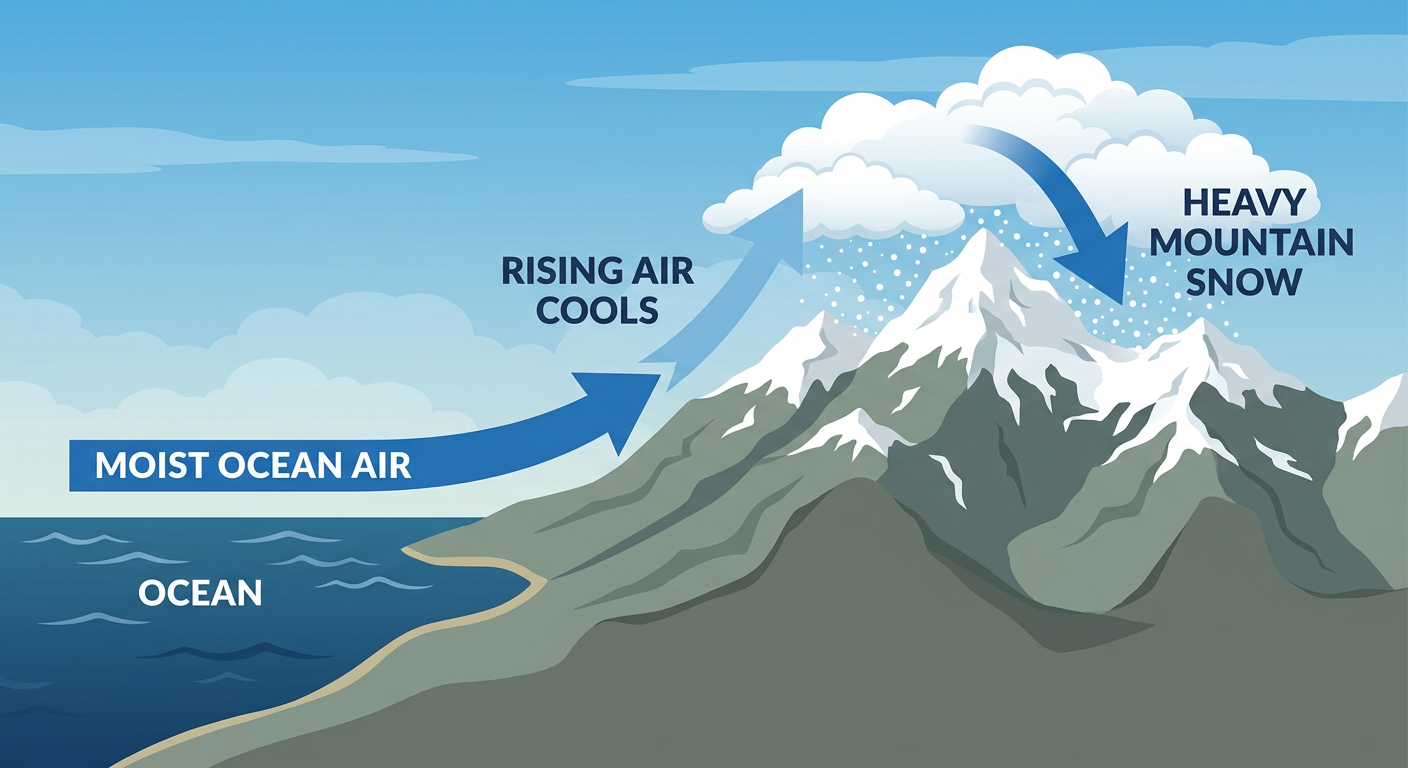
Up in the Cascades, it is a completely different story. Freezing levels are unusually low for March, dipping below 500 feet at times. Passes like Snoqualmie and White Pass are going to measure snow in feet. We are talking 8 to 14 inches at the pass levels, with over 2 feet at the highest peaks. It is a fantastic week for the ski resorts, but a nightmare for anyone trying to drive over the mountains.
What We Are Watching Closely
- Tornado Potential in Illinois: The combination of wind shear and instability on Tuesday is very concerning for the Chicago metro area down to Springfield.
- Flash Flooding: There is a Slight Risk of excessive rainfall pulling Gulf moisture up from Texas into the Great Lakes. Do not drive through flooded roads.
- High Plains Wind: Persistent downslope winds are creating dangerous fire conditions and blowing dust.
- Cascade Snow: Travel through the Washington and Oregon mountain passes will be treacherous through Wednesday.
The Bottom Line
If you are in the Midwest or Southern Plains, Tuesday is a day you must have multiple ways to receive warnings. Do not rely on outdoor sirens. Make sure your phone alerts are turned on, have a weather radio handy, and know exactly where your safe space is before the sky turns dark. For our friends in the Pacific Northwest, keep the rain gear handy and delay mountain travel if you can. Stay safe out there, y'all.
https://ryanhallyall.com/blog/the-midwest-is-in-the-bullseye-for-tuesdays-severe-storms