Blog Article
MLB All-Star Game Philly Weather: Storms Hit I-95 First
The MLB All-Star Game lands in Philadelphia July 14, but a stalled front is bringing storms and flash flood risk to the I-95 corridor first. Here's the forecast.
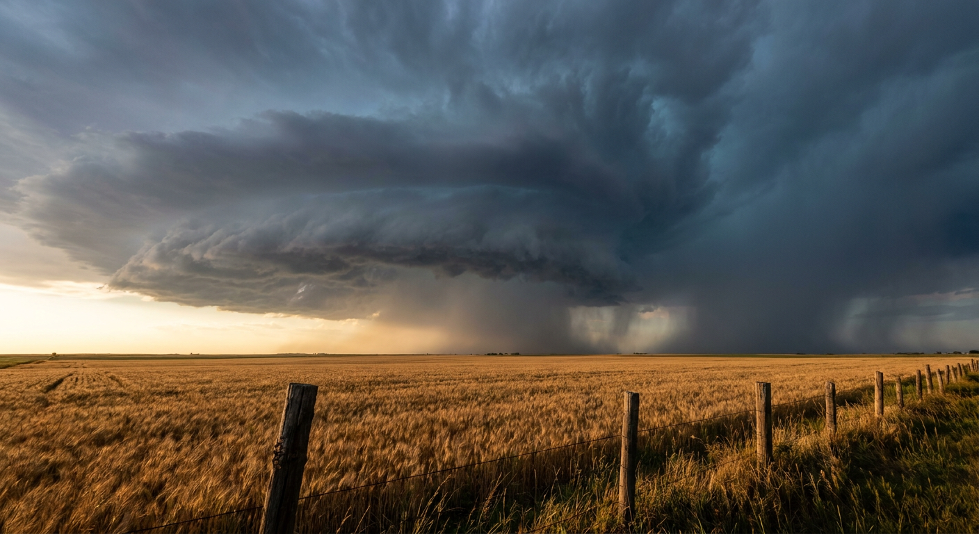
The MLB All-Star Game Is Coming to Philly, and the Weather Wants to Talk First
Alright, y'all. The whole baseball world is about to point itself at Philadelphia. The MLB All-Star Game rolls into town on July 14, and the buildup is already here. Home Run Derby, red carpet, the works. But before the first pitch, there's a weather story worth your attention, because the sky over the Mid-Atlantic has been picking fights all week long.
Here's the thing. That same slice of the country, the I-95 corridor from Washington up through Baltimore and Philly, spent this week getting hammered by water. Monday brought rapid urban flooding to Philadelphia. Tuesday morning, emergency crews in Virginia and Pennsylvania were pulling folks out of cars in swift-water rescues. Frankford Creek in Philly jumped about six feet in a hurry. This is not a one-off. It's a pattern.
What the Forecast Actually Says
Let me be straight with you about the timing, because that matters more than the hype.
The Storm Prediction Center has a Slight Risk (Level 2 of 5) of severe thunderstorms on Thursday, July 9, and Philadelphia and Washington DC are both named inside it. The main threat is damaging wind, with a 15% chance of severe gusts across that zone. That's the "scattered damaging wind" category, not a widespread blowout, but it's enough to knock down trees and cut power if a storm gets its act together.
At the same time, the Weather Prediction Center has a Slight Risk of excessive rainfall across the Mid-Atlantic for Thursday. Training storms, the kind that line up and pass over the same neighborhoods again and again, could drop 2 to 3 inches in the I-95 corridor. On ground that's already soggy from this week, that's how you get flash flooding on city streets.
Now, the All-Star Game itself is July 14, which is still outside the reliable severe-weather forecast window. I'm not going to tell you what the sky looks like at first pitch, because the data doesn't say that yet. What I can tell you is the pattern that's been parked over this region, and that pattern deserves respect.
Why This July Keeps Flooding
So why does the same stretch of highway keep ending up underwater?
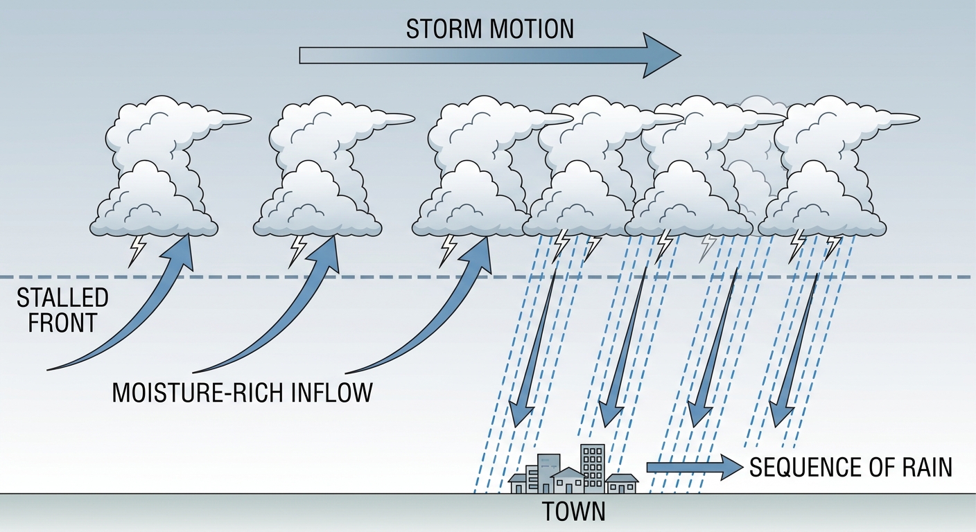
Blame a stalled front and a very juicy atmosphere. A slow-moving cold front is dragging southeast out of the Upper Midwest into the Ohio Valley, and it's moving about as fast as a Friday afternoon commute. When a boundary stalls like that, thunderstorms fire along it, ride the winds, and pass over the same spots one after another. Meteorologists call that "training," like train cars on a track.
Add in precipitable water values over 2 inches, which is a fancy way of saying the air is absolutely loaded with moisture, and you get rainfall rates that overwhelm storm drains in minutes. Cities are especially vulnerable. All that concrete and asphalt can't soak up water, so it runs straight into low spots and underpasses.
The Bigger Picture for the Northern Half
There's a second act to Thursday, out west. Off the Colorado Front Range, supercells can pop with a 15% hail threat, and inside that zone the hail could reach hen-egg size, 2 inches or larger. Those storms typically fire in the afternoon and then congeal into a nighttime complex that rumbles across Kansas and Nebraska. Denver sits at normal-ish for July, with an average high around 90, so this is classic High Plains summer behavior. Eastern Colorado has a long July hail history. The record hailstone in the country fell in Vivian, South Dakota, back on July 23, 2010, a reminder that the High Plains means business this time of year.
And if you're one of the folks heading to a ballpark tonight or Thursday, this touches a lot of you. The Phillies are in Cincinnati, the Nationals host Houston, the Cubs are in Baltimore, and the Braves are in Pittsburgh. Every one of those cities sits near the storm corridor for the next couple of days. Keep an eye on the radar before you leave, and know your ballpark's rain-delay routine.
The Takeaway
The All-Star Game will be the story in Philadelphia soon enough. But the sky has been writing its own headline all week, and the plot hasn't changed: a stubborn, moisture-heavy pattern that keeps dumping rain on the same cities. If you're in the DC-to-Philly stretch Thursday, treat the storms seriously. Don't drive through flooded roads, charge your phone, and give yourself extra time. The good news? Patterns like this do eventually break. Watch how the front finally clears out heading into next week, because that's what decides whether the Midsummer Classic gets clear skies.