Blog Article
Northern Plains Severe Storms Today, Mid-Atlantic Flood Risk Eases
A Slight Risk for severe storms hits the northern Plains and Upper Midwest today with large hail and damaging wind, while the flooded Mid-Atlantic catches a break.
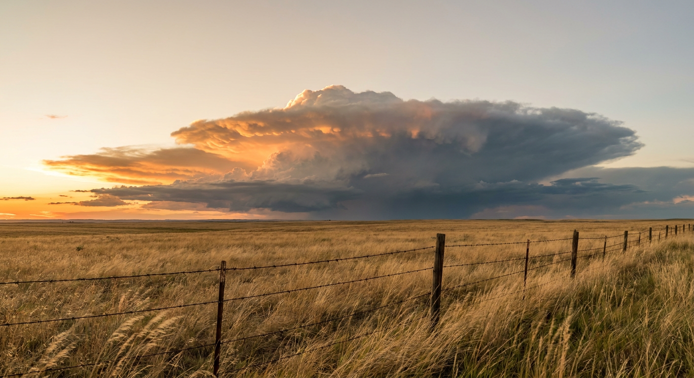
The Northern Plains Get the Storms Today While Flood-Weary Cities Finally Catch a Break
Alright y'all, the map has shifted. Yesterday the story was water, and a lot of it. Kelleys Island, Ohio saw 12 to 14 inches of rain. Frankford Creek in Philadelphia jumped six feet in 21 minutes. Then the show moved to Minnesota, where storm chasers and spotters logged multiple tornadoes near Detroit Lakes with roofs torn off buildings. Today the pieces rearrange, but the same broad pattern is still running the show.
Here's the setup. The Storm Prediction Center has a Slight Risk of severe storms posted from the northern High Plains into the Upper Midwest. That covers Minneapolis, Billings, and Rapid City, roughly 3.3 million people. A much bigger Marginal Risk stretches down through Dallas and Fort Worth and out east to Charlotte, Raleigh, and Virginia Beach. That's around 37 million folks who could hear thunder before the day's out.
Where The Real Punch Is Today
The northern Plains and Upper Midwest are the spot to watch. SPC has a 15 percent hail area and a 15 percent damaging wind area there, both Level 2 threats. In plain terms, if storms fire, they can drop quarter-size hail or bigger and kick out 60-plus mph gusts.
The local offices are already leaning in. Grand Forks flagged MLCAPE over 3,000 joules per kilogram across northeastern North Dakota, which is a lot of storm fuel. Bismarck and Sioux Falls are watching supercells along a quasi-stationary front that could clump into a nighttime complex of storms. That nocturnal setup matters, because storms that organize after dark tend to ride a low-level jet and pump out widespread wind damage.
Isolated tornadoes are on the table too, but the probability is low, a 2 percent area. That's a "one or two possible if everything lines up" number, not a widespread threat.
The Flood Story Isn't Gone, It Just Moved
The Weather Prediction Center has a Slight Risk for excessive rainfall in two places today. One is the northern Plains, riding along the same front feeding those storms. The other is the Mid-Atlantic, the same ground that flooded yesterday.
Here's the good news for the DC-Baltimore crowd. This is a Slight Risk, a Level 2 out of 4, not the Moderate Risk that hammered New Jersey and NYC on Sunday. The Baltimore-Washington office is still watching for training storms and precipitable water values over two inches, so a quick downpour can still cause street flooding. But the high-end, headline-grabbing setup has backed off for now.
For the northern Plains, the concern is training and backbuilding storms over ground that's already taken on water this week. WPC mentions localized two to three inch totals. When rain keeps falling over the same spot on saturated soil, it doesn't take much to overwhelm a creek.
What This Means For The Games And Events
Get this, there's a full slate of baseball tonight in the risk zones. The Guardians are at the Twins in Minneapolis, right inside that Slight Risk. Keep an eye on that one for delays if evening storms fire. Down in the Marginal Risk, the Phillies are in Cincinnati, the Astros are in Washington, and the Braves are in Pittsburgh. None of those are a lock for storms, but a pop-up shower or a stray strong cell could interrupt play.
If you're heading to the Calgary Stampede rodeo or any outdoor plans across the northern tier today, have a way to get warnings on your phone. Storms this time of year build fast in the afternoon heat.
Temperatures And The Bigger Picture
No big heat story to lead with today, which is a change from earlier this month when the Northeast baked under heat indices of 114 to 120 degrees. Minneapolis sits near its July normal of an 83-degree high. The best weather in the country today is up across the Great Lakes into northern New England, where humidity is low and highs are seasonable. If you're in interior Michigan or Maine, this is about as pleasant as a July day gets.
Looking ahead, a ridge is trying to build across the West and interior into next week. That tends to shove the storm track along its northern edge, which is exactly why the Plains and Upper Midwest keep getting these rounds of storms. The pattern that's dominated the first week of July is stubborn.
What I'm Watching
- Nighttime storm complex in the Dakotas and Minnesota. If storms organize after dark, damaging wind becomes the main concern across a wide area.
- Large hail with any supercell in northeastern North Dakota, where the instability is highest.
- Training rain over saturated ground in the northern Plains, where two to three inch totals could flood low spots.
- Quick downpours in the Mid-Atlantic. Lower risk than yesterday, but the ground is primed and it won't take much.
- The Twins game in Minneapolis tonight for potential weather delays.
Bottom Line
If you're in the northern High Plains or Upper Midwest, today is a "have your plan ready" day. Large hail and damaging wind are the main threats, and storms that fire after dark can spread wind damage over a wide area. Keep your phone charged and warnings turned on. For the Mid-Atlantic, the flood risk is real but lower than yesterday, so watch for street flooding in heavy downpours and don't drive through water you can't see the bottom of. Everybody else, especially the Great Lakes and northern New England, enjoy a genuinely nice July day.