Blog Article
Ohio State Fair Weather: Why This Week's Timing Is Good
The Ohio State Fair opened into a rare calm stretch of weather while flash flooding, severe storms, and a building heat dome threaten the rest of the country.
The Ohio State Fair Picked the Right Week to Open
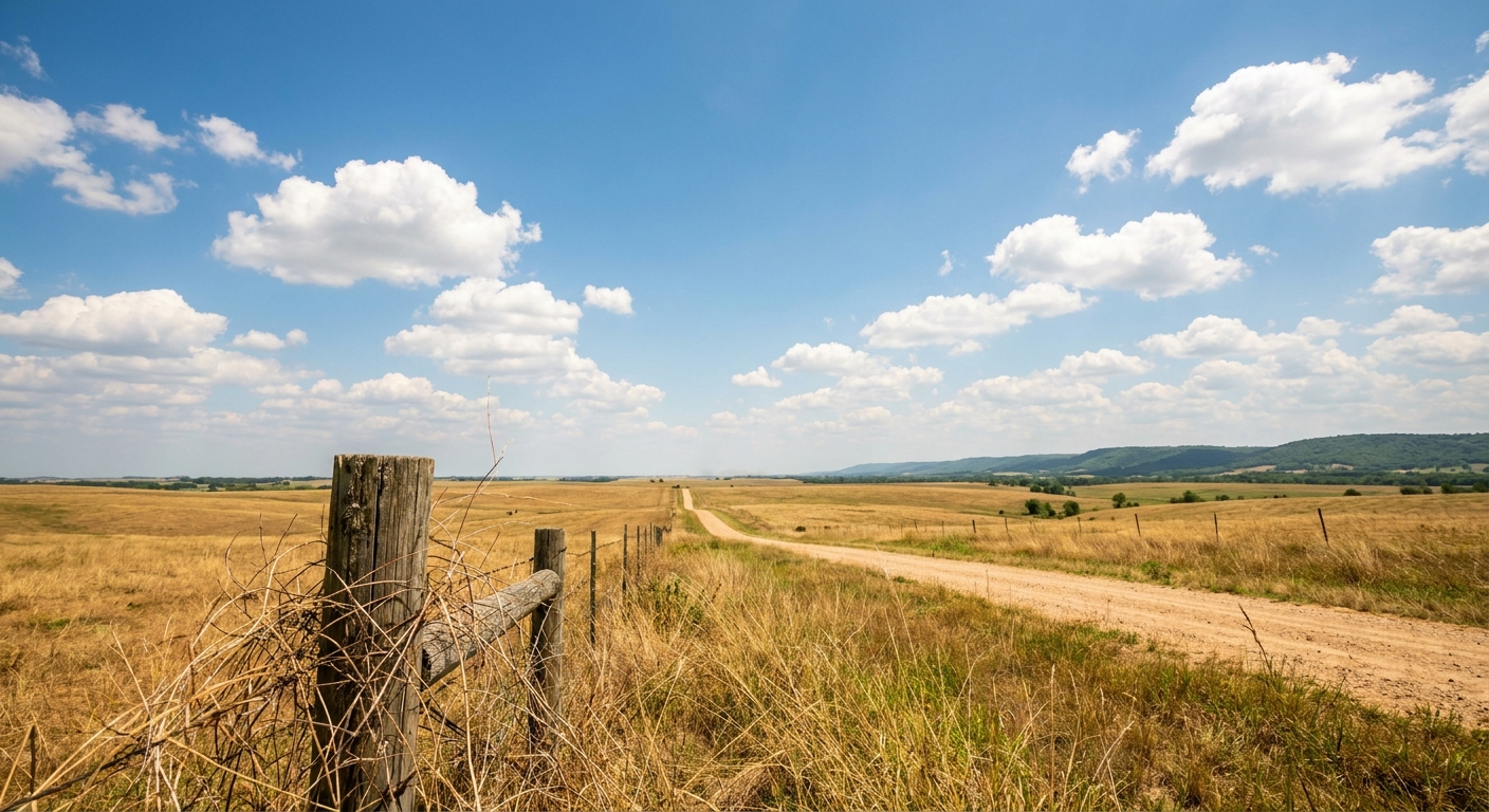
Alright folks, the Ohio State Fair opened its gates in Columbus today, and if you're headed out there for funnel cake and the Carousel, you picked a good week to do it. Not because I'm being nice. Because the atmosphere actually cooperated, and that is not something I get to say about a lot of outdoor events lately.
Fair Weather, Literally
Here's the thing about this particular Wednesday. Big chunks of the country are dealing with real weather problems today. Northeast Florida and the Big Bend are sitting under a Slight Risk for severe storms this afternoon and evening, with damaging wind gusts possible around Jacksonville and Tallahassee. The northern High Plains, out toward Bismarck and Rapid City, has that same Slight Risk tag for severe wind and hail. And New England is still working through the tail end of a Moderate Risk for excessive rainfall, the kind that trims and shifts through the day as forecasters watch where the heaviest bands set up over the Berkshires and Hudson Valley.
Meanwhile, the Ohio Valley, right where the fairgrounds sit, is sitting in the calm middle of all that. Our own nice weather outlook has the corridor from the Ohio Valley through the Great Lakes topping out at a BEAUTIFUL score on Thursday, July 30, as building high pressure scours out the humidity and opens up genuine sunshine. That is about as good as a forecast day gets under our scoring system. It is not a coincidence, either. High pressure tends to park itself over the middle of the country for a stretch in late July, and this week it happened to park right where the midway lights are.
Meanwhile, Everybody Else Is Having a Week
Let's put this in perspective, because Ohio catching a break is the exception this week, not the rule. Just 24 hours ago, we had multiple tornado warnings fire off across North Carolina, Virginia, Maryland, Delaware, and Pennsylvania, with a radar-confirmed tornado in Madison County, North Carolina, and a public tornado report near Trappe, Maryland. Flash flooding forced water rescues in Coalport, Pennsylvania and Durham, North Carolina. That outbreak came right on the heels of a Monday MCS that tore across the Midwest and Ohio Valley with 90 mph radar-indicated gusts near Orland Park, Illinois, and 4 inch hail up in Wisconsin.
So when I tell you Ohio's getting a nice stretch, understand that it's sitting inside a month that's been about as active as we've seen. July has produced everything from a 13.5 inch rain total in Polk City, Iowa to a 105 mph wind gust in Huron, South Dakota. The Ohio Valley calm this week is a genuine breather, not the new normal.
The Heat Dome Waiting in the Wings
Now, don't get too comfortable if you're planning fair trips into next week. Our extended outlook shows a heat dome building across the Central Plains and Midwest through the period, with heat index values climbing into the 113 to 117 degree range by early next week and dewpoints running into the 60s. That is brutal, oppressive heat, the kind that turns an afternoon at the fair into a real endurance test. For reference, Kansas City's normal July high sits at 89°F and Oklahoma City's at 94°F. Heat index readings well above 100°F on top of those normals means real heat stress, not just a warm day.
That expanding heat also matters for anyone eyeing the Sturgis Motorcycle Rally on August 7 or the Iowa State Fair on August 13. Both sit inside the corridor our data flags for building heat dome conditions. If you're planning either trip, build in hydration breaks and don't discount the afternoon sun the way you might on a normal summer day.
What This Means for Your Weekend Plans
If you're at the Ohio State Fair this week, enjoy the window. Thursday looks like the pick of the litter, with low humidity and genuine sunshine. If your travel takes you toward the Gulf Coast, the northern Plains, or New England instead, keep half an eye on the sky. Storms and flash flood risk are real possibilities in those spots through Thursday morning.
Weather doesn't care what's on your calendar. This week, for one Midwestern fairground, it happened to cooperate anyway.
https://ryanhallyall.com/blog/the-ohio-state-fair-picked-the-right-week-to-open