Blog Article
Severe Weather in Pacific Northwest & Miami Flooding
A stubborn Omega Block brings rare severe storms to the Pacific Northwest and heavy rain to Miami. Get the latest forecast and impacts for May 28.
The Omega Block Hangover and a Pacific Northwest Surprise
Y'all remember that stubborn Omega Block we discussed yesterday? Well, it is still the main character of our weather story. It is acting like a giant boulder in a stream, forcing all the active weather to go around it. That means we have some wild contrasts across the country today. If you are heading to the Tigers or White Sox games in the Great Lakes, you are looking at pristine, clear skies. But on the edges of that block, things are getting messy.
A Rare Setup for the Pacific Northwest
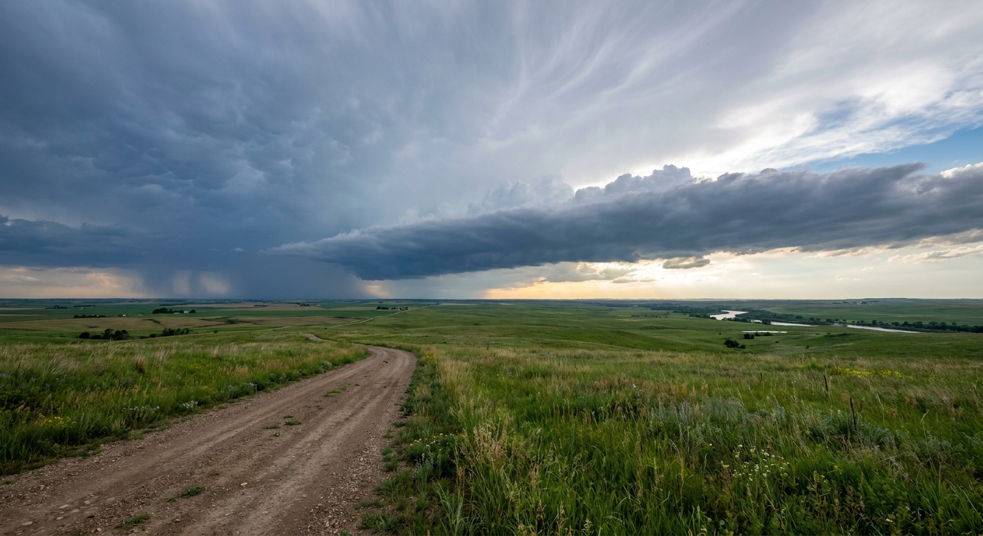
Usually, when we talk about severe weather in May, we are looking at the Plains. Get this. Today, the Storm Prediction Center has a Slight Risk posted for Washington and Oregon. Places like Yakima, Bend, and Pasco need to pay attention.
We have a strong upper-level low spinning over California, and it is pumping moisture and instability northward. The local National Weather Service office in Spokane is noting record-high storm fuel, or CAPE, for this area.
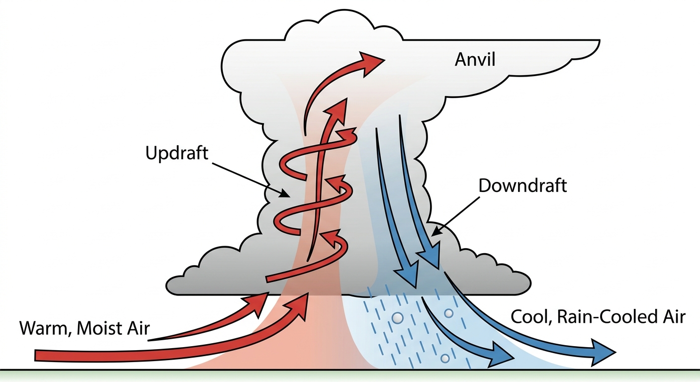
The main threats here are going to be large hail up to the size of quarters and damaging wind gusts that could reach 75 mph. There is even a 2 percent chance for an isolated tornado. If you have outdoor plans or a commute along the I-82 corridor this afternoon, keep your radar app handy.
Miami's Waterlogged Week
Down in South Florida, we are still tracking that sneaky sea-breeze convection. The Weather Prediction Center has a Marginal Risk for excessive rainfall draped right over the Miami metro corridor.
The ground is already saturated from a week of heavy rain. Today, slow-moving storms could drop another 4 to 6 inches of water in highly populated areas. Miami's average high for late May sits right around 87 degrees, and that heat is just cooking up more moisture along the coast. Expect localized street flooding and significant delays if you are flying in or out of MIA today. Give yourself extra time and do not drive through flooded intersections.
Fire Danger and the Plains
Out west, the Four Corners region is dealing with a totally different beast. A mid-level jet streak is pushing 60 mph downslope winds across western Utah and the surrounding areas. Combine that with dry air, and we have locally critical fire weather conditions. Any spark out there will catch and run fast.
Looking ahead to Friday, a Marginal Risk for severe storms pops up across the Southern Plains, from Oklahoma City down to Lubbock. We will see a dryline fire off a few storms capable of producing strong gusts and hail. It is a lower-end threat for now, but folks in Texas and Oklahoma know how fast these spring setups can escalate.
Bottom Line
- Washington and Oregon: Have a way to get warnings this afternoon. Secure loose patio furniture and be ready for strong winds.
- South Florida: Keep the umbrellas close and prepare for messy commutes. Turn around if you see water covering the road.
- Four Corners: Avoid any outdoor burning or activities that could create a spark.
- Great Lakes: Enjoy the beautiful weather. Get outside and take advantage of the clear skies.
https://ryanhallyall.com/blog/the-omega-block-hangover-and-a-pacific-northwest-surprise