Blog Article
Hurricane Lowell Nears Kauai as Pacific Sees Three Storms
Hurricane Lowell threatens Kauai with flooding rain and wind, while Hurricane Marie stirs dangerous SoCal surf. Here's what it means for your week.
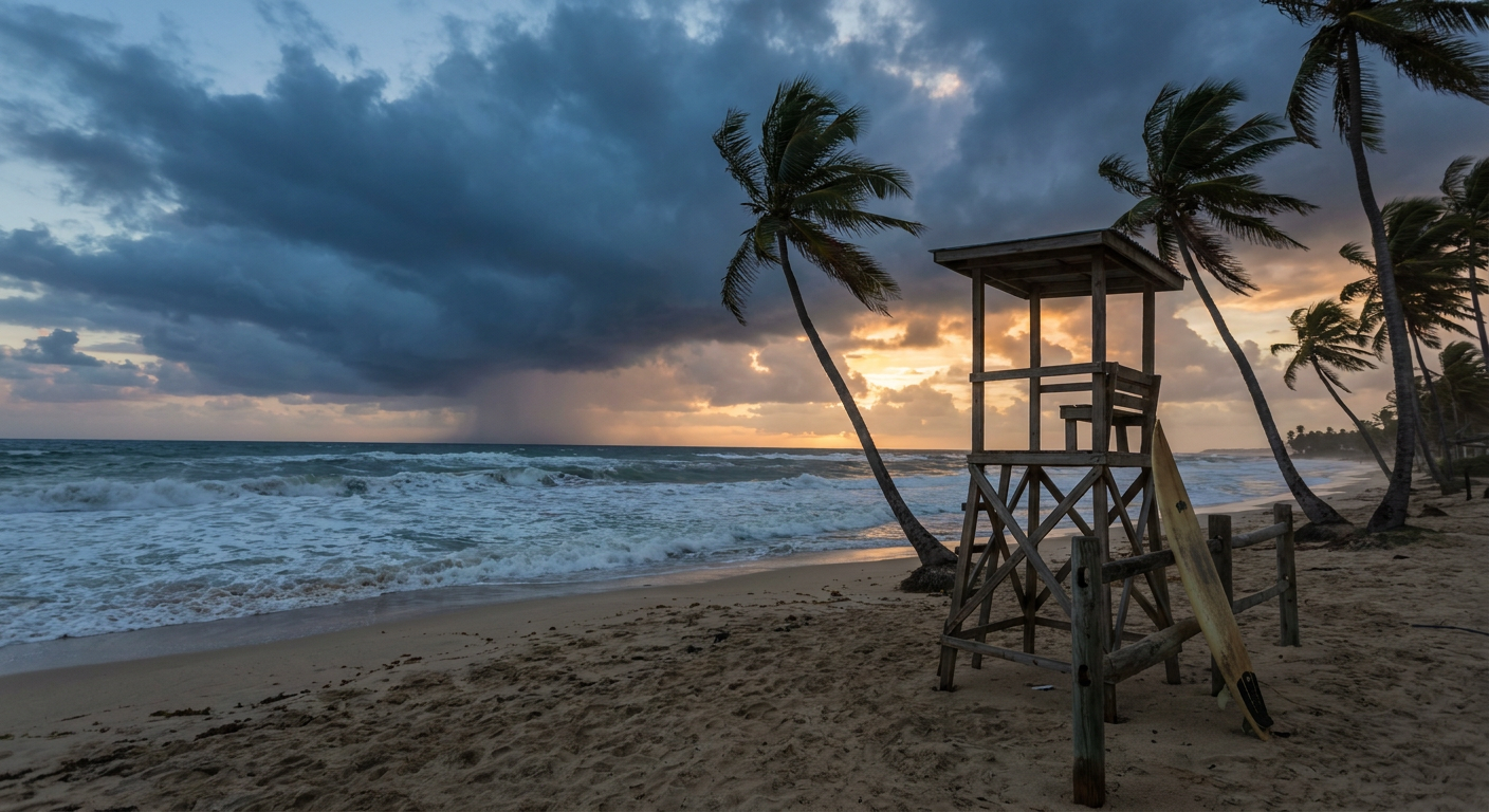
The Pacific Has Three Storms Spinning and Hawaii's Getting Squeezed First
Get this, y'all. Right now, tonight, there are three tropical systems spinning in the Pacific at the same time. Hurricane Lowell. Hurricane Marie. Tropical Storm Karina. That's not a typo, and it's part of why "ciclón tropical" is trending in Spanish-language searches this evening. Folks from Honolulu to Baja California are watching the same ocean do three different things at once.
We're going to walk through all three, because each one tells a different story, and one of them is about to change plans for a lot of people this week.
Hurricane Lowell: Kauai's Monday Night Problem
Lowell is a Category 3 hurricane right now, packing 121 mph sustained winds and a central pressure of 948 millibars. It's sitting about 545 miles south-southwest of Lihue, moving north at just 6 mph. That slow crawl matters. It gives the storm time to make its turn toward the islands without rushing.
Here's the timeline: tropical storm conditions are expected on Kauai and Niihau starting late Monday afternoon or evening, continuing into Tuesday morning. The Central Pacific Hurricane Center's forecast has Lowell weakening only gradually as southwesterly shear increases, meaning it could still be packing serious punch when it swings closest to the islands.
The numbers on rainfall are the real headline here. Kauai is looking at 6 to 10 inches of rain, with isolated totals up to 14 inches. The Big Island could see 4 to 8 inches, isolated up to 12. That's flash flood and mudslide territory, especially on steep terrain. Mountain tops and exposed slopes could see the strongest gusts, potentially into hurricane-force range even if the sustained wind at the coast stays lower.
An Air Force Reserve Hurricane Hunter crew flew into Lowell's eye earlier today and found the pressure had actually risen to 948 mb, with the eye growing to about 30 nautical miles across. That's a storm still fighting to hold its structure as it heads into a less favorable environment.
Closest approach to Kauai's south shore is forecast for Tuesday morning, with the storm passing roughly 66 kilometers offshore at that point, still packing an estimated 92 mph. If you know anybody with travel plans to the islands this week, now's the time to check their itinerary.
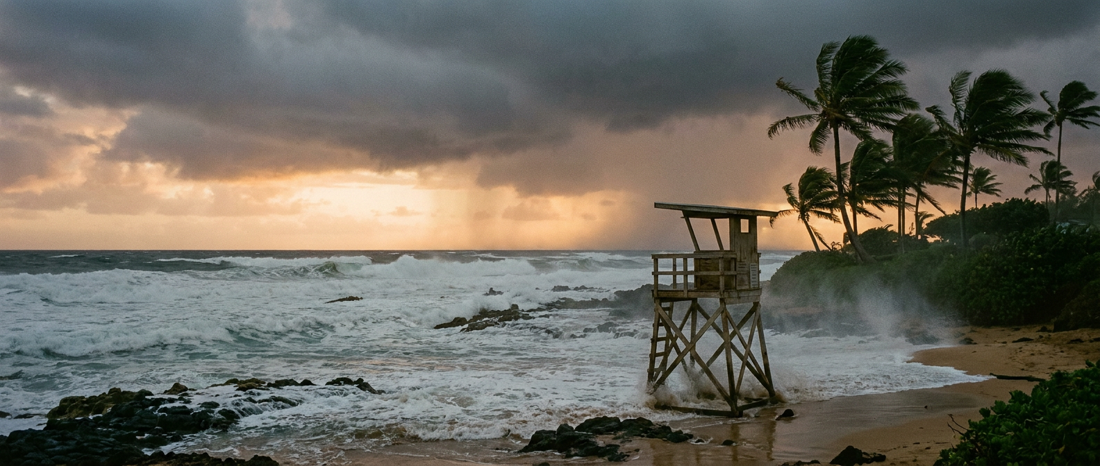
Marie's Still Ruining Beach Days a Thousand Miles Away
Meanwhile, Hurricane Marie is way out to the east, about 550 miles west-southwest of Punta Eugenia, Mexico, and roughly 695 miles south-southwest of San Diego. Marie's a Category 1 with 75 mph winds, and honestly, she's fading. Satellite imagery shows Marie losing convective organization, and forecasters have already trimmed the intensity estimate down for this advisory.
But here's the thing about a weakening hurricane way offshore: it doesn't need to make landfall to mess with your beach day. Marie is still going to produce dangerous beach conditions along the coast of Baja California and Southern California for another couple of days. That means rip currents and rough surf, even under a mostly sunny sky. If you're near the SoCal coast this week and the ocean looks bigger than usual, that's Marie's swell arriving well ahead of the storm itself, which is exactly how these things sneak up on people.
Karina's Fading Out
The third piece of this puzzle, Tropical Storm Karina, is on its way out. Winds are down to 52 mph, and forecasters expect it to become a post-tropical gale by tonight. It's sitting about 655 miles east-northeast of Hilo and drifting west-northwest, but it's lost its deep convection moving through dry air. Hawaii's still keeping half an eye on it for wind and surf, but Karina's not the story. Lowell is.
Meanwhile, Back Home: Charleston's Jazz Festival Weekend Isn't Out of the Woods
While Hawaii braces, the mainland's got its own weather to track tonight. The Storm Prediction Center has a Slight Risk of severe thunderstorms up across parts of the Southeast, including Charleston, South Carolina, Atlanta, Charlotte, and Kansas City. That's about 21.5 million people under that risk zone tonight.
Worth noting for anybody at Day 2 of the Lowcountry Jazz Festival in Charleston: that Slight Risk zone runs right through the Carolinas tonight, with a 15 percent chance of scattered damaging wind gusts of 60 mph or more if storms fire up, plus a hail threat that could produce quarter-size stones and isolated 2-inch hail in a smaller hatched area. This comes one day after storms rolled through the Carolinas Saturday night, knocking down trees from Salisbury to North Myrtle Beach and clocking a 72 mph gust at Fayetteville Regional Airport. The pattern hasn't fully let go yet. If you're at the festival and the sky starts doing something dramatic, don't wait around to find your umbrella.
The Takeaway
Three storms, one ocean, and two very different kinds of trouble. Lowell is the real deal for Hawaii, a major hurricane close enough to bring flooding rain and mountain-top wind gusts to Kauai starting Monday. Marie's already faded to secondary status but is still stirring up dangerous surf a thousand miles from where she'll ever make landfall. And back home, Sunday night's severe weather hasn't fully wrapped up for the Southeast.
Whatever your plans this week, whether it's a Hawaii trip, a beach walk in San Diego, or a jazz set in Charleston, check the forecast one more time before you walk out the door. The ocean's clearly got plans of its own.