Blog Article
F1 Austin vs. New Mexico Flooding: One Weekend, Two Weathers
While F1 fans enjoyed sunny skies in Austin, the San Juan River flooded 1,500 structures in New Mexico. Here's the weather behind both stories, and what's still coming tonight.
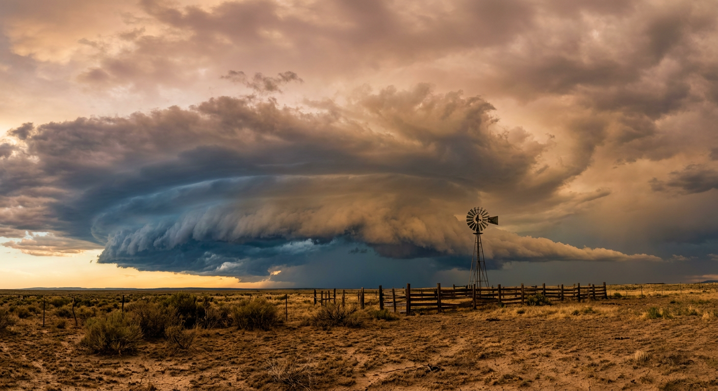
The Race Everyone Watched, The River Nobody Did
Alright, y'all. Let's talk about two Texas weekends that happened at the same time.
One had jet engines of sound, a packed grandstand, and cameras beaming the Circuit of the Americas to a global audience. The United States Grand Prix ran in Austin yesterday under what our own Nice Weather outlook actually flagged as some of the best sky conditions in the country. Dry air, light wind, that kind of autumn perfection that makes a race weekend feel like a postcard.
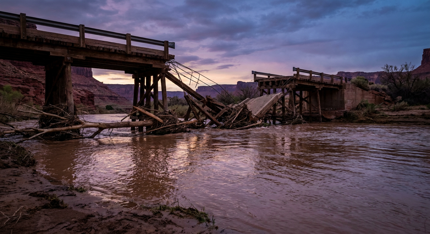
The other Texas weekend didn't make it to many front pages. A few hundred miles northwest, in Farmington, New Mexico, the San Juan River crested at 13.2 feet. Flood stage there is 8.5 feet. Law enforcement says as many as 1,500 structures got touched by that water, and crews pulled off more than 60 water rescues between Farmington and Bloomfield. In Colorado, a fire department watched the Park Creek Bridge get washed clean away. Down in El Paso, water piled up over a foot deep on Interstate 10 at Airway Boulevard, same highway system that funnels traffic toward every West Texas college town, including Stephenville, where Houston Christian plays Tarleton State tonight.
That's the thing about this country in October. You can have a bluebird race weekend in one city and a legitimate flood disaster four hours away, and most folks only hear about one of them.
Why the Desert Flooded While Austin Stayed Dry
Here's the meteorology, plain and simple. A slow-moving upper-level trough has been parked over the Four Corners for the better part of a week, and it kept drawing deep subtropical moisture up out of the south. Normally this time of year, the high desert of New Mexico, Arizona, and southwest Colorado is bone dry. October is supposed to be the quiet season out there. Instead, that moisture ran into mountainous terrain and did what it does best: it rained, and rained again, on the same drainages, day after day.
When you dump that much water on arroyos and river basins that spent the summer parched, the ground can't soak it up fast enough. The water runs off hard and fast, right into the channels. That's exactly what turned a slow river into a 13-foot flood stage overnight.
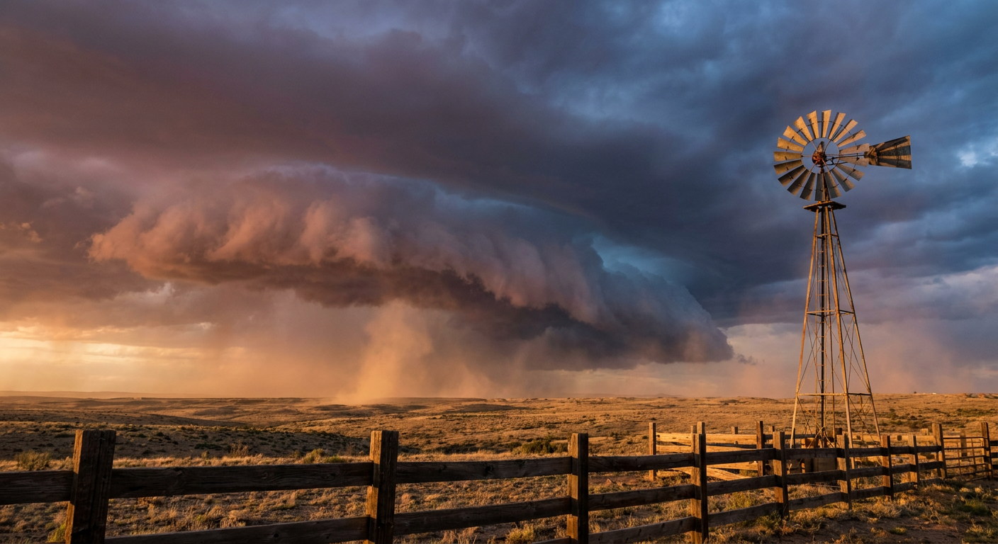
Meanwhile, Austin sat on the dry side of that same pattern. High pressure held firm over Central Texas, which is exactly why the race weekend got clear skies and light wind. Same continent, same week, wildly different outcomes depending on which side of the trough you were standing on.
Tonight and Tomorrow: The Threat Hasn't Left
This isn't a story that wrapped up yesterday. The Storm Prediction Center still has a Slight Risk of severe thunderstorms tonight across New Mexico and far west Texas, the same general footprint as yesterday's outbreak that produced two tornado warnings and golf-ball-adjacent hail near El Paso. Damaging wind gusts up to 75 mph are possible in the hatched zones, and isolated large hail remains on the table.
The Weather Prediction Center has also kept a Slight Risk of excessive rainfall going for that same corridor through Sunday morning, which means more water could pile onto ground that's already saturated from this week's flooding. Sunday, that flood threat context shifts: a new Slight Risk opens up across southeast Florida, where locally 3 to 5 inches of rain is possible. If you've got plans down around Orlando or the I-4 corridor this weekend, including tonight's outdoor show in Apopka, keep half an eye on the radar before you head out the door.
- Tonight: Slight Risk severe storms, NM and far west TX, including El Paso
- Tonight into Sunday morning: Slight Risk excessive rainfall, same corridor plus San Juan Mountains
- Sunday: flood risk shifts to southeast Florida, 3 to 5 inches possible locally
- Monday-Tuesday: Marginal risk lingers over the central/southern High Plains and southeast Florida
What About Hurricane Vance?
Out in the Eastern Pacific, Hurricane Vance peaked as a Category 2 yesterday with 110 mph winds, then started losing steam fast. As of this afternoon it's down to a Category 1 with 92 mph winds, and the National Hurricane Center says cold water and increasing wind shear have torn its eyewall open. Vance is forecast to stay well offshore of mainland Mexico, with only a low chance, 5 to 10 percent, of tropical storm force winds reaching spots like Manzanillo and Lázaro Cárdenas early next week. No U.S. impact is expected. It's a storm worth watching if you've got family along that stretch of Mexican coast, but it's not driving our weather here at home.
The Takeaway
It's easy to let the weekend with the cameras be the weekend you remember. Formula 1 pulled a sellout crowd to Austin under a sky that genuinely was about as good as it gets this time of year. But a few hours up the road, neighbors in Farmington and South Fork are pulling RVs out of rivers and figuring out how to get back into homes that just flooded for the second time this month. Same week, same state line, two completely different stories. Both are real. Only one of them made the highlight reel.
The severe weather and flood threat in New Mexico and far west Texas isn't over tonight, and southeast Florida picks up its own flood risk tomorrow. Check the forecast before you load up the car, wherever you're headed this weekend.
https://ryanhallyall.com/blog/the-race-everyone-watched-the-river-nobody-did