Blog Article
Balloon Fiesta Calm Meets Santa Ana Winds This Weekend
A high pressure ridge is giving balloon pilots calm skies while drying out Southern California into Santa Ana wind territory, and the Gulf Coast braces for heavy rain.
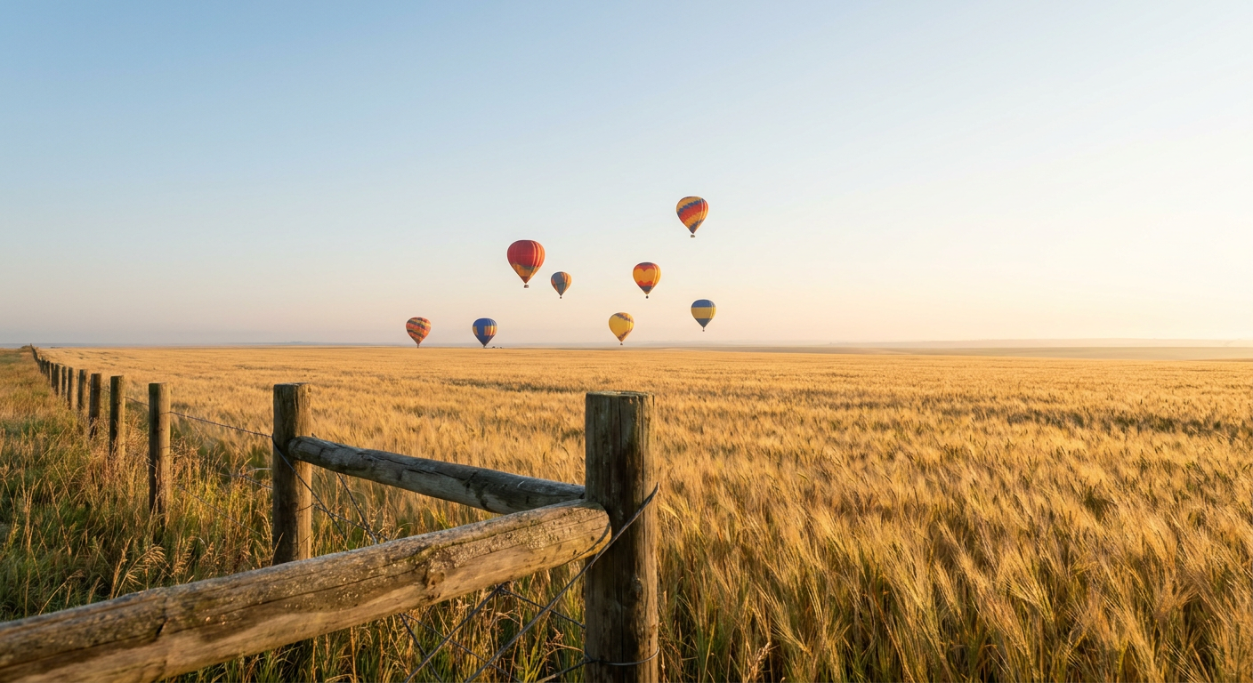
The Ridge Behind the Balloons: How One Weather Pattern Is Running Your Weekend
Alright folks, here's the thing about early October. One weather pattern can make a balloon pilot's whole week and ruin somebody else's fire weather day, all at the same time. That's exactly what's happening right now.
Dawn Patrol Weather
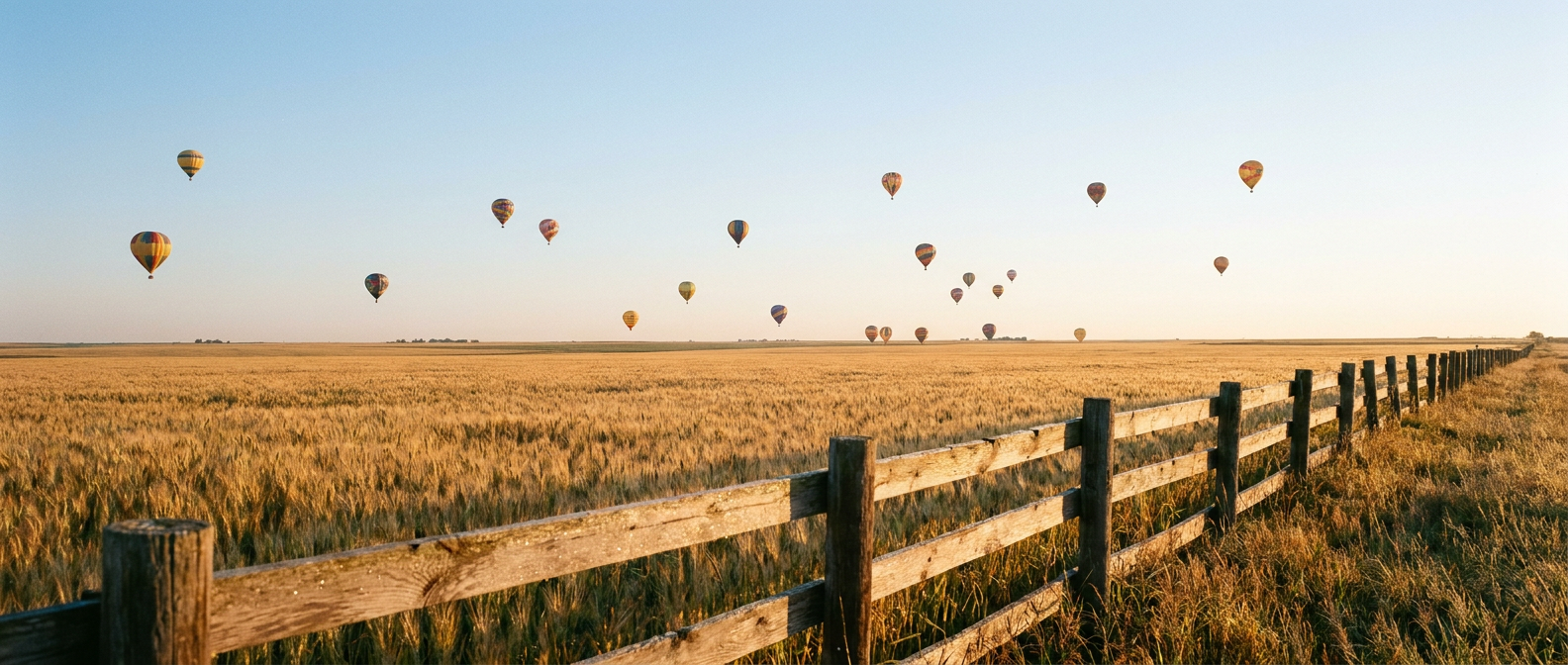
If you know anybody who flies hot air balloons, you know they talk about "dawn patrol" like it's church. Calm winds, a crisp temperature inversion holding the air still near the ground, clear skies so the morning light does its thing. That's the whole recipe, and it's why balloon pilots obsess over broad high pressure ridges more than almost anybody else in the outdoor world.
Our own Nice Weather outlook has been tracking exactly that kind of ridge all weekend. Central New York and north-central Pennsylvania hit PERFECT territory today. The corridor from the central Plains through the Great Lakes and Ohio Valley is sitting at BEAUTIFUL. And the extended look through midweek shows a broad, if temporary, mid-level ridge parked over the CONUS, the same ingredient that makes for glassy-calm mornings almost anywhere it sets up. That's the backdrop for a week when balloon festivals and fall outdoor events are stacked across the calendar, and it's a tidy real-world lesson in why meteorologists get excited about something as boring-sounding as "high pressure."
When the Name Says It All
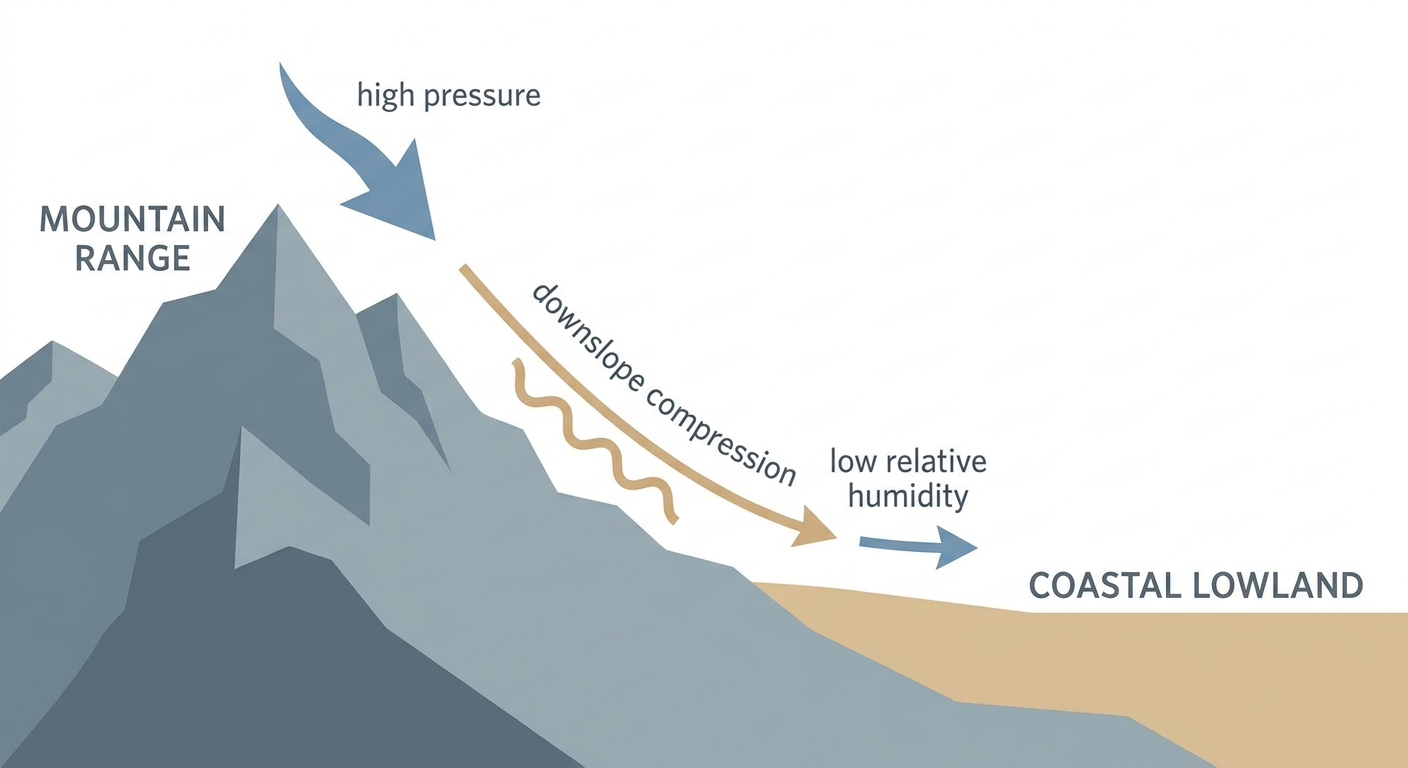
Here's where it gets fun. Tonight's Neverender Festival is happening in Santa Ana, California. And Santa Ana, California, is currently sitting under classic Santa Ana wind conditions. SPC's fire weather outlook has Southern California flagged for Elevated fire weather today and again Sunday, with easterly offshore winds running 10 to 15 mph and gusting up to 40, relative humidity dropping to 15 to 20 percent, and energy release components sitting in the 70th to 90th percentile. That's dry air pouring down off the mountains instead of the usual cool onshore flow, and it's the same physical setup people mean when they say "Santa Ana winds," even this early in the season.
That same offshore pattern stretches down to Escondido, where the San Diego Jazz Festival crowd is dealing with gusty, bone-dry air, and over to Fontana for the Happiness of Pursuit Festival. None of this means rain. It means dust, low humidity, and a fire weather risk utilities and fire crews are watching closely. If you're at any of those events, it's a good weekend to skip the campfire and keep an eye on air quality.
Meanwhile, up in Napa, the Palm Tree Music Festival crowd is sitting outside that offshore flow entirely, riding the same calm, dry ridge that's making mornings pretty everywhere else in the country.
The Other Side of the Coin
Now flip to the Gulf Coast, where nobody's worried about dry air. WPC has a Slight Risk of excessive rainfall running from the central Gulf Coast through the lower Texas coast and into eastern North Carolina, with 3 to 6 inches possible and isolated totals near 7 to 10 inches if storms train in place over coastal Mississippi and Alabama. Houston averages an 82 degree high this time of year, New Orleans sits at 81. That warmth keeps plenty of moisture loaded into the atmosphere, which is exactly the fuel a stalled front and tropical wave need to squeeze out heavy rain.
Add to that two hurricanes spinning in the Pacific right now. Hurricane Nolo is a Category 3 well out past Hawaii, moving fast toward the International Date Line with no landfall forecast. Hurricane Rachel is a Category 1 sitting a few hundred miles off Baja California, also with no coastal watches in effect. Neither is a direct US threat today, but they're a reminder that the Pacific hurricane season hasn't slowed down even as we roll into October.
The Takeaway
Same week, same ridge, two totally different stories. One side of the country gets calm mornings good enough for balloon flights and festival weather. The other side gets dry gusty winds that turn a music festival's name into an accidental forecast, and a third corner is watching rain gauges fill up on the Gulf Coast. That's early October for you. It's never just one weather story, it's whichever one happens to be sitting over your corner of the map.