Blog Article
Severe Weather Shifts to Georgia and Florida Today
Tracking a Level 2 severe weather risk for Alabama, Georgia, and Florida today following last night's destructive tornadoes in Mississippi.
The Severe Weather Threat Shifts to Georgia and Florida Today
Alright y'all, we had a long night across the Deep South. If you read last night's update, you know we were tracking a highly volatile setup. That system produced large tornadoes in southwestern Mississippi and dropped baseball-sized hail across Texas and Alabama. At the exact same time, folks in the Colorado Rockies were digging out from over 33 inches of late-season snow.
Today, the pattern is shifting east. The severe weather threat is not over, but it is moving into new territory.
The Southeast Severe Threat Today
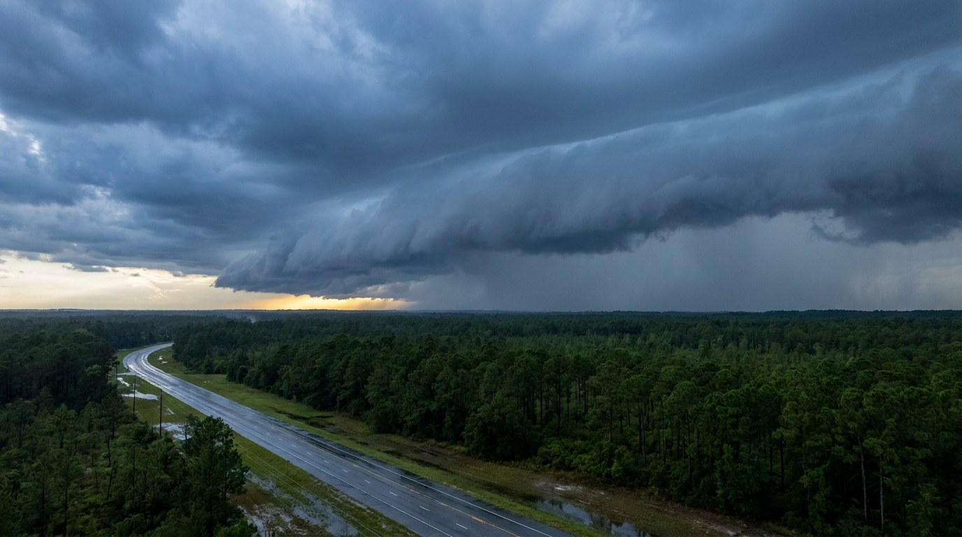
The Storm Prediction Center has a Level 2 out of 5 Slight Risk for severe storms covering southeast Alabama, south Georgia, and the Florida Panhandle. Cities like Tallahassee, Valdosta, and Albany are right in the middle of this zone.
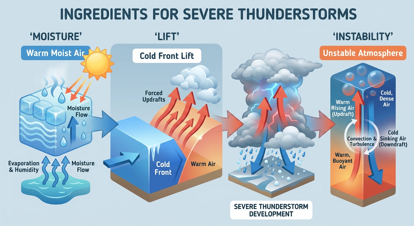
The main hazard today is going to be damaging wind gusts over 60 mph. We also have a 5 percent probability area for a few tornadoes. The air down there is incredibly juicy right now. Normally in early May, a city like Atlanta tops out around 80 degrees. Today, the moisture pooling ahead of this system is going to make the air feel much heavier and provide plenty of fuel for these storms.
If you have outdoor plans or a commute along the I-10 corridor in the Panhandle, you need to have a way to get warnings. These storms will likely organize into a line, meaning the wind threat will cover a lot of real estate very quickly.
Heavy Rain for the Gulf Coast
Further west, we have a stalled front along the Gulf Coast that is beginning to lift northward as a warm front. That brings a Marginal Risk for excessive rainfall from the South Texas coast up through the Lower Mississippi Valley.
We are looking at a very saturated environment. If you live in Houston or New Orleans, keep the umbrella handy. The ground is already wet in a lot of these spots from earlier in the week, so it will not take much to cause some localized street flooding.
Looking Ahead to Friday
By tomorrow, a new upper-level trough will dig into the Central Plains. That brings a Level 1 out of 5 Marginal Risk for severe storms from central Oklahoma up into Missouri.
The main concerns there will be isolated large hail and damaging wind gusts. If you are heading out to the Royals game in Kansas City tomorrow night or traveling along the I-44 corridor, keep an eye on the sky. The local forecast office in Norman is noting that increasing moisture return will fuel these storms as a frontal boundary sharpens up.
Bottom Line: The severe threat today is focused on the Florida Panhandle, south Georgia, and southeast Alabama. Have your weather radio or phone alerts turned on, especially if you live in a mobile home or plan to be on the road. For the rest of the South, expect periods of heavy rain to persist through the end of the week.
https://ryanhallyall.com/blog/the-severe-weather-threat-shifts-to-georgia-and-florida-today