Blog Article
Equinox Sunsets, Aurora Chances, and 3 Tropical Storms This Week
The equinox brings viral sunset alignments this week, but the atmosphere isn't ready for fall. Three tropical storms spin at once as flash flood risk builds in the Southwest.
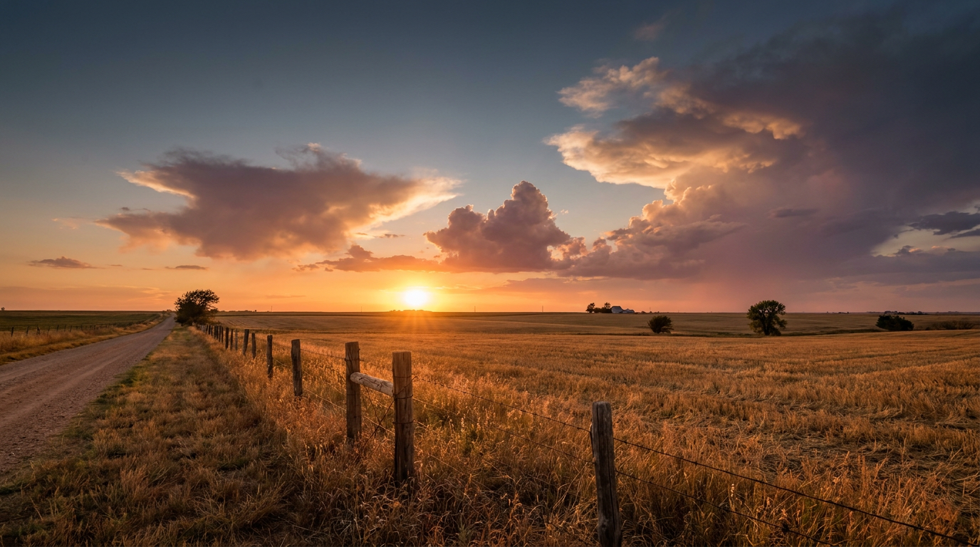
The Sky's Putting On Two Shows This Week, and Only One of Them Is About the Weather
Alright folks, let's talk about the sky, because it's got a lot going on right now and most of it has nothing to do with a forecast model.
You've probably seen the headlines about the equinox 'henge' effect. This week the sun sets low and dead-center down a lot of American city street grids, the same phenomenon that made Manhattanhenge famous. It's happening because we're right at the astronomical turn of the season. The sun's path crosses the equator this week, giving us close to equal day and night everywhere on Earth. That's the actual definition of fall arriving.
Here's the thing though. The atmosphere doesn't care what the calendar says. Down here in the South, September still runs like summer's back half, and this week is proof.
Three Storms Spinning at Once
Get this. Right now there are three named tropical systems on the map, and that's not something you see much once folks start pulling out sweaters.
- Hurricane Polo is sitting off the coast of southwest Mexico and rapidly intensifying. Hurricane Hunter aircraft flew into it today and found the storm building a second wind max inside its eyewall, a sign it's still strengthening. It's a Category 1 now with 86 mph winds, but the trend is up. Coastal spots like Zihuatanejo and Acapulco are under an "action" threat level in our impact model, meaning preparations should already be underway there.
- Tropical Storm Odalys is way out in the East Pacific, expected to become a hurricane within a couple of days. No land is in its path right now, it's just churning open water west-southwest of Baja.
- Tropical Storm Fay is out near the Azores, weakening under wind shear. It's basically running out of gas over the open Atlantic.
None of these threaten the US coastline directly, but three simultaneous systems tells you something important: ocean heat content is still plenty high, and hurricane season doesn't check a calendar either. Statistically we're past the September 10 peak, but the tropics are still fully capable of cranking one out.
The More Immediate Concern: Flooding, Not Wind
While the tropics simmer offshore, the real hazard for the next couple days is water, and it's landing in two very different places.
The Storm Prediction Center has a Marginal risk of severe storms today stretching from the Southeast into the central Appalachians and over to the Texas South Plains, covering cities like Atlanta, Nashville, Charlotte, and Lubbock. We're talking isolated damaging gusts and maybe some quarter-size hail if a storm gets going, not a widespread severe weather day.
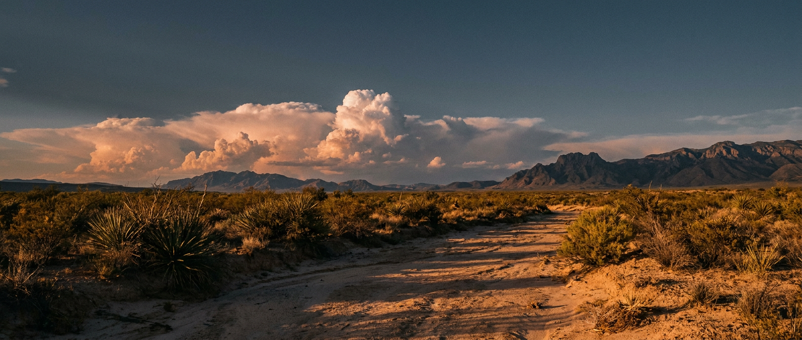
The bigger story is rainfall. The Weather Prediction Center has bumped southern New Mexico, plus parts of eastern Arizona and far southwest Texas, up to a Moderate risk of excessive rainfall for Tuesday into Wednesday. A strengthening upper-level jet, tropical moisture streaming in, and easterly upslope flow are all lining up to produce repeated rounds of heavy thunderstorms. That's a recipe for flash flooding in desert terrain, and it's especially dangerous near burn scars in the Sacramento Mountains, where scorched ground can't soak up water the way it normally would. Debris flows are a real concern there, not just standing water on the road.
Meanwhile, the central Appalachians and parts of Virginia and North Carolina are carrying a Slight risk of their own, on top of soil that's already saturated from earlier rounds this month.
What This Means If You've Got Plans
The Oklahoma State Fair wrapped up its opening week, and the State Fair of Texas kicks off in Dallas next week. If you're headed to either, keep an eye on the daily outlook rather than the calendar. September in Texas still averages a high near 90 in Dallas and San Antonio, well above what most people picture when they hear "fall fair season." That heat, paired with any afternoon pop-up storm, is the same combo that's fueled the marginal severe risk we're watching today.
And if you're one of the die-hards tuning into Monday Night Football tonight for Giants-Rams, the good news is SoFi Stadium's covered roof means the only weather that matters is whatever's happening in your own tailgate lot.
Oh, and Watch the Sky Thursday Night Too
One more item for the sky-watchers. NOAA's Space Weather Prediction Center is calling for a G1 (Minor) geomagnetic storm on September 25, with the Kp index expected to peak around 5. That's a low-end storm, but it's enough to occasionally push the aurora down into the northern US, think North Dakota, Minnesota, Maine on a good night. Nothing guaranteed, and nothing visible from the South, but if you've got family up north, tell them to glance outside after dark that night.
The Takeaway
The equinox is a clean, elegant line the Earth draws in the sky, equal day, equal night, sunsets that line up perfectly with a city grid. The atmosphere doesn't draw such clean lines. It's still running three tropical systems, still cranking out flash flood risk in the desert, and still hitting 90-degree highs in Texas. Fall shows up on your phone calendar this week. It'll take its time actually showing up outside.