Blog Article
Severe Weather Forecast: Kansas City to Chicago Storms
An Enhanced Risk of severe weather targets the Central Plains today before moving to the Midwest on Monday. Track the hail, wind, and tornado threats.

The Storm System Isn't Done: Severe Threats Shift to Kansas and the Midwest
Alright y'all, that storm system we tracked through Texas and Oklahoma last night is still kicking. We saw some incredibly intense weather yesterday, including confirmed tornadoes in Oklahoma and baseball-sized hail in North Texas.
Today, the main energy of this system is lifting north. The Storm Prediction Center has an Enhanced Risk posted for parts of the Central Plains, including Kansas City, Wichita, and Topeka.
Today's Threat in the Plains
If you are heading out to Kauffman Stadium to watch the Royals play the Angels tonight, you need a rock-solid weather plan. We are looking at a volatile atmosphere. Normal late April highs for Kansas City sit right around 66 degrees, but we are pulling up a ton of warm, juicy air from the Gulf of Mexico to feed these storms.
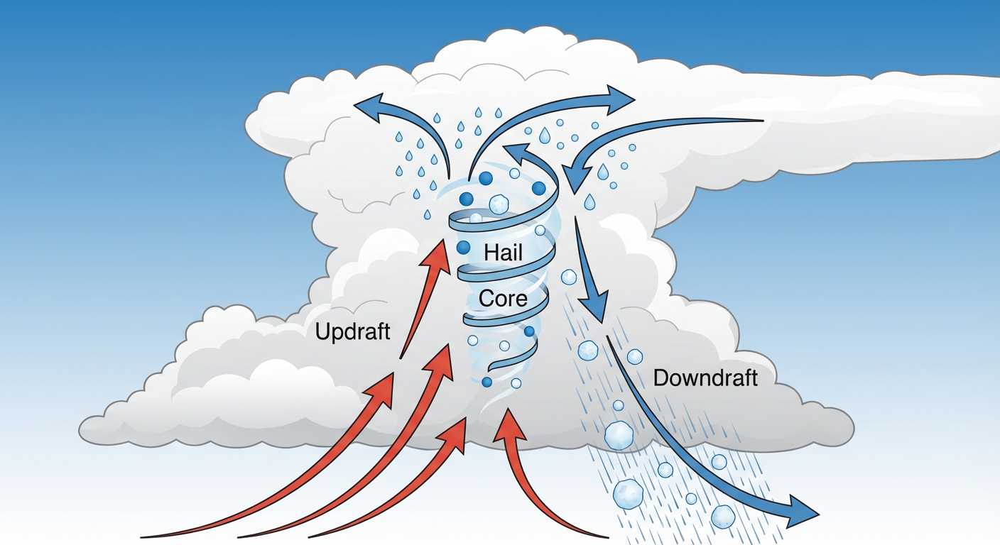
The primary threats today are going to be very large hail and damaging winds. The data shows a hatched risk for hailstones over two inches in diameter. That is the kind of ice that will total a car windshield in seconds. We also have a 10 percent risk for tornadoes in the Enhanced area. Storms will likely start as discrete cells this afternoon before merging into a line tonight.
Extreme Fire Danger Out West
While the eastern side of this system is soaking wet, the western side is bone dry. We have an Extremely Critical fire weather area stamped across eastern New Mexico and the far western Texas Panhandle today.
A powerful mid-level jet is going to mix down to the surface, bringing wind gusts over 60 mph. Combine that with blowing dust and single-digit humidity, and you have a recipe for fast-moving wildfires. Places like Clovis and Tucumcari need to be on high alert. Do not do anything outside that could throw a spark.
Monday Shifts to the Midwest
This whole mess does not just disappear overnight. By Monday afternoon, the severe threat shifts east into the Middle Mississippi Valley.
We have another Enhanced Risk in place for tomorrow, covering Chicago, St. Louis, and Indianapolis. The dynamic changes a bit here. While hail and tornadoes are still possible, the main concern transitions to widespread damaging straight-line winds. The SPC is highlighting a massive 45 percent probability for severe wind gusts.
If you are flying through O'Hare or Midway tomorrow, expect significant delays and ground stops. The same goes for anyone driving the I-55 corridor.
Here are the key things to watch over the next 48 hours:
- Giant Hail Today: The Central Plains will see the biggest hail threat this afternoon and evening.
- Fire and Dust: Extreme fire weather and blowing dust will create hazardous conditions in the Texas Panhandle and eastern New Mexico.
- Midwest Wind Threat: Monday brings a high-end risk for damaging straight-line winds from Illinois down through Missouri.
- Flash Flooding: Heavy rain training over the same areas could drop 1 to 2 inches per hour in northern Illinois and southeast Iowa tomorrow.
Bottom Line
The weekend is wrapping up with a highly active weather pattern. Have multiple ways to get warnings today if you live in Kansas or Missouri. If you are in the Midwest, use today's quiet weather to secure loose items in your yard before Monday's wind arrives.