Blog Article
College Football Weekend Weather: Storms Clear by Kickoff
Hurricane Lowell weakens near Hawaii while a cold front sweeps the mainland right before college football's biggest early-season weekend. Here's the full breakdown.
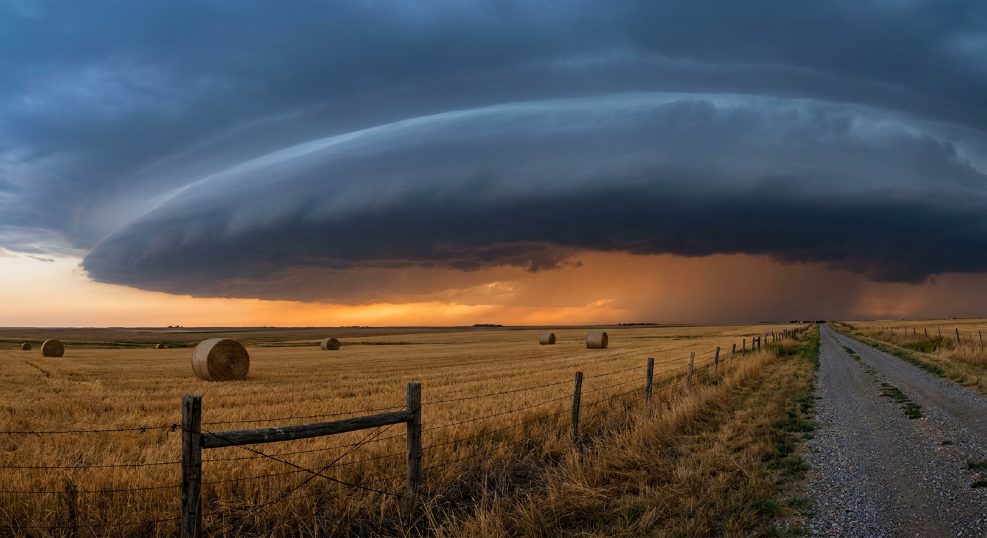
The Storm Track Crashes Rivalry Weekend, Then Clears Out Just in Time for Kickoff
Y'all, let's start in Hawaii, because Hurricane Lowell is still out there. Good news first: Lowell's coming apart. The center's exposed, the convection's disheveled, and satellite estimates have been falling about as fast as the math allows. It's a Category 1 now, down from the Category 2-3 punch it threw at Kauai and Oahu yesterday. But here's the thing about a storm that's losing its punch, it doesn't lose its rain. Kauai's still looking at 2 to 4 more inches on top of what already closed Kuhio Highway and flooded the Hanalei River Bridge area. If you know somebody on that island this week, the wind threat is fading but the flood and mudslide threat isn't done yet.
Now, back on the mainland, where the real cultural story of the week is unfolding on turf, not surf. This is one of the biggest slates of the young college football season. Villanova at Louisville. Missouri at Kansas. Howard at Indiana. Oregon at Oklahoma State. Oklahoma at Michigan. Penn State at Temple. Washington State at Kansas State. That's a lot of tailgates, a lot of parking lots, and a lot of people checking their phones for a forecast right as the atmosphere decides to reshuffle.
What's Actually Moving Through
Here's the setup, in plain terms. A cold front is sliding east across the country this week, and it's dragging severe storms and heavy rain with it in stages:
- Tonight into Wednesday, the Storm Prediction Center has a Slight Risk of severe storms from southeast Nebraska into Iowa, near Omaha and Des Moines. Damaging wind gusts are the main concern.
- Wednesday into Thursday, that risk slides east into eastern Ohio and western New York, Cleveland, Akron, Youngstown, Erie, and Buffalo all sit under a Slight Risk with a 15 percent chance of damaging wind.
- Thursday into Friday, the Weather Prediction Center has a Slight excessive rainfall risk over the Upper Ohio Valley and Central Appalachians, and Kentucky is specifically called out in the forecast discussion for higher rainfall totals.
That last one matters if you're headed to Louisville. Villanova and Louisville kick off Friday night, and the wettest window looks to wrap up by Friday morning, well ahead of the ball being kicked. Same story in Lawrence, Kansas, where Missouri and Kansas play Friday night, that game sits south and west of the heaviest action.
The Payoff: A Beautiful Thursday
Here's the part that should make tailgate planners happy. Once that front clears the Ohio Valley, dry high pressure takes over. The forecast discussion for Thursday actually uses the word "BEAUTIFUL" for the central Great Lakes and Ohio Valley, light winds, low humidity, mostly clear skies. That's the kind of setup that sticks around into the weekend for most of the Saturday noon kickoffs, Oklahoma at Michigan, Penn State at Temple, Howard at Indiana.
The one exception worth watching is the Plains and Midwest corridor. The extended outlook flags recurring showers, gusty winds, and isolated severe storms lingering in that zone through the period, which is worth keeping an eye on if you're driving into Manhattan, Kansas, for Washington State-Kansas State or Stillwater for Oregon-Oklahoma State. Nothing locked in yet, just a zone that hasn't fully dried out behind the front.
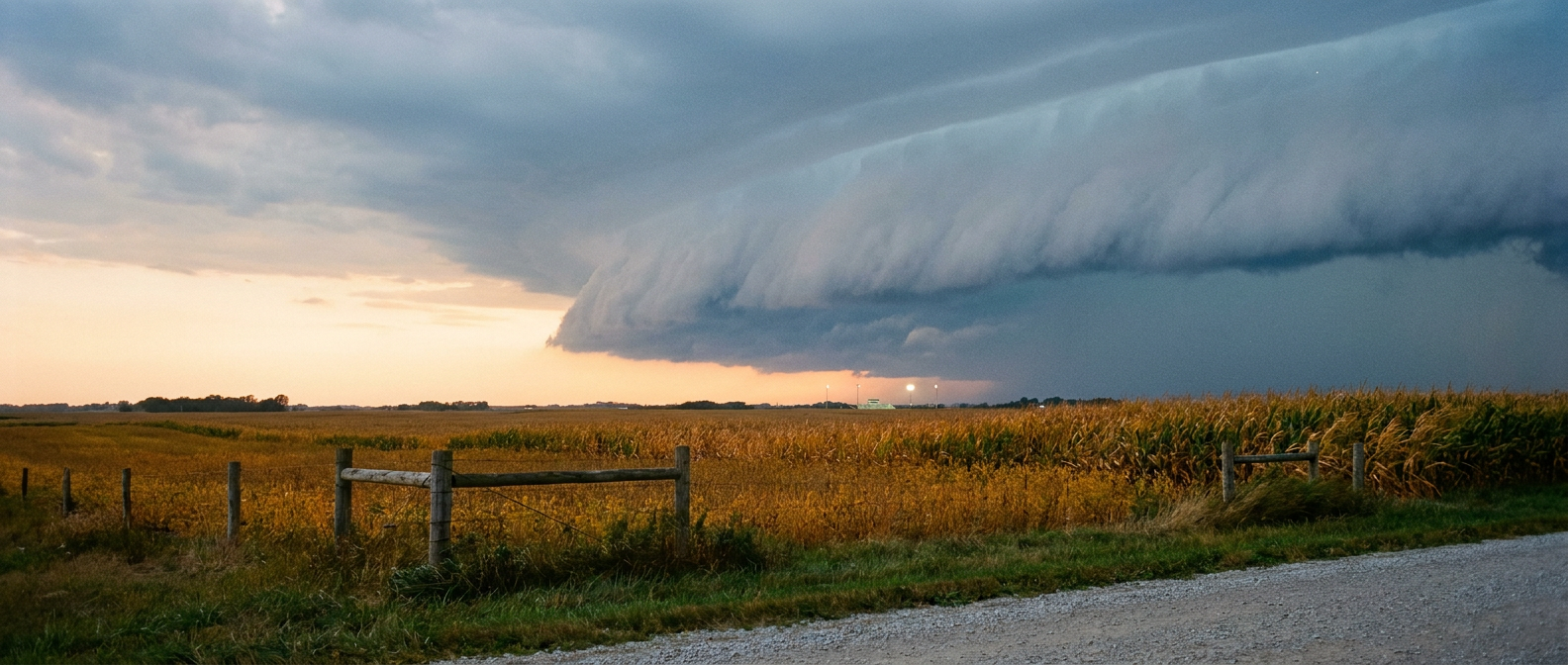
For context on temperatures this time of year, Detroit averages a high around 74 with lows near 54 in September, Kansas City runs closer to 80/59, and Oklahoma City and Tulsa sit warmer still around 84/62. Nothing in the data points to anything wildly outside those norms for kickoff, this is just a garden-variety September pattern doing garden-variety September things, storms up front, clearing behind.
One More Reason to Look Up Tonight
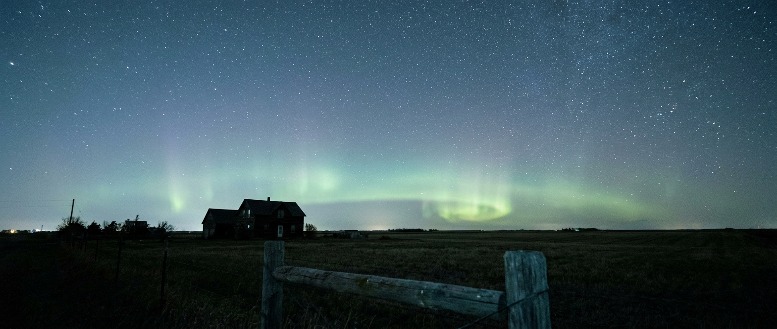
While all that's sorting itself out on the ground, there's something happening overhead. NOAA's Space Weather Prediction Center has a G1, or Minor, geomagnetic storm in progress tonight, driven by a coronal hole high-speed stream and a couple of CMEs that left the sun over the weekend. Kp hit 5 today, which is enough to push the aurora down into the northern tier of the Lower 48 on a clear night. If you're anywhere from the Dakotas to the Upper Midwest or northern New England and the sky's clear where you are, it's worth a five-minute look outside after dark. Nothing dramatic, no impact to power grids or GPS expected, just a decent shot at some green on the horizon for anybody with a camera phone and a little patience.
The Takeaway
Lowell keeps losing steam over open water, but Kauai's not out of the flood woods yet. On the mainland, the same front that's kicking up wind and rain from Iowa to Kentucky this week clears out just in time for the bulk of this weekend's marquee college football slate. Pack a poncho if you're headed to Louisville Friday night, but if Saturday noon kickoff is your plan in the Great Lakes or Ohio Valley, the sky should cooperate. And if you're up north tonight, take thirty seconds and check the horizon. Might be worth it.