Blog Article
Texas Flood Threat Increases as Dryline Stalls
A stalling dryline in Texas brings a significant flash flood threat to the I-35 corridor, while severe storms push into Oklahoma and Kansas.
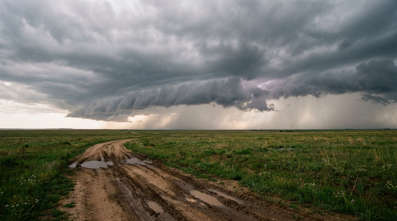
The Texas Dryline Stalls Out and the Flood Threat Goes Up
Alright folks, we talked yesterday about that dryline firing up severe storms out in West Texas for the start of the weekend. Well, here is the thing. That boundary is not in a hurry to go anywhere. As we head into Sunday, it is going to stall out across Central Texas. And that changes our main hazard from large hail to a whole lot of water.
We have a complicated setup stretching from the Southern Plains all the way to the West Coast. We need to talk about the flood potential in Texas, the continued severe threat pushing north, and a massive snow event in the mountains.
The I-35 Water Hazard
The Weather Prediction Center has a Slight Risk for excessive rainfall posted for Sunday into Monday. This covers a big chunk of the Hill Country right up through the I-35 corridor south of Dallas.
We are looking at a classic setup for backbuilding thunderstorms. Think of it like a train on a track. Instead of a storm moving through and clearing out, new storms constantly form on the tail end of the old ones and move over the exact same area.
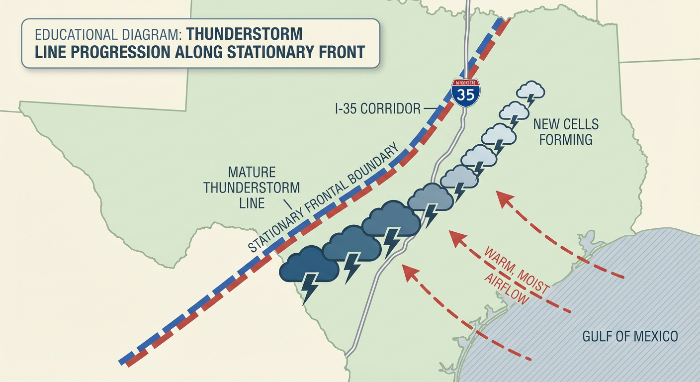
Because of this, 2 to 4 inches of rain could fall over the exact same spots in a short amount of time. If you are heading home from the Breakaway Music Festival in Dallas this weekend, or just commuting down I-35 on Monday morning, you need to watch for water on the roads.
Severe Storms Push North
The severe threat is not over yet. The Storm Prediction Center has a Slight Risk for severe weather on Sunday stretching from San Antonio all the way up through Oklahoma City and into Wichita, Kansas.
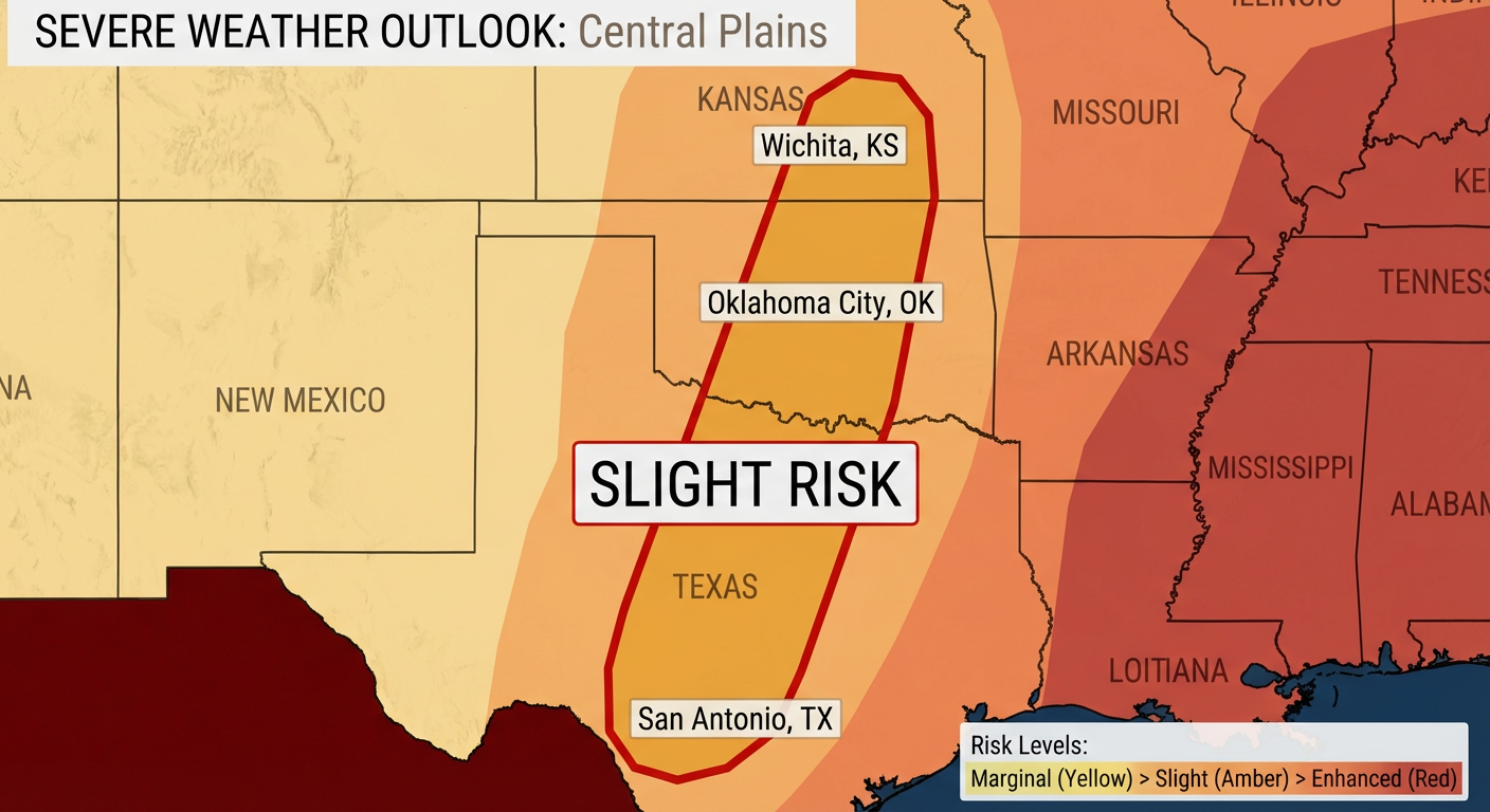
The main threats are going to be damaging wind gusts and large hail. An isolated tornado is possible, but wind and hail are the primary concerns. Temperatures ahead of this system are running warm. Dallas averages a high of 77 degrees this time of year, but we will see plenty of 80s fueling these storms across the region.
Meanwhile in the Mountains
We cannot ignore the West Coast today. That same massive trough of low pressure driving our Plains weather is bringing feet of snow to the Sierra Nevada. The Weather Prediction Center is calling for moderate to locally heavy snow to continue through Sunday. If you have travel plans over the mountain passes in California, you will want to check the road conditions before you head out.
Here are the key factors we are watching:
- How quickly the dryline stalls over Central Texas on Sunday.
- The exact placement of those backbuilding thunderstorms along the I-35 corridor.
- The potential for 70 mph wind gusts in the severe storms pushing through Oklahoma and Kansas.
Bottom Line: Keep the umbrella handy and the weather radio on if you live in the Southern Plains. If you encounter a flooded low water crossing this weekend, turn around. It is never worth the risk.
https://ryanhallyall.com/blog/the-texas-dryline-stalls-out-and-the-flood-threat-goes-up