Blog Article
Atlanta Flood Rescue Highlights Gulf Coast Rain Threat
A viral flash flood rescue in Atlanta serves as a warning for the Gulf Coast. See why continuous heavy rain threatens Texas, Louisiana, and Mississippi.
The Viral Atlanta Flood Rescue and the South's Stubborn Rain Threat
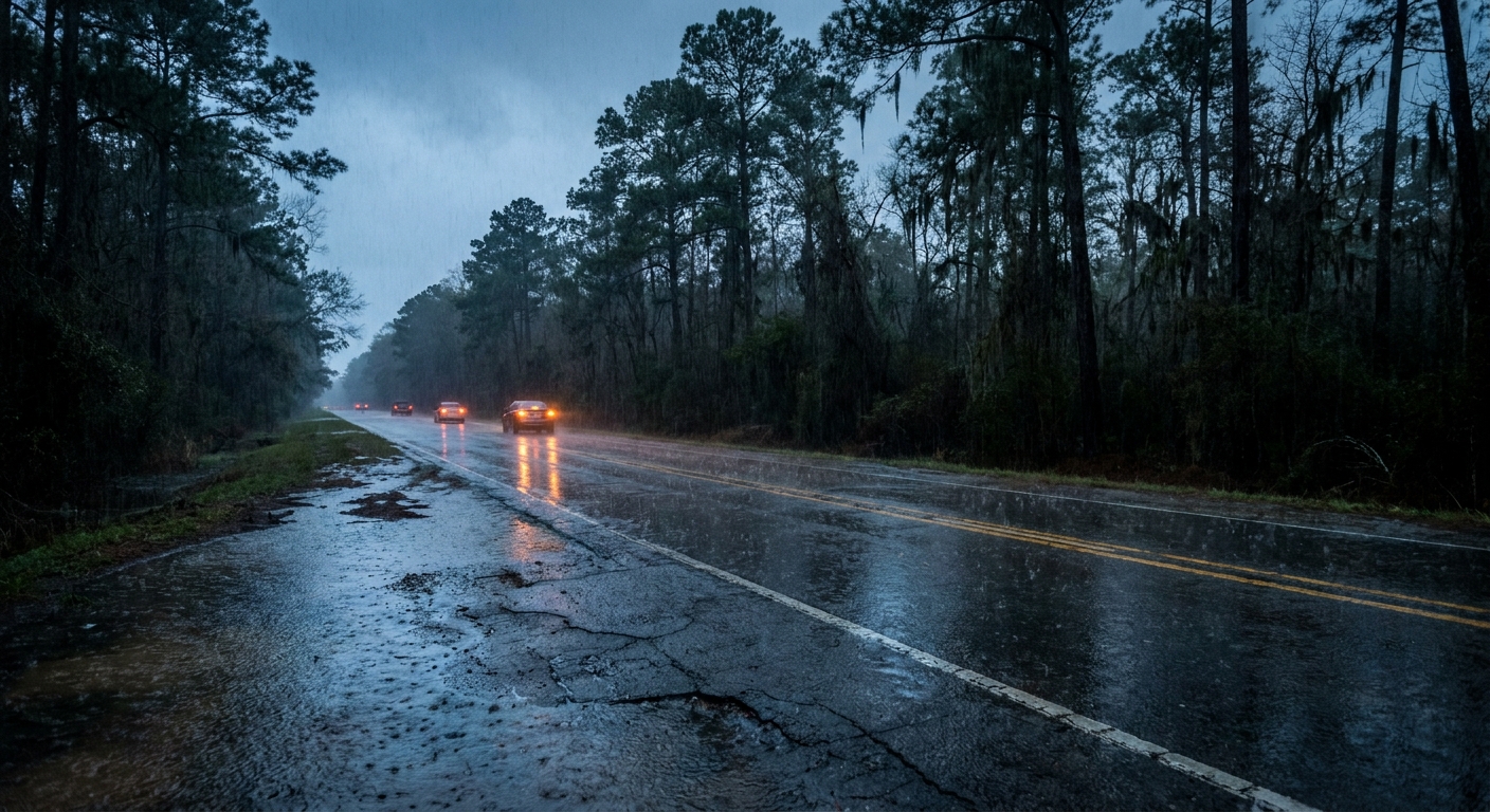
Get this, y'all. If you logged onto the internet today, you probably saw the video. A Georgia veteran waded into chest-deep water on the Downtown Connector in Atlanta to pull a stranded woman off the roof of her sinking car. That video has over 20,000 searches right now. It is wild to watch, but it is also a harsh reminder of exactly what we are dealing with across the South this weekend.
That kind of rapid water rise is not just an Atlanta problem today. We have a serious, prolonged flood setup parked right over the Gulf Coast. The Weather Prediction Center is keeping a Slight Risk for excessive rainfall locked in over southeastern Texas, southern Louisiana, and southern Mississippi through Monday.
The Atmospheric Water Pump
Here is why this setup is so stubborn. We have a closed low-pressure system spinning in the mid-levels of the atmosphere right over the upper Texas coast. It is barely moving. That low is acting like a giant water pump. It is pulling a continuous river of moisture straight out of the Gulf of Mexico.
Meteorologists measure this moisture transport using something called IVT. Right now, those IVT values are exceptionally high. Normal high temperatures for Houston and New Orleans this time of year sit right around 85 or 86 degrees. That warm, muggy air holds a massive amount of water. When these storm clusters train over the same areas, they drop rain at rates of two to two and a half inches per hour.
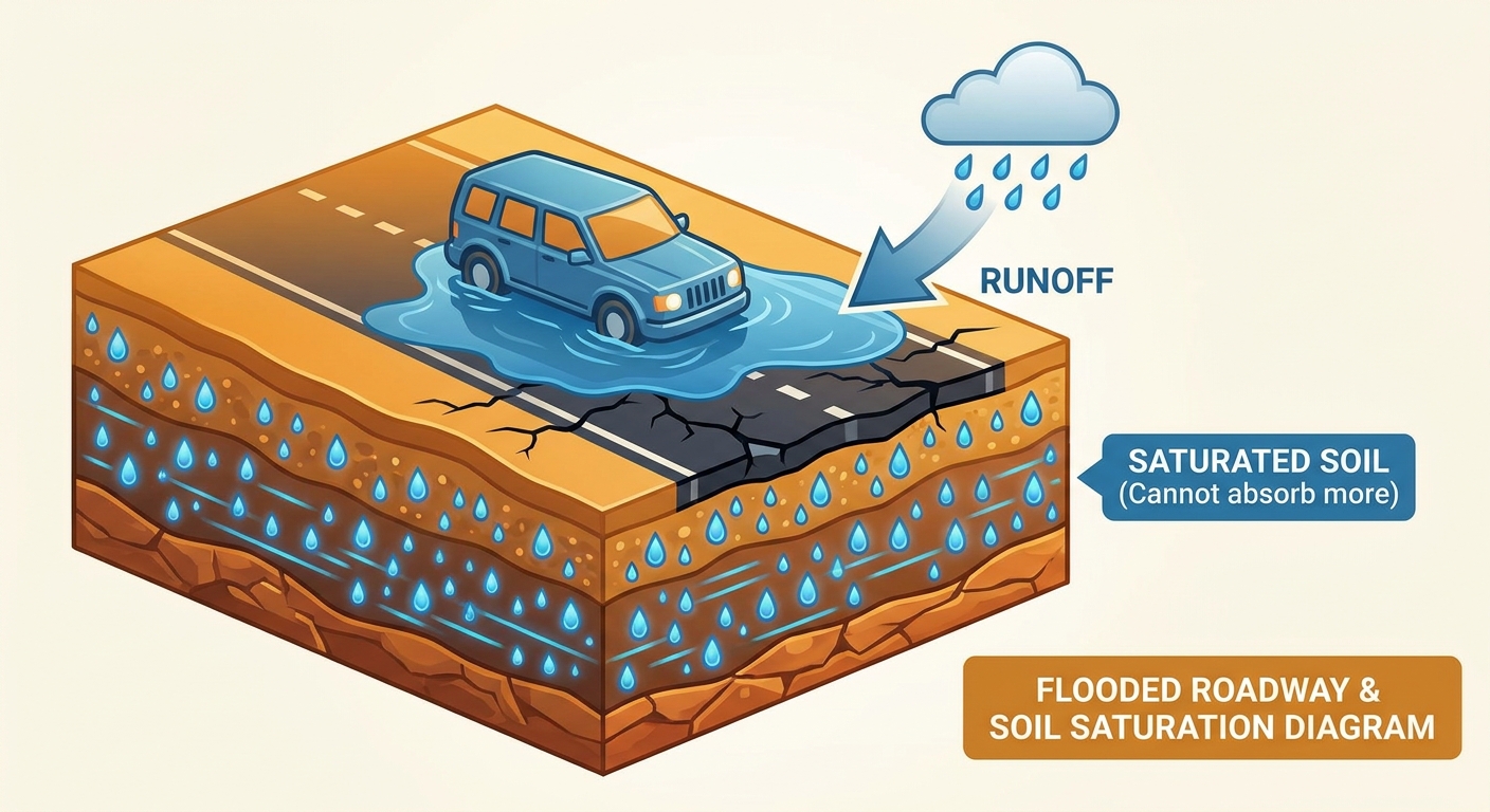
Saturated Ground and Travel Headaches
The ground simply cannot take anymore. Yesterday, parts of southern Alabama and Mississippi picked up six to ten inches of rain. The dirt is completely saturated. Any new rain that falls tonight and tomorrow will run straight off into streets, creeks, and bayous. That is exactly how you get the kind of flash flooding we saw on the interstate in Atlanta.
If you are traveling for the holiday weekend, you need to watch the roads carefully. Interstate 10 through Louisiana and Mississippi will see slick spots and reduced visibility.
And if your road trip takes you north into the Central Plains, you have a completely different headache. A Marginal Risk for severe storms is in place for Sunday across Nebraska, South Dakota, and Minnesota. Supercells up there could produce hail over two inches across. That is hen-egg size, and it will absolutely wreck a windshield if you get caught driving through it.
Water is heavy, and it moves fast. That veteran in Atlanta did an incredible thing, but nobody wants to end up on the roof of their sedan waiting for a rescue. If you see water covering the road tonight, turn the wheel and find another route.
https://ryanhallyall.com/blog/the-viral-atlanta-flood-rescue-and-the-souths-stubborn-rain-threat