Blog Article
Severe Weather and Flood Threats Target Plains and Texas
Viral flood videos are everywhere, and the threat isn't over. An Enhanced severe risk hits the Central Plains tonight, followed by Texas Coast flooding.
The Weekend Weather Crasher: Why Your Feed is Full of Flood Videos
Get this, y'all. If you opened any app on your phone today, you probably saw the videos. Cars pushing through two feet of water on the interstate near Reno. Entire neighborhoods looking like lakes down in Mississippi. It has been a heavy week for weather, and those clips are going viral for a reason.
When you see that much extreme weather on your screen, it feels like the whole map is falling apart. But here is the thing. The atmosphere is actually getting very organized tonight. We are tracking a massive complex of storms in the Central Plains and a renewed flood threat down in Texas that could easily produce the next batch of viral videos.
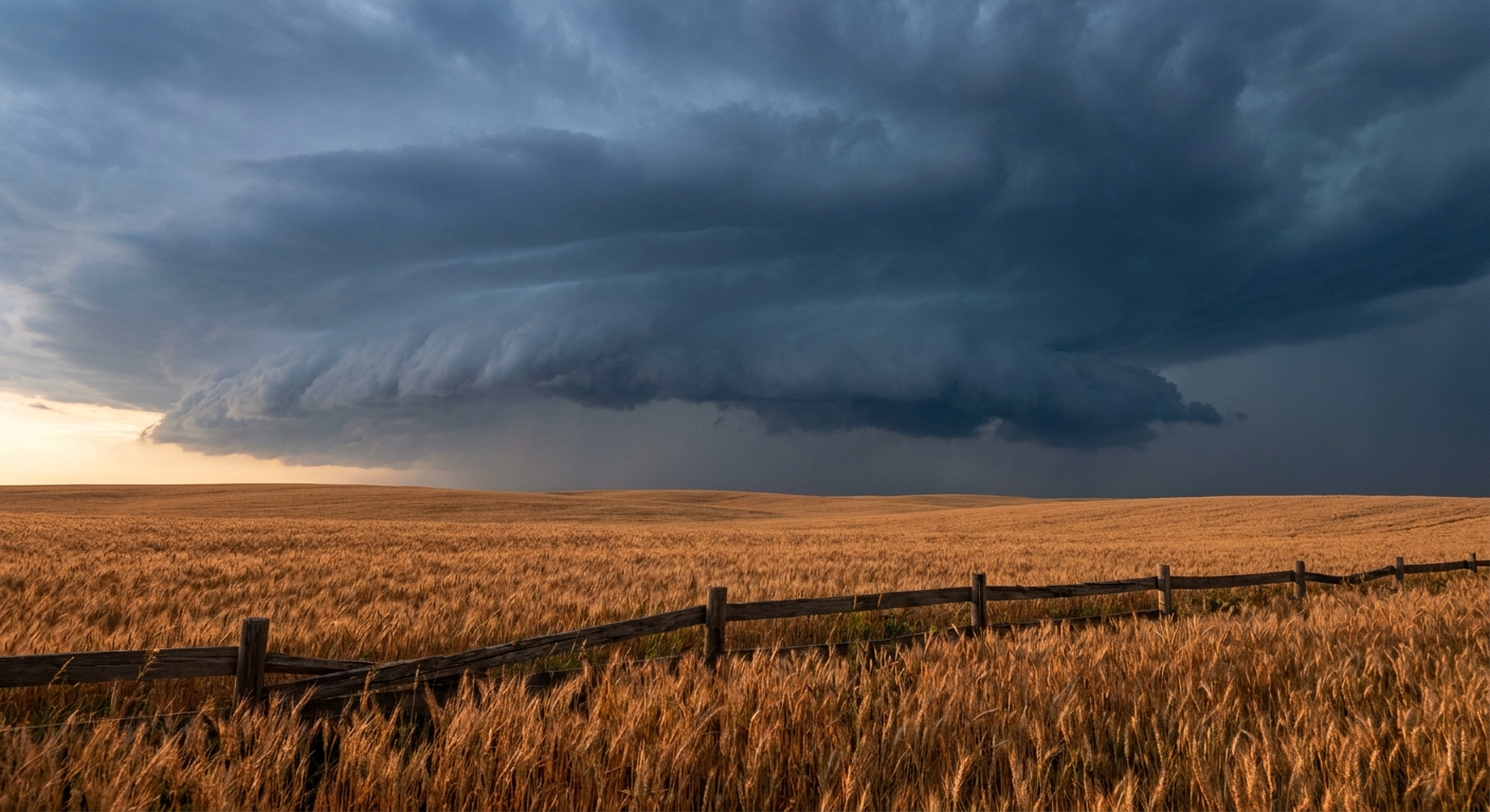
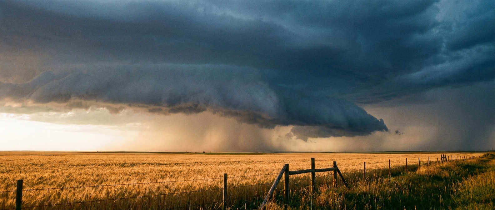
The Central Plains Wind Machine
If you live in eastern Colorado, Kansas, or Nebraska, your Saturday evening plans are on notice. We have an Enhanced Risk for severe storms right in the middle of the High Plains. Cities like Burlington and Wray in Colorado need to be paying attention.
We are expecting the development of an MCS. That stands for Mesoscale Convective System. Think of it as a giant, organized line of thunderstorms that feeds on warm summer air. It is the ultimate weekend party crasher.
The data shows a 30 percent probability for severe wind within 25 miles of a point. Inside that area, we have a hatched risk for significant gusts over 75 mph. That is enough wind to snap tree limbs, take down power lines, and turn patio furniture into projectiles.
We are also looking at a 30 percent hatched risk for hail. I am talking about hailstones two inches across. That is hen-egg size. If you have a car parked outside, get it under a roof before the sun goes down.
Water Fatigue Moves South
That same system bringing the wind is also going to dump an incredible amount of water. The Weather Prediction Center has a Moderate Risk for excessive rainfall across the Central Plains and Lower Missouri Valley tonight. A Moderate Risk means numerous instances of flash flooding are likely.
Then tomorrow, the water fatigue shifts south.
The Gulf Coast is already dealing with saturated ground. We just saw parts of Louisiana and Mississippi get over two feet of rain earlier this week. Now, the Weather Prediction Center has outlined another Moderate Risk for excessive rainfall from the Middle to Lower Texas Coast for Sunday.
The normal high for Dallas in late June is 92 degrees. Down in Houston, it is 91. The air is hot, and it is absolutely loaded with moisture from the Gulf of Mexico. When storms tap into that kind of humidity, they drop water incredibly fast. It will not take much to push those coastal urban areas past their breaking point.

If you are driving this weekend, remember that it is nearly impossible to judge water depth from the driver's seat. A few inches of moving water will take control of your vehicle.
Keep your phones charged tonight, especially in the Plains. Make sure your emergency alerts are turned on loud enough to wake you up.
https://ryanhallyall.com/blog/the-weekend-weather-crasher-why-your-feed-is-full-of-flood-videos