Blog Article
World Cup Final Weather: The Northeast Pattern to Watch
The World Cup Final hits New Jersey July 19 amid a soaked Northeast pattern. Here's the summer weather setup fueling flooding at Philly and beyond.
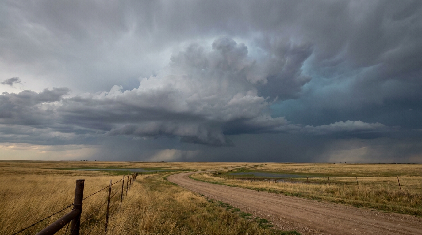
The World Cup Final Is Coming to Jersey. Here's the Weather Pattern to Watch.
Y'all, the whole planet is about to look at a stadium in East Rutherford, New Jersey. The FIFA World Cup Final lands there on July 19, and reigning champion Argentina is already back in the headlines after escaping Egypt in a wild one. Get this: over the next two weeks, the biggest sporting event on Earth wraps up about 15 miles from where Frankford Creek jumped six feet in 21 minutes this past Monday.
Same corner of the country. Same time of year. And the pattern that caused all that trouble hasn't packed up and left.
So let's talk about what these big outdoor events are actually up against in a Northeast July, and why the water keeps winning up there.
Why the Northeast Keeps Getting Soaked
Here's the thing. This month has been a broken record in the Mid-Atlantic and Northeast. Earlier in the week, Philadelphia flooded. New York City metro flooded. A hospital in Monmouth County, New Jersey took on water. And back on the Fourth, heat indices in the Northeast ran up to 114 to 120 degrees.
That combination, brutal heat plus repeated flooding, is not a coincidence. It's the signature of a warm, juicy summer airmass sitting over a densely populated region.
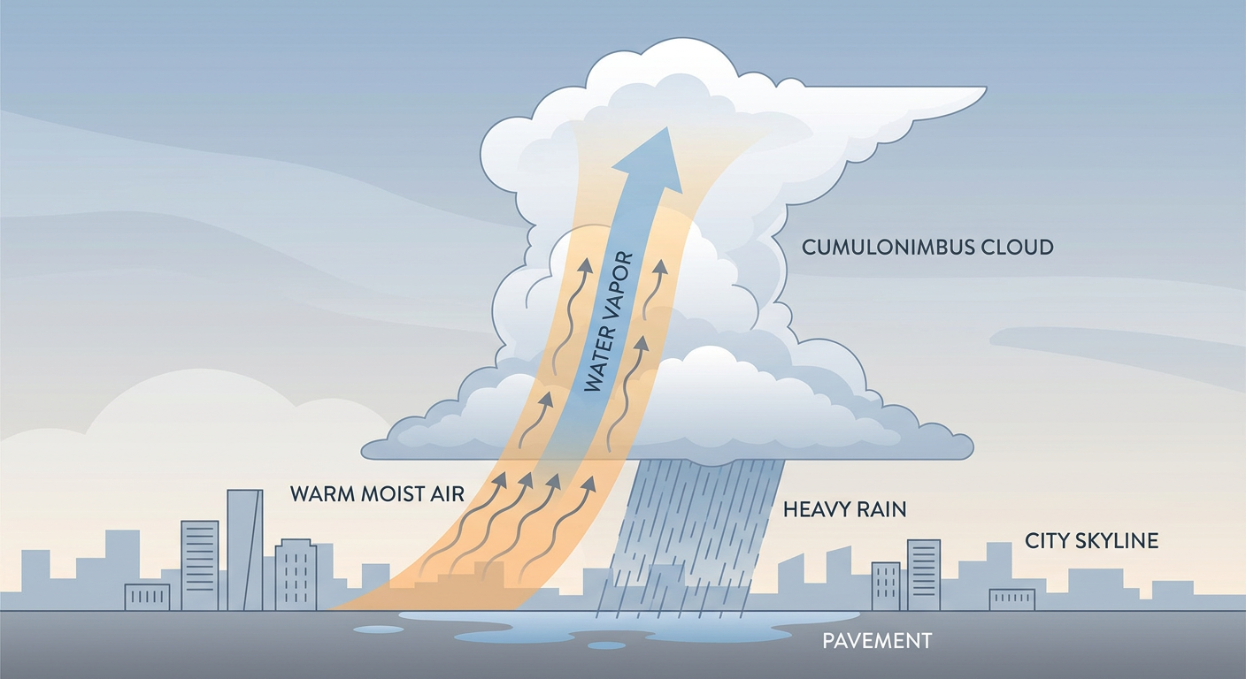
When the air is that warm, it holds a tremendous amount of water vapor. Meteorologists measure that with precipitable water, basically how much rain you'd get if you wrung out the whole column of atmosphere over your head. This week, values across the Mid-Atlantic ran over 1.75 inches, and locally over 2 inches. That is a loaded sponge sitting over the pavement.
All it takes then is a little lift. A weak front, a sea breeze, or just afternoon heating, and storms fire up. If they train, meaning cell after cell rolls over the same neighborhood like train cars on a track, you get exactly what Philly saw.
Where the Threat Sits Right Now
Here's the honest part, and I won't oversell it. As of tonight, the Northeast is not under a big severe weather headline for the next couple of days. The Storm Prediction Center has the main severe risk parked out west.
- A Slight Risk (that's level 2 of 5) runs from the northern High Plains into southern Minnesota tonight, with large hail and damaging wind gusts the main concerns. Minneapolis, Rapid City, and Billings are in that zone.
- A broad Marginal Risk (level 1 of 5) covers a huge chunk of the country, from Dallas and Fort Worth to Charlotte and Raleigh, mostly for isolated gusty storms.
Wednesday, that severe threat shifts and settles over the central Plains and Upper Midwest. Green Bay and eastern Colorado get a Slight Risk, and there's talk of an overnight complex of storms rolling through the Plains.
On the flooding side, the Weather Prediction Center has a Slight Risk of excessive rainfall Wednesday across the Upper Mississippi Valley and Upper Great Lakes, and it nudges into the Mid-Atlantic again. That's the part folks around MetLife should file away.
What This Means for the Big Events on the Calendar
July is stacked with outdoor moments in weather-prone country:
- FIFA World Cup Final, East Rutherford, NJ, July 19
- MLB All-Star Game, Philadelphia, PA, July 14
- EAA AirVenture Oshkosh, Oshkosh, WI, July 20
- Lollapalooza, Chicago, IL, July 30
Every one of those sits in a region that's already been dealing with either flooding, severe storms, or both this month. And every one of them shares the same summer reality: the threat isn't usually an all-day washout. It's the pop-up. The 4 p.m. cell that dumps an inch an hour on one section of a parking lot while the sun shines two towns over.
For a soccer final, that matters. FIFA has contingency plans and MetLife has drainage built for New Jersey summers. But fans arriving hours early, tailgating in lots, riding trains and buses into the Meadowlands, those are the folks who feel a training storm most. Same goes for the All-Star crowd walking into Philadelphia five days earlier.
Philadelphia's July normal high is 87 degrees, with a normal low near 69. When the dewpoint climbs into the low 70s on top of that, the air feels thick and the storm fuel is right there. That's the recipe we keep seeing.
The Takeaway
The World Cup Final is 12 days out, and no forecast reaches that far with any honesty. What I can tell you is the setup. The Northeast is stuck in a warm, moisture-rich summer pattern that has already flooded Philadelphia once this week, and events from the All-Star Game to the final are being staged right in the middle of it.
So if you've got tickets to any of these, plan for the pop-up. Check the radar the morning of. Know where you'd duck for cover in the parking lot. The odds of a clean, dry evening are decent, but in a July like this one, an inch of rain in an hour is never more than one lucky updraft away.