Blog Article
World Cup Travel & Texas Flooding: June 14 Evening Forecast
A tropical disturbance is bringing extreme rainfall and flight delays to South Texas, while severe wind threatens outdoor watch parties in the Northeast.
The World Cup Meets a Texas Deluge: Why Your Travel Plans Might Need a Sub
Y'all, it feels like the whole country is caught up in World Cup fever right now. Group F is trending, fan festivals are packed, and my social media feed is nothing but soccer. But if you're heading out to a watch party tonight or flying through Texas this week, we need to talk about the forecast. The atmosphere is setting up some pretty big roadblocks.
Wind Threat for the Northeast
Let's start up north. If you're heading out to the FIFA Fan Festival in Philadelphia tonight, you need to keep one eye on the sky. The Storm Prediction Center has a Level 2 out of 5 Slight Risk for severe storms covering a huge chunk of the Northeast and Mid-Atlantic.
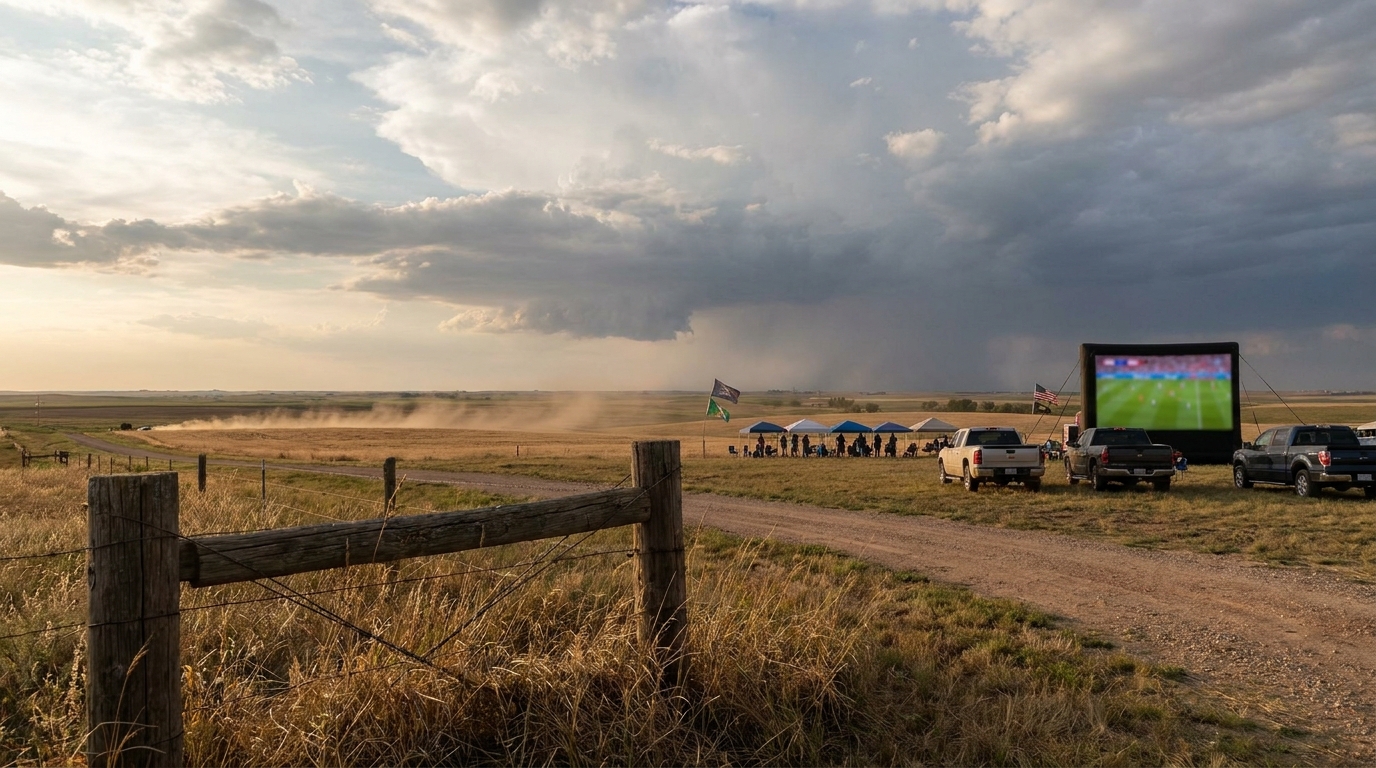
The main thing we're watching is the wind. There is a 30 percent chance of seeing damaging gusts of 60 mph or higher. That's the kind of wind that knocks over tents and turns umbrellas into kites. If severe storms form here, 60+ mph damaging gusts are possible right over those high-population I-95 corridors. So if you're watching the game outside in Philly, New York, or Baltimore, know where you can duck inside if a warning gets issued.
South Texas is Facing a Major Deluge
Now, let's talk about the big story. Down in South Texas, things are getting serious. The Weather Prediction Center just upgraded the area around Brownsville and Corpus Christi to a Moderate Risk for excessive rainfall for Monday and Tuesday.
Here's what's happening. We have a tropical disturbance drifting around the Gulf of Mexico. It only has a low 30 percent chance of actually developing into a named storm over the next week, but the name doesn't matter. What matters is the moisture it's dragging with it. We look at something called precipitable water, which basically measures how much liquid is sitting in the atmosphere ready to be wrung out like a sponge. Right now, those values are pushing 2.75 inches. That is exceptionally high.
When you have that much moisture and a slow-moving system, storms tend to train. That means they line up and dump heavy rain over the exact same spots, one after another. We're looking at the potential for 5 to 8 inches of rain. That is going to lead to significant, life-threatening urban and flash flooding.
The Ripple Effect on Travel
Houston and Dallas are both World Cup host cities, and their airports are going to feel the ripple effects of this tropical moisture. Even if the absolute worst rain stays south of Houston, the air traffic control flow is going to be a mess. Expect ground stops, delays, and a lot of frustrated travelers at the Texas hubs.
A normal June day in South Texas brings highs in the low 90s, but this week that heat gets traded for heavy tropical downpours and thick humidity. Keep your weather apps updated and double-check those flight statuses before you head to the airport. We'll keep watching the data and keep you posted.