Blog Article
Severe Storms Hit Plains on College Hoops Opening Night
An Enhanced Risk severe weather setup in Oklahoma and Kansas and a Moderate flood risk in Florida collide with college basketball's opening night schedule.
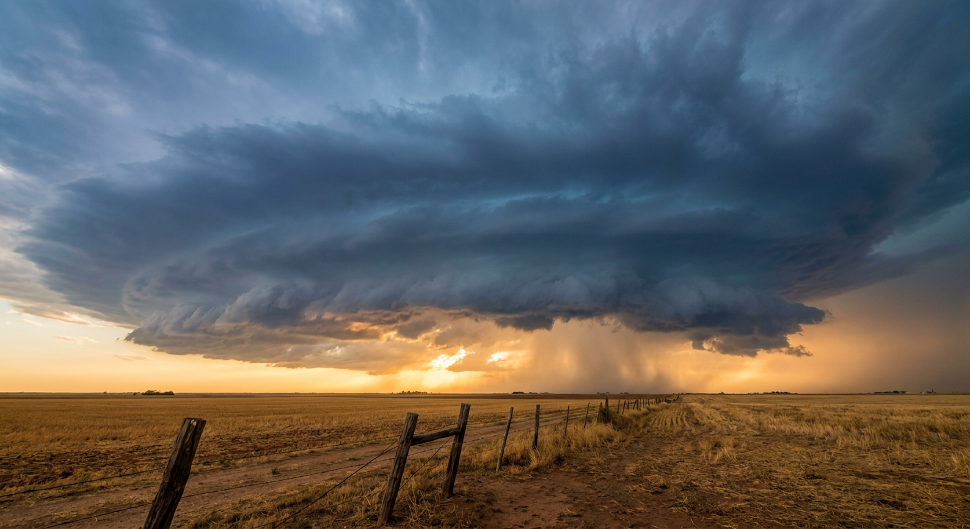
Tip-Off Night Meets Tornado Watch Season
Alright folks, it's a big night for hoops. Gonzaga and Purdue are tipping off a marquee opener, Michigan's rolling out a new roster with a chip on its shoulder, Indiana's hosting Eastern Illinois, and Louisville-Bellarmine is already putting up numbers. College basketball season is officially here.
But scroll down the schedule a little further and you'll find the games that actually matter for our purposes tonight: Hendrix at Central Arkansas in Conway, the Orion180 Tip-off Classic in Tampa, Hawaii traveling to Oregon, South Alabama at Akron. Fans are parking cars, grabbing tickets, and settling into seats across a map that happens to line up with some real weather this evening. Let's talk about it.
The Plains Are Under an Enhanced Risk Right Now
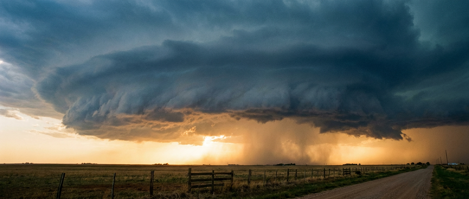
While folks in central Arkansas are filing into the gym tonight, the Storm Prediction Center has an Enhanced Risk of severe thunderstorms posted over north-central Oklahoma and south-central Kansas, specifically Oklahoma City, Enid, Stillwater, Arkansas City, and El Dorado. A Slight Risk fans out to cover Dallas, Fort Worth, Kansas City, Tulsa, and Wichita, and a Marginal Risk stretches as far as Arkansas, including Harrison and Mena.
Here's the ingredient list. A potent shortwave trough is taking on a negative tilt as it rides an associated jet streak eastward, and that's the kind of setup that turns a dryline into a storm-firing machine. SPC has the tornado threat at 10 percent in the highest category, with a hatched zone where any tornado that forms could reach EF2 strength or better. Wind damage potential sits at 15 percent with gusts possibly topping 75 mph inside that same hatched corridor, and quarter-size hail or bigger is in play too.
Translation for anyone headed to a game, a practice, or just driving home tonight in that stretch of Oklahoma and Kansas: this isn't a maybe-shower kind of evening. Have a way to get warnings, know where you'd shelter if you're at an arena or a parking lot, and don't treat a tornado watch like background noise.
Florida's Flood Story Isn't Over
Meanwhile in Tampa, fans are settling in for Florida-Miami and Florida State-Florida A&M under what should be a calm evening sky on the Gulf side. But flip to the other coast and the story's different. The Weather Prediction Center has a Moderate Risk of excessive rainfall posted for the corridor between Melbourne and Port St. Lucie, following 5 to 15 inches that already fell in a narrow band along the east-central coast. Another 2 to 4 inches is possible tonight, locally up to 8.
This is the same stretch that flooded homes in Palm Beach Gardens and West Palm Beach overnight, and the same general pattern that put water in buildings down in Okeechobee. If you're anywhere between Melbourne and the Treasure Coast, the ground is saturated and the rivers and canals don't have much room left. This isn't a new storm from nowhere, it's a continuation of what's been a rough stretch for Florida since the weekend.
A Pacific System Worth Watching, Not Worrying About Yet
Far out in the Pacific, well southeast of Hawaii, the National Hurricane Center has a broad area of low pressure that's likely to organize into a tropical depression sometime midweek. Development chances sit at 70 percent through the next seven days. It's not close to land and it's not a threat to anyone's Tuesday night, including the Hawaii squad playing in Eugene, Oregon right now. We'll keep an eye on it as the week goes, but there's nothing actionable here yet.
What This Means For Your Tuesday
If you're in Oklahoma or Kansas tonight, especially near OKC, Enid, Stillwater, Wichita, or Arkansas City, treat this like the real severe weather day it is. Storms should continue into tonight, and the setup supports a few tornadoes, damaging gusts, and large hail. If you're on Florida's east coast between Melbourne and Port St. Lucie, don't drive through standing water, and know that the ground simply can't absorb much more right now.
And if you're just trying to enjoy opening night of college basketball somewhere in between, you've got a front-row seat to a pretty good reminder: the same sky that's clear enough for a parking lot tailgate in one state can be loading up with 75 mph gusts two states over. Check the forecast before you check the bracket.
https://ryanhallyall.com/blog/tip-off-night-meets-tornado-watch-season