Blog Article
Severe Storms Target the Plains, Sunday Mid-Atlantic Risk
An Enhanced Risk of severe weather threatens Kansas and Missouri with 75 mph winds and large hail, while a Moderate flood risk targets the Ozarks.

Tracking 75 MPH Winds in the Plains and a Sunday Mid-Atlantic Threat
Alright y'all, it has been a long, exhausting week of weather. Just yesterday we saw a 96 mph wind gust recorded in the Oklahoma Panhandle, and we are not out of the woods yet. Today brings another significant setup for the central United States, and we have a lot of ground to cover.
As we discussed yesterday, the Houston Astros are in Kansas City tonight to play the Royals. If you are heading to Kauffman Stadium, or if you have outdoor plans anywhere from Wichita up through central Missouri, you need to keep a very close eye on the radar.
The Plains and the Ozarks
The Storm Prediction Center has an Enhanced Risk, which is a Level 3 out of 5, posted for eastern Kansas, northeastern Oklahoma, and western and central Missouri.
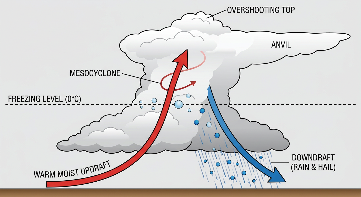
Here is the thing about today's setup. The SPC has "hatched" areas for all three severe hazards. That means the ingredients are there for higher-end impacts if storms get organized:
- Wind: A 30 percent chance of damaging winds, with a hatched area indicating gusts could exceed 75 mph. That is enough to knock down large trees and cause power outages.
- Hail: A 15 percent chance of severe hail, with a hatched area for hailstones up to 2 inches in diameter. That is hen-egg size, and it will easily dent vehicles.
- Tornadoes: A 5 percent chance of tornadoes, with a hatched area meaning any tornado that forms could reach EF2 or stronger.
Kansas City usually sees high temperatures around 84 degrees this time of year. Today, a very warm and juicy airmass is sitting ahead of a potent cold front. When those storms fire this afternoon and evening, they are going to have plenty of energy to work with.
We also need to talk about the water. The Weather Prediction Center shifted their Moderate Risk for excessive rainfall a bit south of Kansas City today. It now covers the southwestern Missouri Ozarks. The storms today are going to be efficient rainmakers, and they might train, which means they move over the same areas back-to-back. If you live in a low-lying area in the Ozarks, have a plan in case flash flood warnings are issued.
Sunday Shifts to the East Coast
By tomorrow, the main upper-level energy pivots east, and the severe threat moves right over the Mid-Atlantic.
The SPC has a Slight Risk, a Level 2 out of 5, stretching from New York City down through Philadelphia, Baltimore, Washington DC, and into Virginia Beach. The primary hazard here is going to be straight-line wind. The data shows a 30 percent probability for damaging wind gusts in this corridor.
If you are traveling along I-95 on Sunday afternoon, or heading to Queens to watch the Braves play the Mets, expect delays. These summer-like fronts can drop visibility to near zero in a matter of minutes and leave debris on the roadways.
Space Weather and the Tropics
I want to touch on two other quick items before we wrap up.
First, we are actively observing a G2, or Moderate, geomagnetic storm today. This is driven by a high-speed solar wind stream and a couple of coronal mass ejections that left the sun a few days ago. You might not notice it on the ground, but it is causing some high-level electron flux up in orbit.
Second, looking down at the Gulf of Mexico, there is a broad area of low pressure over the Bay of Campeche. The National Hurricane Center gives it a low 20 percent chance of development over the next couple of days before it moves inland over Mexico. Environmental conditions are just marginally favorable, so this is not something we are overly concerned about right now.
Bottom Line
If you are in the Enhanced Risk area today, especially around Kansas City, Wichita, or Springfield, do not ignore the warnings. Have your weather radio on, keep your phone charged, and know exactly where you will go if a 75 mph wind gust or a tornado approaches your location. For folks on the East Coast, enjoy your Saturday, but get ready for a bumpy Sunday afternoon.
I will be back tomorrow to update you on how things are progressing.
https://ryanhallyall.com/blog/tracking-75-mph-winds-in-the-plains-and-a-sunday-mid-atlantic-threat