Blog Article
Enhanced Severe Weather Risk for Texas and the Mid-South
Tracking an Enhanced severe weather risk for Dallas and Memphis today. Large hail, damaging winds, and flash flooding are the main threats. Get the details.
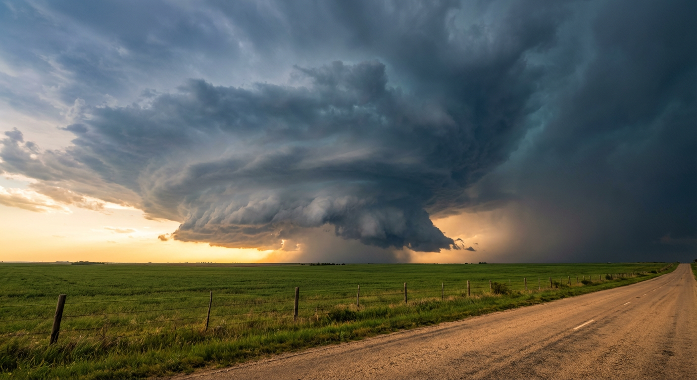
Tracking an Enhanced Severe Risk From Texas to the Mid-South
Alright y'all, yesterday was a long and destructive day across the Midwest. We saw everything from a highly dangerous tornado in Kansas to 80 mph wind gusts pushing through Illinois. Today, that entire storm system is sliding south and east. The Storm Prediction Center has placed an Enhanced Risk for severe weather right over northern Texas, stretching up into the lower Mississippi Valley.
Dallas normally tops out around 77 degrees in late April. Today, the warm and moist Gulf air is going to push temperatures up and create a highly unstable environment right over the Metroplex.
The Enhanced Risk Zone
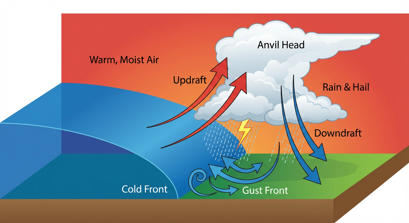
Dallas, Fort Worth, and Memphis are sitting right in the bullseye today. We are looking at a level 3 out of 5 risk. The atmosphere is still incredibly juicy. Outflow boundaries from yesterday's storms are acting like a spark for new convective development this afternoon.
Here is what you need to watch for today:
- Very Large Hail: This is a significant threat today. We have a 30 percent hatched area for severe hail, meaning stones over two inches in diameter are absolutely possible.
- Damaging Winds: As storms cluster together, the threat for straight-line wind gusts up to 70 mph will increase.
- Tornadoes: The tornado threat is not as high as yesterday, but a 5 percent probability zone exists. A few isolated tornadoes could spin up, especially early in the storm lifecycle.
If you are heading out to Arlington to watch the Rangers play the Yankees tonight, be glad they have a roof on that stadium. But your drive there could be bumpy. Keep your head on a swivel during the late afternoon and evening commute.
Heavy Rain and Flash Flooding
It is not just the wind and hail we are tracking. The Weather Prediction Center has a Slight Risk for excessive rainfall posted for the ArkLaTex region up into the Mid-South.
We have a boundary stalled out west to east. Storms are going to train over the same areas, dumping heavy rain repeatedly. That means water will pile up fast on the roadways. If you encounter a flooded road, turn around. It is never worth the risk to drive through it.
Fire and Ice
Get this. While Texas and Arkansas deal with severe storms and flooding, the Texas Panhandle and eastern New Mexico are bone dry. We have a Critical Fire Weather area posted out west. Downslope winds are going to mix with very dry air. That makes it incredibly easy for wildfires to start and spread rapidly.
And if you look ahead to the weekend, we are tracking a 15 percent chance of accumulating snow in the central High Plains around Pueblo, Colorado. Spring weather is wild, folks.
Bottom Line
Have your weather radio on. Make sure your phone alerts are loud and not on silent. If you live in Dallas, Memphis, or anywhere in that Enhanced Risk zone, know exactly where your safe space is before the first drop of rain falls. Have a plan, and be ready to execute it.
https://ryanhallyall.com/blog/tracking-an-enhanced-severe-risk-from-texas-to-the-mid-south