Blog Article
Flood Roads, Election Day, and Tonight's Southeast Storm Risk
Navajo voters used tractors to reach the polls after historic Four Corners flooding. Tonight that same storm track brings a marginal risk to the Southeast.
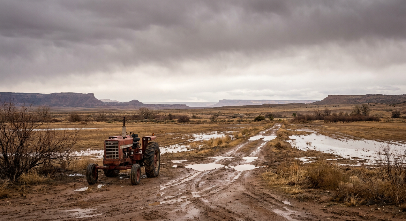
Tractors to the Polls: What This Week's Floodwater Taught Us About Getting Where We Need to Go
Alright folks, let's start with the story that stopped me cold this week. Navajo voters out in the Four Corners region climbed up on tractors to get to the polls. Not because they were making a statement. Because the roads were gone. Highway 151 between Chimney Rock and the old mine site in Colorado had literally collapsed under rushing floodwater back on November 1st. The Gila River hit major flood stage at 26 feet near Solomon, Arizona. The La Plata River pushed into houses in New Mexico. When your bridge is washed out and your truck can't make the crossing, you find another way. Turns out a tractor can ford what a sedan can't.
That's not a weather footnote. That's the whole story of why I do this job.
How We Got Here
This didn't come out of nowhere. We've been tracking an atmospheric river parked over the Desert Southwest and Four Corners basin since the first of the month. Oak Creek near Cornville, Arizona hit a stage of 19.56 feet, breaking a record that had stood since 1993. The San Juan and Animas rivers in New Mexico stayed above flood stage for days, with a swift water rescue off Murray Bridge as recently as Tuesday. Roads don't just get wet in an event like that. They get undermined, washed out, closed for days while engineers figure out if they're safe to drive again.
So when Election Day rolled around this week, some voters in that region were working with a transportation map that didn't look anything like it did a month ago. The tractor wasn't a gimmick. It was infrastructure, built from whatever people had on hand.
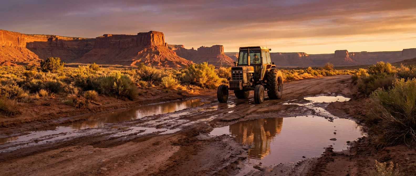
Tonight's Weather Is a Much Quieter Chapter, But the Same Front Did Both
Here's the thread that connects all of this. The broader pattern that soaked the Southwest also fed the system that rolled a squall line across Oklahoma, Texas, Arkansas, and Louisiana yesterday, with radar-confirmed tornadoes near Adair and Talala, Oklahoma, and tornado warnings stretching into the Ark-La-Tex. That same cold front has kept marching east. Tonight it's sitting over the Southeast, and the Storm Prediction Center has a Marginal Risk up for Atlanta, Birmingham, Huntsville, Knoxville, and Chattanooga. That's the lowest rung on SPC's ladder. We're talking a 2 percent tornado chance and a 5 percent chance of damaging wind gusts if storms do fire. Isolated, not widespread. But it's real, and it's happening while people are out living their lives.
And people are out tonight. There's a concert in Port Wentworth, Georgia, with Motionless in White and Dayseeker. Western Kentucky's women's basketball team is hosting Chattanooga in Bowling Green. None of that gets canceled over a Marginal Risk, and it shouldn't. But if you're at that show or that game and you hear thunder rumbling outside, that's the same frontal boundary that spent two days producing tornado warnings across four states. It's weaker now. It's not nothing.
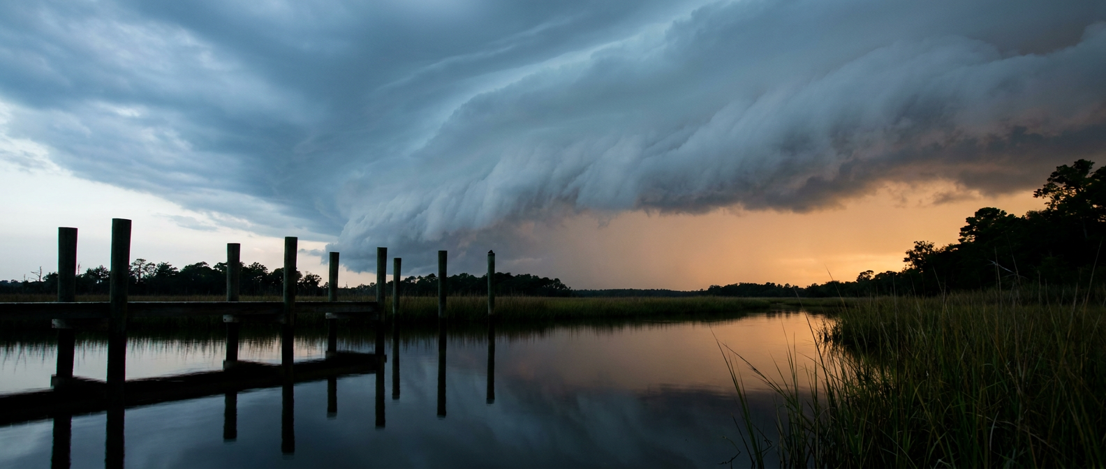
There's also a Marginal excessive rainfall risk tonight into Wednesday morning for southeast Florida and again for the Ohio and Tennessee Valleys and the southern Appalachians, right where that same front is wringing out the last of its moisture over Knoxville and Chattanooga. Nothing like the 13 inches that fell near Palm Bay, Florida earlier this month. Just a reminder that this pattern has had a long memory in 2026.
Checking the Thermometer Against Normal
First week of November, and the numbers are running close to where they should be. Atlanta's average high this time of year sits at 63, Birmingham at 64, Nashville at 60. Behind this front, expect temperatures in that neighborhood, maybe a touch below once the rain clears out and skies open up tomorrow. Nothing dramatic on the thermometer. The story tonight is moisture and lift, not heat.
The Takeaway
Weather doesn't check anybody's calendar. It doesn't care that it's Election Day, or that there's a concert in Port Wentworth, or that a ballgame's tipping off in Bowling Green. What it does is force people to adapt, whether that's a tractor crossing a washed-out road in the Four Corners or a concertgoer checking the radar before they leave the house tonight. The Marginal Risk across the Southeast tonight is a small thing by comparison. But it's cut from the same cloth as the storm that reshaped roads a thousand miles west three weeks ago. Keep an eye on the sky. Keep your plans. Just know which one might need to change first.