Blog Article
MLB Trade Deadline Meets Ozark Storm Risk Tonight
Trade deadline drama in baseball meets real storm drama over the Ozarks tonight, plus a split-screen weather story in Washington state between Seafair and dangerous fire weather.
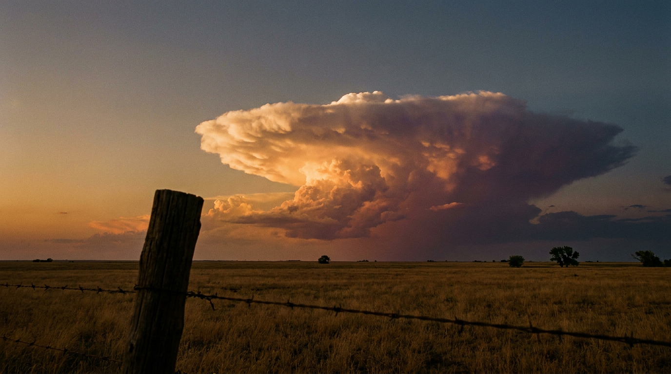
Trade Deadline Chaos Meets Ozark Storms: Two Kinds of Drama Tonight
Alright folks, today's a big one if you follow baseball. It's MLB trade deadline day, and by the time first pitch happens in half a dozen ballparks tonight, rosters are gonna look different than they did this morning. Phones are buzzing in front offices from Chicago to Atlanta. But here's the thing, y'all. There's another group of people staring at screens just as hard tonight, and they're not trading outfielders. They're the meteorologists at the Storm Prediction Center, watching a slight risk of severe weather set up right over the middle Mississippi Valley.
The Real Action Is Over the Ozarks Tonight
While fans in Chicago, Cincinnati, Baltimore, Cleveland, Atlanta, and Queens settle in for tonight's slate, the storm threat is centered a little further west and south. SPC has a Slight Risk out for the middle Mississippi Valley and the southern High Plains, covering Lubbock, Columbia, Springfield (Illinois), Jonesboro, and Cape Girardeau. That's about 5.6 million people in the bullseye for this evening.
Here's what the numbers actually mean:
- Wind: 15%, Level 2. If storms fire up here, scattered 60+ mph gusts are on the table.
- Tornado: 5%, Level 2. A few tornadoes are possible, mainly isolated.
- Hail: 5%, Level 1. Quarter-size hail or bigger, isolated.
A broader Marginal Risk stretches out to Oklahoma City, Colorado Springs, Little Rock, and Amarillo, covering almost 14.6 million more folks. Nothing here screams outbreak, but it's enough that if you're outside in that corridor tonight, keep an eye on the radar between innings, or between whatever you're doing.
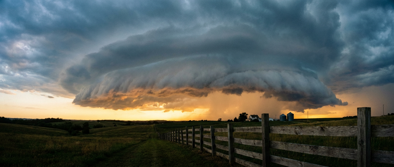
Tomorrow, the Threat Trades Cities Too
Just like a ballplayer getting dealt across the country, this storm threat is on the move. Saturday's Day 2 outlook shifts the Slight Risk east into Kentucky, Middle Tennessee, and northern Alabama, catching Lexington, Huntsville, Chattanooga, Athens, and Decatur. About 5.1 million people sit under that zone. A Marginal Risk fans out even wider, reaching Indianapolis, Nashville, Louisville, El Paso, and Albuquerque.
The main worry Saturday is damaging wind again, with a 15% Level 2 probability, and it's a widely scattered setup rather than a line marching through everybody at once. Tornado chances drop to 2%, Level 1, isolated at best.
Rain Piling on Top of an Already Soggy Month
Here's where this ties back to a pattern we've been tracking all July. WPC has a Slight Risk of excessive rainfall today across the mid to upper Mississippi Valley and the Upper Peninsula of Michigan, with precipitable water values running 2 or more standard deviations above normal for late July. That same corridor carries the risk into Saturday, pushing into the Ohio and Tennessee Valleys.
This month has already delivered 13.5 inches of rain in 24 hours near Polk City, Iowa, a Particularly Dangerous Situation flash flood emergency in Missouri, and just this week, 7.68 inches measured in Niskayuna, New York. The ground in a lot of these spots doesn't have much room left to absorb more. When training thunderstorms set up over saturated soil, flash flooding doesn't need a lot of extra rain to get dangerous.
Two Different Washingtons
Now let's swing out to the coast, because there's a split-screen story happening in Washington state. Seafair Weekend Festival is underway in Seattle, and travel conditions across much of the West Coast look favorable today. Hydroplane races, air show practice, crowds on the water. Good day for it.
But drive about 200 miles east, and the story flips hard. SPC has flagged an Extremely Critical fire weather area for Saturday across the Columbia Basin in central and southeastern Washington and northern Oregon, hitting Yakima, Kennewick, Richland, Pasco, and Walla Walla. We're talking sustained winds of 20 to 30 mph, gusts to 45 or 50 mph, relative humidity as low as 5 to 15%, and energy release components above the 95th percentile, all near ongoing wildfires. A Critical designation extends further into eastern Oregon, the Idaho Panhandle, and northwest Montana too.
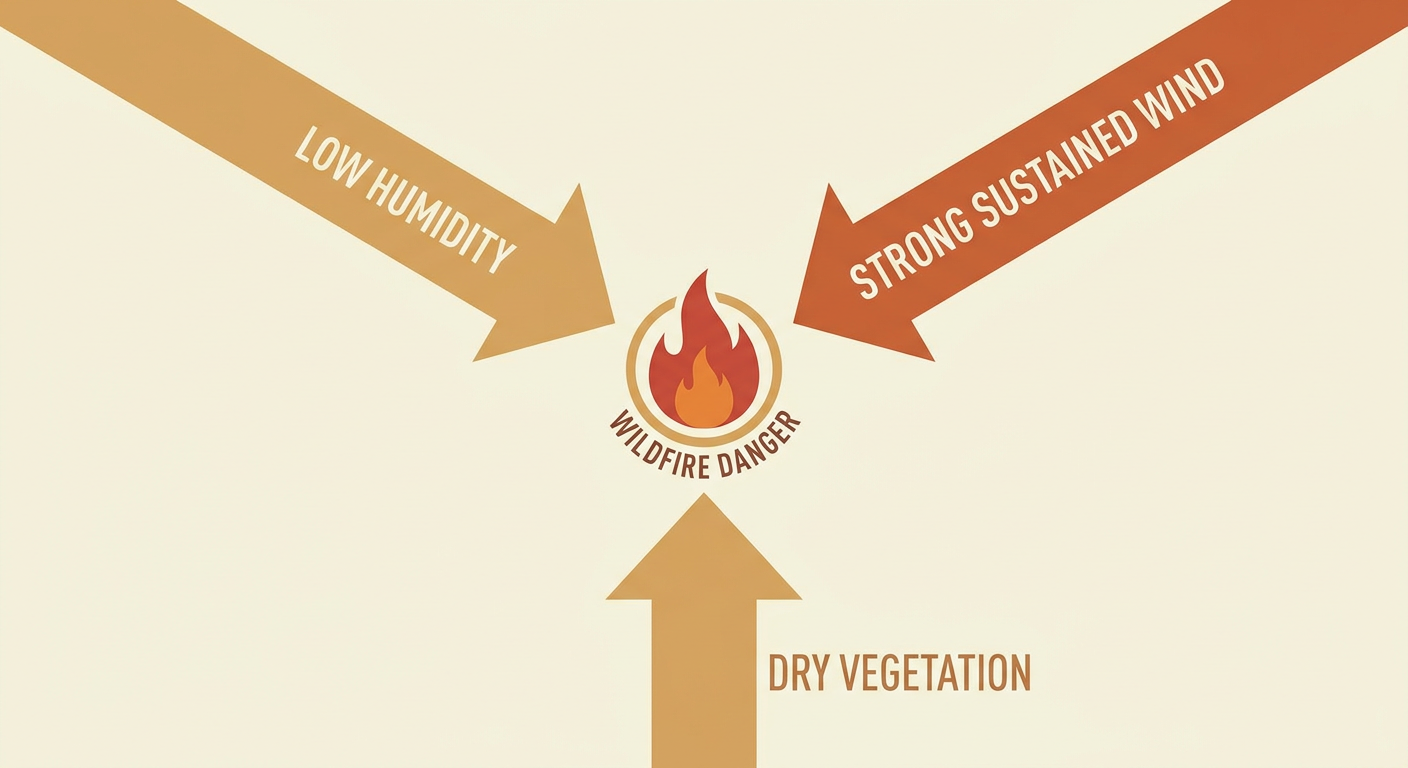
Same state, same weekend, two completely different weather stories. One side's watching hydroplanes. The other's watching for smoke columns.
The Takeaway
Baseball's front offices will finish their business by tonight's deadline, trades done, rosters locked. The atmosphere doesn't work on a deadline like that. The storm risk over the Ozarks tonight rolls into the Ohio Valley tomorrow, the rain threat keeps stacking on ground that's already had a rough July, and out in Washington, a calm festival weekend in Seattle sits right next to one of the more dangerous fire weather setups we've seen this summer. Whatever you've got planned this weekend, check the local outlook for where you actually are, not just where the big story's happening.
https://ryanhallyall.com/blog/trade-deadline-chaos-meets-ozark-storms-two-kinds-of-drama-tonight