Blog Article
Texas Flood Risk & Rockies Snowstorm: April 29 Forecast
Severe weather shifts to a heavy rain and flood risk for Central Texas, while the Colorado Rockies prepare for up to 20 inches of late-season snow.

Trading Hail for High Water in Texas, Plus a Rocky Mountain Snowstorm
Yesterday was a long one. We saw that Moderate Risk verify with some truly massive hail down in Texas. A spotter near Godley measured a stone at four and a half inches. That is bigger than a softball, folks. We also had tornadoes tear through parts of Kentucky and Arkansas. Today, the atmosphere is finally taking a breath on the severe side. But we are trading the giant hail threat for a heavy rain setup in Texas, and getting a massive late-season snowstorm in the Rockies.
The Texas Flood Threat
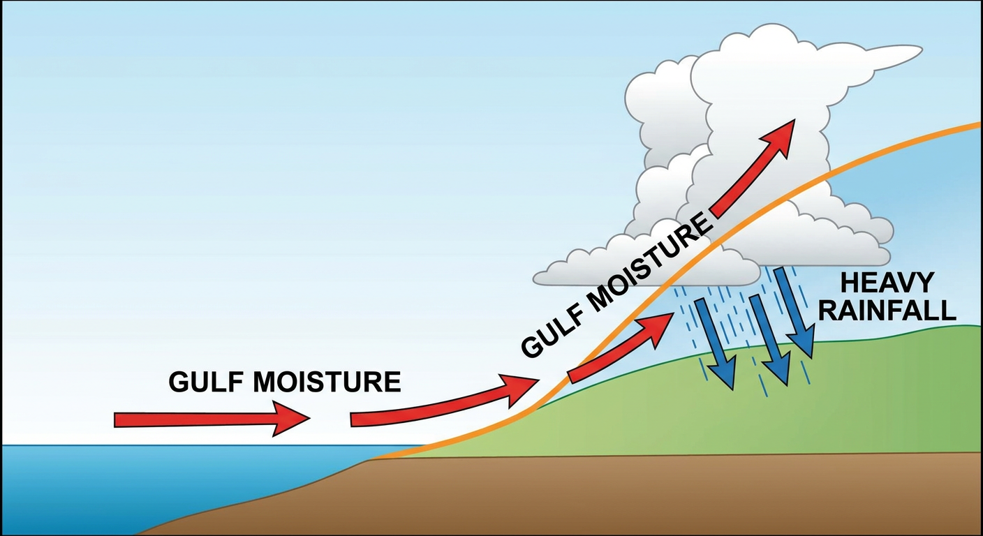
Let us talk about Texas first. A subtropical disturbance is moving across northern Mexico toward the Big Bend. It is pulling a deep plume of moisture right off the Gulf of Mexico. The Weather Prediction Center has a Slight Risk for Excessive Rainfall posted for Central Texas starting Thursday and continuing into Friday.
We are looking at precipitable water values around 1.8 inches. That means the atmosphere is absolutely soaked for late April. When these storms fire, they are going to dump water fast. The ground is already saturated in a lot of these areas from the storms earlier this week.
If you are heading to the iHeartCountry Festival in Austin this weekend, pack the rain boots. You will need them. Normal highs around San Antonio and Austin are in the low 80s right now, but this rain is going to keep things muggy and messy.
Winter's Last Gasp in the Rockies
Now, get this. While Texas deals with a deluge, the Central Rockies are staring down a major winter storm. The Weather Prediction Center has a Slight Risk for significant winter weather posted for Thursday into Friday.
We are talking 10 to 20 inches of heavy, wet snow for the higher elevations. The Sangre de Cristo Mountains in northern New Mexico and the Colorado Front Range are going to take the brunt of it. Even the lower elevations could see 6 to 12 inches.
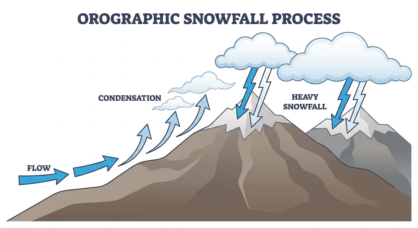
Denver normally sees highs in the low 60s in late April. This is a classic late-season setup where cold upslope flow just wrings every drop of moisture out of the air as snow. If you are driving the I-70 mountain corridor on Thursday, expect serious delays and hazardous conditions.
The Severe Threat Steps Back
What about the severe threat? It is stepping down. The Storm Prediction Center has a Marginal Risk for today stretching from Houston and Dallas across the Gulf Coast states, and another Marginal area up in the central Appalachians. The main threats are isolated damaging wind gusts and some hail.
Tomorrow, the Marginal Risk shrinks down to the Texas Big Bend area near Del Rio. It is a "keep an eye on the sky" kind of setup, not a reason to cancel your Wednesday plans.
Bottom Line
If you live in Central Texas, make sure your weather radio is on and avoid low water crossings Thursday and Friday. If you are in the Colorado or New Mexico mountains, get your winter driving gear back out of the closet. The transition from April to May is always a wild ride, and this week is proving it.
https://ryanhallyall.com/blog/trading-hail-for-high-water-in-texas-plus-a-rocky-mountain-snowstorm