Blog Article
Texas Flood Threat & Building Plains Severe Weather Setup
A cutoff low brings a multi-day flood threat to Texas while a new severe weather setup targets the Central Plains for Thursday and Friday. Read the forecast.
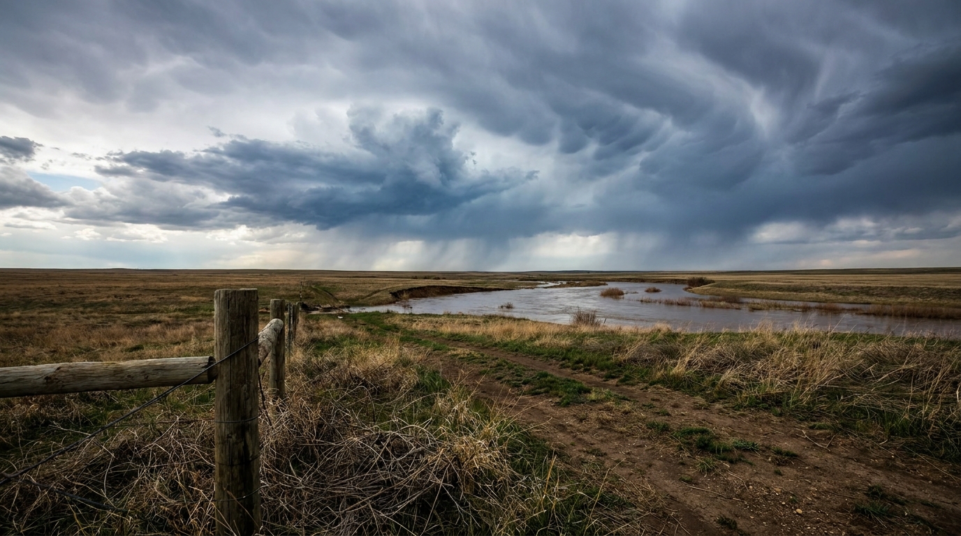
Training Storms Target Texas While the Plains Prep for a Severe Setup
Alright y'all, that Pacific cutoff low we talked about yesterday is officially moving inland today. While California is dealing with heavy mountain snow and coastal rain, I am keeping a very close eye on what is happening down in Texas.
We have a classic Gulf moisture setup right now. The onshore flow is pumping deep, juicy air right into the Lone Star State, and it is going to sit there for a few days.
The Texas Flood Threat
The Weather Prediction Center has placed parts of South-Central and Southeast Texas under a Marginal Risk for excessive rainfall today, tomorrow, and Wednesday. A Marginal Risk means there is at least a 5 percent chance that rain rates will exceed flash flood guidance.
Here is the thing about this setup. We are looking at the potential for training thunderstorms. That happens when storms line up and move over the exact same area, back to back, like train cars rolling down a track.
Down in Houston, the local forecast office is warning that these storms could drop 2 to 3 inches of rain per hour. The ground is already saturated from previous heavy rain. If you get a training storm over a concrete-heavy area like Houston or San Antonio, water is going to pool up fast.
If you are heading out to the San Antonio River Parade, the forecast is calling for light showers and chilly temperatures. Normal highs for San Antonio this time of year are in the low 80s, but the rain and cloud cover will keep things much cooler. Grab a jacket and an umbrella.
Building Plains Severe Threat
While Texas deals with the rain, we have a multi-day severe weather threat building for the Central and Southern Plains later this week.
A long-wave trough is going to dig into the western United States and persist through the week. By Thursday, a piece of energy will rotate around that low and eject into the Plains.
The Storm Prediction Center has already highlighted a 15 percent probability area for severe weather on Thursday. This covers over 10 million people from Oklahoma City up through Kansas City and Omaha. On Friday, that threat shifts south and east, covering the Dallas metroplex and stretching into Little Rock.
This is a classic spring setup. We will have strong wind shear combining with returning Gulf moisture. The main threats will likely be large hail and damaging winds, but we will need to watch the tornado potential as the finer details come into focus over the next couple of days.
Fire and Ice
We cannot ignore the extremes happening on the edges of the country.
Down in Florida and southern Georgia, we have critical fire weather conditions. The local office in Tallahassee notes that fuels are at the 95th percentile, which is a fancy way of saying the brush is record-dry. Combined with low humidity and breezy easterly winds, any spark will spread rapidly. Red Flag Warnings are in effect.
Meanwhile, winter is not done with the Rockies. By the weekend, that same western trough is going to drag an unseasonably cold airmass into the Northern and Central Rockies. Denver usually sees highs in the low 60s in late April, but they are in the crosshairs for late-season accumulating snow by Days 6 and 7 of the outlook.
Key Factors to Watch
- Rain rates in Texas: We are watching for 2 to 3 inch per hour downpours in the Houston and Galveston areas through Wednesday.
- Sierra Nevada snow: Snow levels are dropping to 4,500 feet, with 1 to 2 feet of accumulation expected in the high terrain.
- Thursday and Friday severe threat: Have a plan ready if you live along the I-35 corridor from Omaha down to Dallas.
- Florida fire danger: Absolutely no outdoor burning in the Florida peninsula or southern Georgia.
Bottom Line
If you live in Southeast Texas, you need to be hyper-aware of water on the roads during your commute over the next three days. Turn around if you see a flooded intersection. For folks in the Central and Southern Plains, now is the time to check your weather radio batteries and make sure your phone alerts are turned on ahead of Thursday's severe potential. I will update you on the exact timing and impacts of that Plains system tomorrow.
https://ryanhallyall.com/blog/training-storms-target-texas-while-the-plains-prep-for-a-severe-setup