Blog Article
TD Two Threatens Gulf Coast as Severe Storms Hit Midwest
Tropical Depression Two nears tropical storm strength with a Gulf Coast landfall threat, while Enhanced Risk severe storms hit the Midwest and Mid-Atlantic.
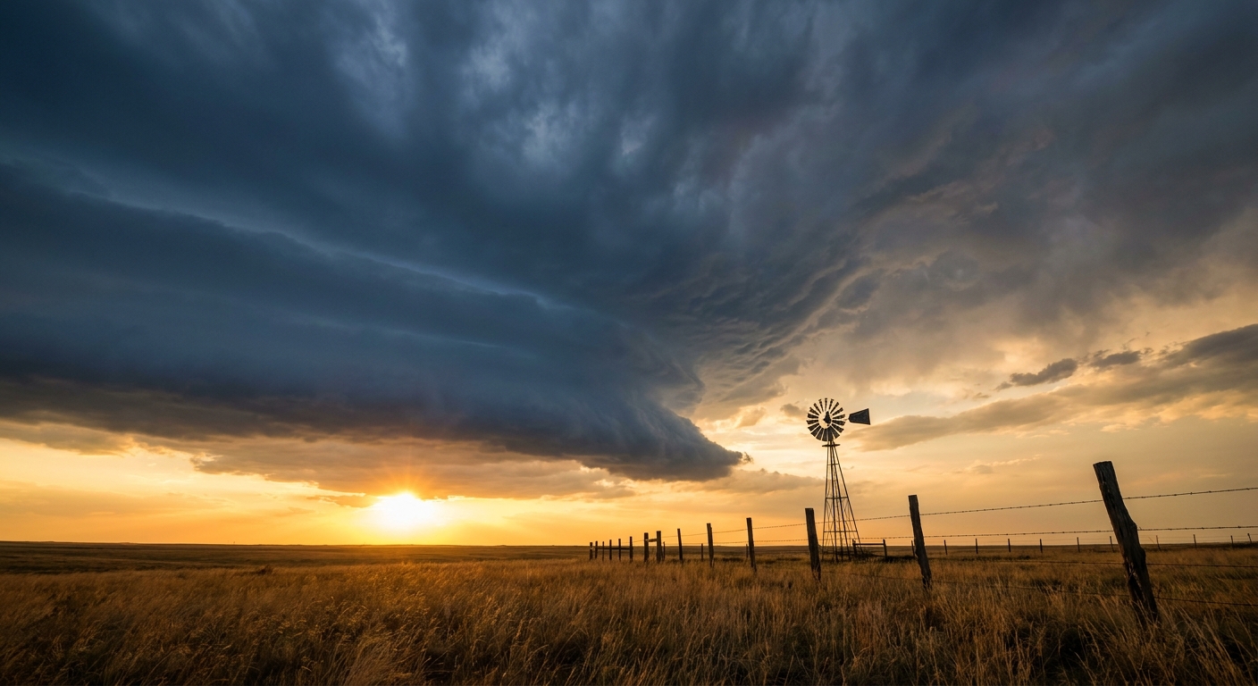
Tropical Depression Two Takes Aim at the Gulf Coast While Severe Storms Roll Through the Midwest and Mid-Atlantic
Alright y'all, we've got a lot on the plate this Monday morning. The Gulf has a system that's about to level up, and two straight days of organized severe weather are lined up from the Upper Midwest into the Mid-Atlantic. Let's get into what actually matters today and what's coming down the pike.
Tropical Depression Two: Getting Its Act Together
Tropical Depression Two sat about 120 miles south of Panama City, Florida as of the 4 AM advisory, drifting northwest at a crawl, just 3 mph. That slow movement isn't an accident of the data, it's a real feature of this system right now, and it matters for how much rain some spots could end up with.
Here's the thing about TD Two. Satellite imagery has looked kind of unimpressive, just a few bursts of convection wrapping around the center. But an Air Force Reserve recon plane has been flying through it this morning, and the numbers tell a different story than the satellite picture. Pressure keeps dropping, and flight-level winds have topped out around 38 knots. NHC has this depression becoming a tropical storm later today. Once that happens, it'll get the name Two on the books, though we don't have a name from the list confirmed here yet.
A Tropical Storm Watch has been extended all the way to the Mississippi/Alabama border, on top of Florida Panhandle coverage that was already up. The forecast track has this system moving toward the northern Gulf coast, with a projected approach near New Orleans roughly 58 hours out, putting a possible landfall window late Wednesday.
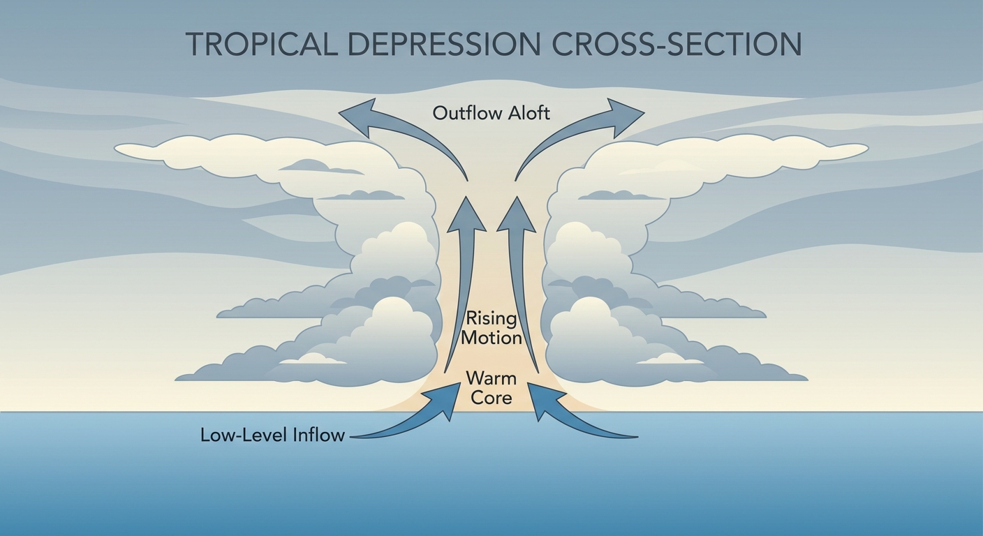
What this means on the ground, if you're anywhere from the Florida Panhandle through coastal Alabama, Mississippi, and into southeast Louisiana, this is a system worth watching closely over the next 48 to 72 hours. New Orleans sits under a "prepare" level in the impact tracking, along with Houma, Central Louisiana, and Sabine Pass over in Texas. Dauphin Island, Alabama is flagged at the higher "action" tier given how close the projected track runs. The biggest concerns right now are heavy rainfall and flash flooding, storm surge along the immediate coast, and gusty tropical storm force winds. New Orleans typically sees a July high near 91°F with lows around 75°F, so on top of any tropical rain bands, it's going to stay plenty warm and humid through this whole event.
Today's Severe Threat: Upper Midwest Enhanced Risk
While the Gulf story develops, SPC has an Enhanced Risk posted today for a chunk of the Upper Midwest and Great Lakes, specifically Milwaukee, Madison, Rockford, Cedar Rapids, and Green Bay. That's about 7.6 million people in the highest tier today. A broader Slight Risk stretches out to Chicago, Des Moines, Grand Rapids, and even down into Raleigh, North Carolina, covering nearly 23 million more.
The main concern this afternoon and tonight is damaging wind. SPC's numbers show a 30% probability of numerous damaging wind reports in the Enhanced zone, and inside the hatched area, gusts could reach 75 mph or better if the strongest cells come together. Large hail up to 2 inches is possible too, and there's a low-end tornado threat, about 5% coverage, with any tornado that spins up potentially reaching EF2 strength.
If you're headed to EAA AirVenture Oshkosh today, that fly-in sits right in the middle of this Enhanced Risk zone. Outdoor activities there and anywhere across southern Wisconsin should have a plan for getting under cover this afternoon into tonight, especially as storms mature after peak heating.
Tuesday Ramps It Up Again: Ohio Valley Into the Mid-Atlantic
Day 2 is honestly the bigger story on the severe side. SPC has an Enhanced Risk Tuesday across southern Indiana, northeastern Kentucky, southern and eastern Ohio, West Virginia, northern Virginia, Maryland, and Pennsylvania. That includes Lexington, Cincinnati, Pittsburgh, Youngstown, and Harrisburg, about 13.5 million people under the higher tier.
A massive Slight Risk footprint stretches from New York City down to Nashville, covering roughly 73 million people. Wind is the headline hazard here, with a 45% probability of widespread damaging gusts in the Enhanced zone, that's Level 4 on SPC's scale, among the higher numbers you'll see on any given outlook. All hazards are in play though, including a 5% tornado threat covering close to 49 million people across that broad Slight Risk area.
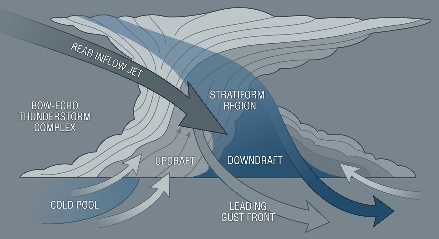
This follows a pattern we've been tracking all week. Yesterday, storms in Pennsylvania and North Carolina produced gusts up to 61 mph and left trees down across the Piedmont and southern Virginia. Tuesday's setup looks capable of another round in that same general corridor, just shifted north and west into the Ohio Valley first.
Rain on Top of Rain
WPC has Slight Risk excessive rainfall areas today for the Desert Southwest, where monsoon moisture off the Gulf of California is streaming into Arizona and the Four Corners, and for eastern North Carolina. By Wednesday, that rainfall risk shifts to the Carolinas, the Intermountain West, and the central Gulf Coast, and WPC's own discussion ties that Gulf Coast rain risk directly to Gulf moisture streaming off Tropical Depression Two. So even areas that dodge a direct hit from the tropical system could see meaningfully wetter conditions by midweek.
What We're Watching
- TD Two becoming a tropical storm later today and its eventual track toward the northern Gulf coast, landfall window currently pointing to late Wednesday near southeast Louisiana
- Enhanced severe risk over the Upper Midwest this afternoon and tonight, especially for damaging wind up to 75 mph in the hatched zone
- Tuesday's Enhanced Risk in the Ohio Valley and Mid-Mid-Atlantic, where a 45% widespread wind probability is one of the higher numbers we've seen this month
- Rainfall risk sliding from the Southwest monsoon today to the Carolinas and central Gulf Coast by Wednesday, tied partly to tropical moisture
- A minor chance of G1 geomagnetic storming late Tuesday as a coronal hole stream arrives, nothing that affects weather on the ground but worth a mention for aurora watchers up north
Bottom Line
If you're along the Gulf Coast from the Florida Panhandle through Louisiana, this is the week to get your hurricane kit checked and watch official NHC updates as TD Two organizes into a tropical storm. If you're in Wisconsin or the Upper Midwest today, including anyone at AirVenture Oshkosh, have a way to get inside fast this afternoon and evening. And if your plans take you through the Ohio Valley or Mid-Atlantic on Tuesday, that's shaping up to be the more widespread severe weather day of the two, so keep an eye on the forecast as you get closer to it.