Blog Article
TS Moke Nears Hawaii; Severe Storms Threaten Northern Rockies
Tropical Storm Moke closes in on Hawaii Island with heavy rain and mudslide risk, while a Slight Risk for severe storms and critical fire weather set up across the western US today.
Tropical Storm Moke Bears Down on Hawaii Island While Severe Storms Fire Up Out West
Alright y'all, let's start where the real impact is today: the Central Pacific.
Tropical Storm Moke Closes In On Hawaii Island
Tropical Storm Moke is sitting about 330 miles south-southeast of Hilo this morning with 46 mph sustained winds, and it's moving west at a brisk 12 mph. Recon flew a mission into the storm overnight, and the data shows a system that's struggled a bit with southwesterly shear and dry mid-level air. Convection is limited and the low-level center has been partly exposed. That's the good news.
The not-so-good news is timing and terrain. NHC's tracking data has Moke's closest approach to Hawaii Island's south shore happening around 10 PM local time tonight, passing within just a handful of miles of land. Even a modest tropical storm running that close to the Big Island's volcanic slopes means serious rain totals. The Honolulu forecast office is flagging 5 to 10 inches of rain for Hawaii Island, with isolated totals up to 15 inches possible where the terrain wrings the moisture out of the storm. Eastern Maui is in line for 3 to 6 inches. And here's the kicker: this is all falling on ground that's still saturated from Hurricane Lala's pass south and west of the islands back in mid-August. That's a recipe for mudslides and flash flooding, especially in burn scars and steep terrain.
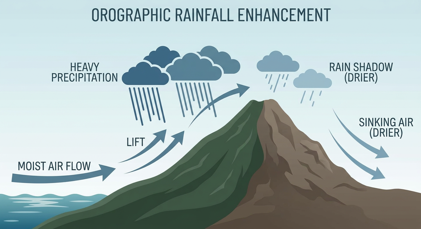
Our experimental impact model has this at an "aware" threat level for Hawaii Island's south and west coasts, which tracks with the messaging from HFO. This isn't a hurricane and it isn't catastrophic, but if you're on the Big Island or in that part of Maui, tonight into Monday morning is when you want to have your flashlights charged and your gutters clear.
The Other Tropical Players: Lala, and a Couple Names Still to Come
Tropical Storm Moke isn't alone out there. Tropical Storm Lala, the same name that made headlines as a Category 4 hurricane south and west of Hawaii back on August 15, has re-strengthened to 69 mph winds well north of the islands, but it's moving northwest over open water and poses no threat to land. NHC's forecast has it weakening steadily as it tracks toward the Kamchatka region by later this week.
Meanwhile, out in the eastern Pacific, an area of disturbed weather southwest of Mexico (tagged EP-AREA-4 in NHC's outlook, tied to Invest 92E) carries a 90 percent chance of development over the next two days and the next seven. That's a high-confidence signal we'll likely have a new named storm out there soon. It's far enough offshore right now that there's no US impact to speak of, but it's worth keeping an eye on given how active this basin has been. The Atlantic has its own quiet contender too, Invest 95L, sitting way out in the central Atlantic with only a 20 knot wind field and no immediate threat.
Severe Weather Watch: Northern Rockies Into the Eastern Great Basin
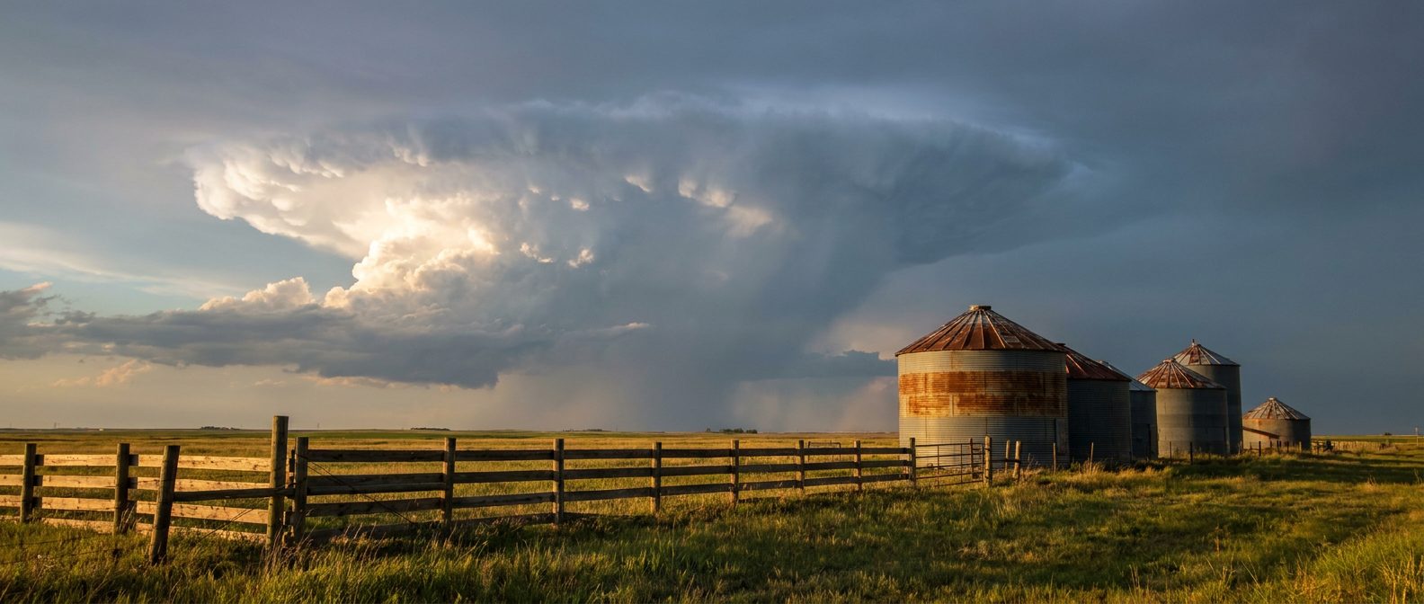
Back over the Lower 48, SPC has a Slight Risk posted today for a swath running from central Montana (Great Falls, Billings) through portions of the northern Plains and into northern Utah, including Salt Lake City. Salt Lake's normal high this time of year sits around 91 degrees, so nothing unusual on the thermometer, but the atmosphere above that warmth is what matters today.
A sub-tropical mid-level ridge is holding firm to the south, and that's steering a disturbance through the northern tier with enough shear and instability to support strong to severe storms. The main hazards are large hail, up to 2 inches in the hatched zones, and damaging wind gusts that could locally reach 75 mph or better. That's not a tornado-driven setup, this is a wind-and-hail day, similar in flavor to what we saw pop off in Utah two nights ago when gusts hit 80 mph in Tooele County.
A much broader Marginal Risk stretches from the Great Basin through the Plains and all the way to the East Coast, brushing cities like Tulsa, Wichita, Phoenix, and even New York City. If you're heading to the U.S. Open in Queens today, or catching one of the afternoon MLB games in the Bronx or Philadelphia, this is background-noise risk, not something to build your day around. Isolated gusty storms are possible, nothing more.
Fire Weather Concerns in the Inland Pacific Northwest
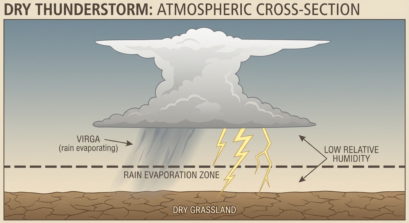
While the Plains deal with severe storms, the interior Northwest is dealing with the opposite problem: dry lightning. SPC has a Critical Fire Weather designation up for northern Washington, the Idaho Panhandle, and far northwestern Montana, plus a second critical area covering the Columbia Basin near Kennewick, Richland, and Pasco, Washington, and into north-central Oregon. Precipitable water values around six-tenths of an inch mean any thunderstorms that fire today will be mostly dry, producing lightning with little rain to go with it. That's exactly the ignition risk you don't want on top of already-stressed fuels. Spokane and Lewiston are also under a dry thunderstorm watch area just to the south of the critical zone.
What About the Rest of the Country?
If you're not in one of those zones, today's actually a pretty nice one. The best weather sits in a corridor from the central High Plains through the Midwest and into the Ohio Valley, where a building surface high and dry northerly flow are setting up genuinely pleasant conditions, cooler dewpoints and clear skies, though patchy elevated air quality readings are keeping it from being a total ten out of ten. WPC also has a Marginal excessive rainfall risk today across parts of the western and central US and in the lee of Lake Erie, mostly tied to slow-moving storm clusters rather than a widespread flood threat.
Space weather watchers can stand down for now. SWPC's latest discussion calls for mostly quiet geomagnetic conditions through Tuesday, with only a low to medium chance of stronger solar flares. No aurora chasing this week.
Key Factors We're Watching
- Tropical Storm Moke's closest pass to Hawaii Island tonight, and how much rain actually falls in already-saturated terrain
- Development odds on EP-AREA-4 southwest of Mexico, which NHC gives a 90 percent shot at becoming a named storm
- Hail and wind reports out of Montana, the Dakotas, and northern Utah as today's Slight Risk storms mature this afternoon
- Dry lightning ignition potential across the Columbia Basin and Idaho Panhandle under Critical Fire Weather conditions
- Whether Monday's Marginal Risk in the Southeast and Gulf Coast produces any of the localized flash flooding WPC is flagging for the lower Mississippi Valley
Bottom Line
Hawaii Island and eastern Maui need to take Moke seriously tonight, not because of wind, but because of rain falling on ground that's already full from Lala. Have your flash flood and mudslide plan ready if you're in a low-lying or burn-scarred area. Out west, Salt Lake City, Great Falls, and Billings should watch the sky this afternoon for hail and damaging gusts, while folks in the Columbia Basin and Idaho Panhandle need to be extra careful with anything that could spark a fire. Everybody else, from the ballparks to the U.S. Open, is looking at a pretty ordinary late-August Sunday.