Blog Article
Tropical Overload: Polo, Nolo, and a Stubborn Nor'easter
Five tropical systems churn the Pacific and Atlantic while Hurricane Nolo stalls near Hawaii and a nor'easter keeps soaking the Northeast coast this weekend.
Tropical Traffic Jam: Cat 5 Polo, Stalled Nolo Near Hawaii, and a Nor'easter That Won't Leave
Alright y'all, the tropics are doing a whole lot this morning, so let's start there. As of this morning we've got five named systems on the board: three hurricanes, one tropical storm, and one tropical depression. Every hurricane is sitting in the Pacific, while the Atlantic side is comparatively sleepy with just a tropical storm and a weakening depression. That lines up with what folks have been noticing this week: the Pacific is churning and the Atlantic is quiet. We'll get into why that matters below.
Hurricane Polo Roars Into Category 5 Territory
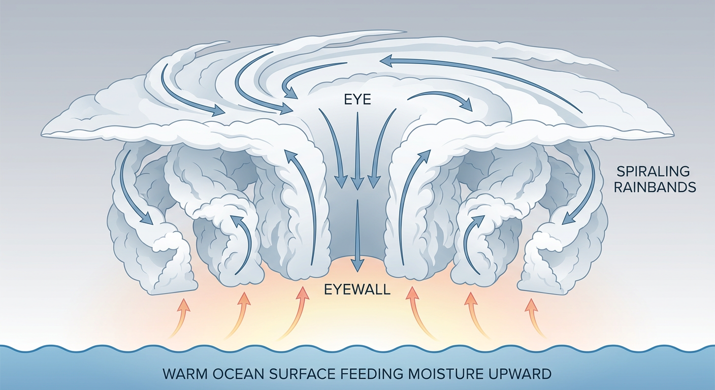
Hurricane Polo intensified into a full Category 5 overnight. NOAA's hurricane hunter aircraft found flight-level winds that translate to roughly 140 knots at the surface, and the latest advisory has Polo at 167 mph sustained winds with a central pressure of 917 millibars. That is an extremely intense hurricane by any measure.
Polo is moving WNW at 9 mph and sits about 375 miles south of Cabo San Lucas, Mexico this morning. Our impact model has Loreto, Baja California Sur tagged at "action" level, with landfall there projected in roughly 3.5 days, likely Monday. Santa Rosalía, Guaymas, La Paz, and Cabo San Lucas all carry a "prepare" tag as well. Some weakening is expected before landfall, but a weakened Cat 5 can still be a serious hurricane, so this one is worth tracking closely even though it stays south of the U.S. border.
Odalys Fading, Nolo Stuck South of the Big Island
Hurricane Odalys has already peaked and is down to Category 3 strength at 115 mph. It's turning north over open water with no landfall forecast, and it should keep weakening as it moves toward cooler water.
Hurricane Nolo is the one Hawaii folks need to keep an eye on. This Category 2 storm has been nearly stationary about 145 miles south of the Big Island, and recon crews are actively flying missions into it right now. Our impact model has Hawaii Island, the Kona Coast, and Hilo sitting in the "prepare" tier, with the closest approach expected later today. Nolo isn't forecast to make a direct hit, but its rain bands and surf impacts have been grinding on the islands for days now, and that's likely to continue into the weekend before it finally drifts farther west.
The Atlantic Stays Tame, For Now
On the other side of the map, Tropical Storm Gonzalo is passing near Sal in the Cabo Verde Islands with 46 mph winds, and Tropical Depression Fay has weakened back down out in the open Atlantic, well east of the Lesser Antilles. Neither poses a U.S. threat right now. There's an invest area trailing Gonzalo near Cabo Verde and another one south of Mexico that forecasters are watching, but nothing is imminent there.
The Nor'easter Just Won't Quit
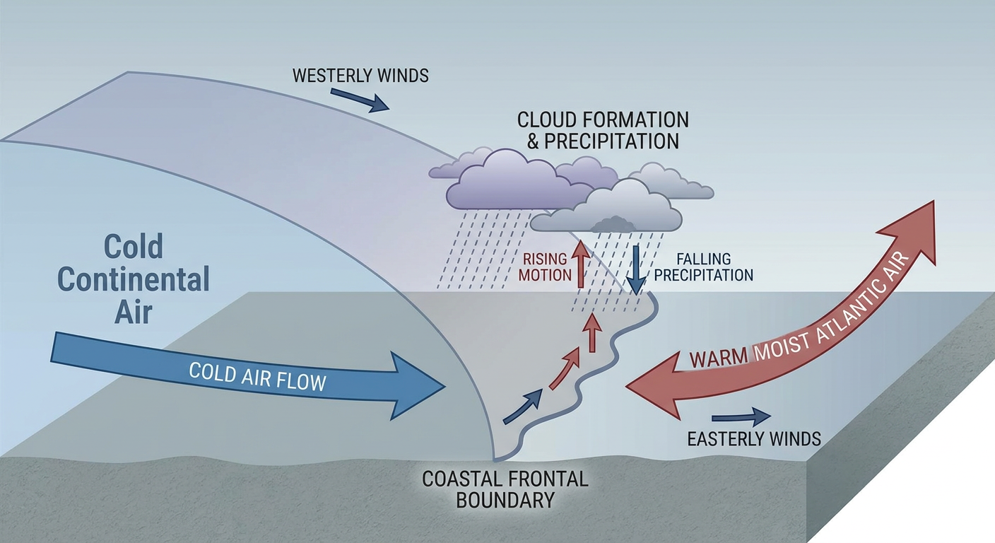
Back on the mainland, that nor'easter we've been tracking all week is still camped off the Northeast coast and showing no urgency to leave. WPC has a Slight Risk of excessive rainfall today running from the northern Mid-Atlantic into southern New England, and that risk holds through Sunday with lingering impacts into Monday. Guidance keeps pointing to another 1 to 2.5 inches of rain stacking on top of already saturated ground from Philadelphia up through Boston.
This is the same system behind yesterday's road flooding in New Jersey, and it's why Ed Sheeran's Gillette Stadium shows got canceled. If you've got plans at the Global Citizen Festival in New York today, or you're headed to All Things Go up in Columbia, Maryland, plan on a wet one. Coastal flooding, gusty winds past 45 mph, and dangerous surf are all part of the package along the Jersey Shore, Long Island, and Cape Cod through the weekend.
A Low-End Severe Risk in the Southern Plains
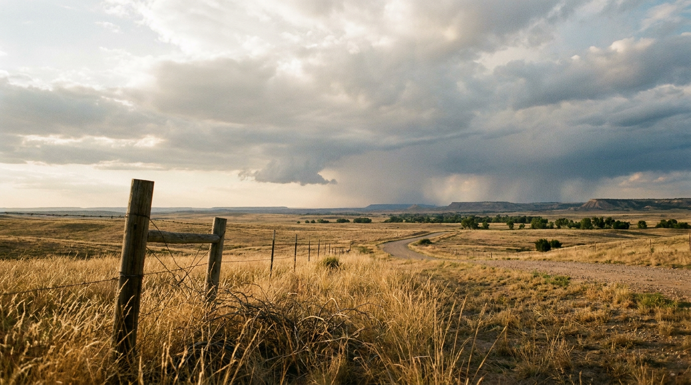
Away from the coasts, SPC has posted a Marginal Risk of severe storms today across western Oklahoma and northwest Texas, covering Wichita Falls, Lawton, Enid, Altus, and Alva. This is about as low-key as a severe risk gets: isolated hail and gusty outflow winds are the main threats, and both wind and hail probabilities sit at just 5 percent, Level 1 on SPC's scale. If you're at the Oklahoma State Fair in OKC or anywhere in that corridor this afternoon, just keep half an eye on the sky. This isn't a plan-changer, just a stay-aware kind of day.
Quick Hits
- Space weather: SWPC has the geomagnetic field reaching active levels today as a coronal hole high-speed stream winds down, easing back to quiet-to-unsettled tomorrow. Nothing beyond G1 (Minor) is expected, so this is a modest bump, not a big aurora event.
- Fire weather: SPC's Day 2 outlook flags breezy, dry southwest winds and low humidity moving into the Great Basin and interior West on Sunday as a closed low develops over central California.
- Desert Southwest heads up: Moisture streaming off Polo and Odalys is going to fuel scattered to widespread thunderstorms across the Southwest by Monday and Tuesday, and WPC already has a Slight Risk of excessive rainfall posted there for Day 3.
Where You'll Find the Nicest Weather Today
If you just want a genuinely good day outside, aim for the patchwork stretching from Denver and Tucson through Indianapolis into Greensboro and Columbus, Georgia. Dry high pressure has scrubbed out the clouds, dewpoints are down in the upper 40s, and winds are light. It's not quite a perfect score day, but for late September, it's about as good as it gets.
Bottom Line
- Hawaii's Big Island stays under a flood and mudslide watch through the weekend as Hurricane Nolo loiters just offshore.
- Baja California Sur should be finishing up hurricane prep. Polo is an intense Category 5 tracking toward Loreto for a possible Monday impact.
- Northeast and southern New England folks, keep the rain gear handy. Coastal flooding, heavy rain, and rough surf continue through the weekend from that stalled nor'easter.
- Western Oklahoma and northwest Texas have a low-end Marginal severe risk today, mainly isolated hail and gusty winds.
- Best outdoor weather in the country sits in a band from Denver and Tucson through Indianapolis, Greensboro, and Columbus, Georgia.