Blog Article
Hurricane Trudy Nears Mexico Coast, SoCal Fire Risk Returns
Hurricane Trudy threatens Mexico's Pacific coast with tropical storm warnings, while critical fire weather returns to Southern California and Florida faces more flooding rain.
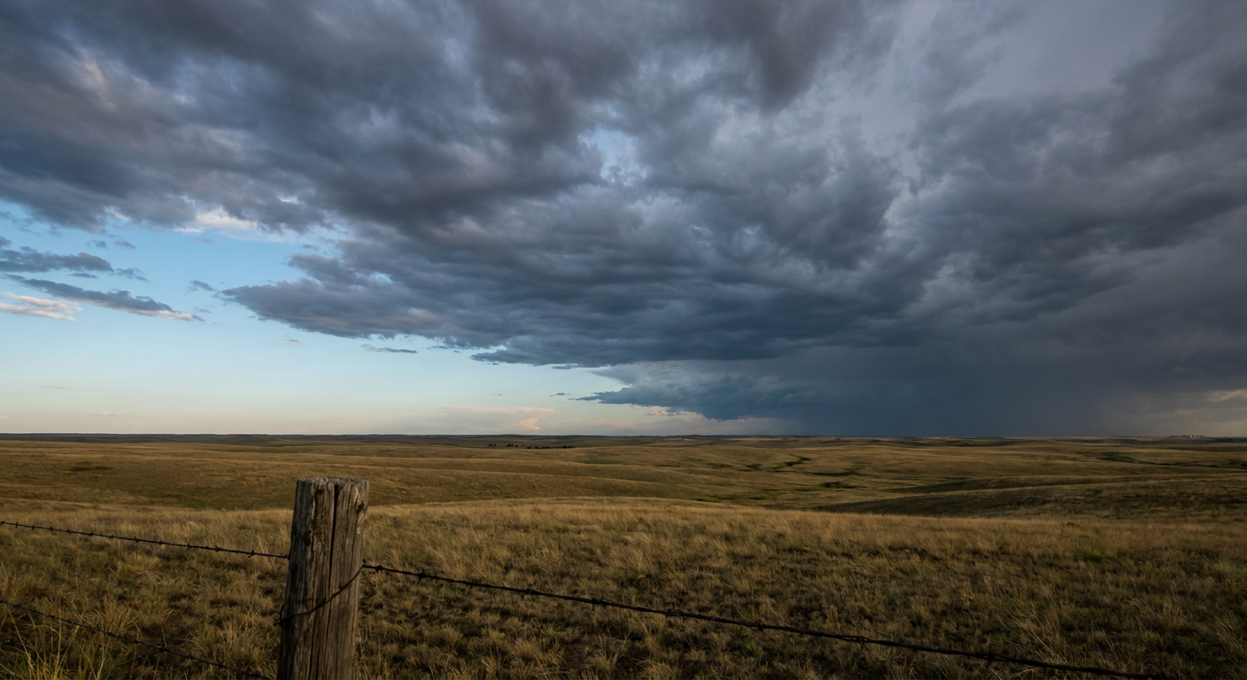
Trudy Churns Along Mexico's Coast While Southern California's Fire Danger Flares Back Up
Alright y'all, good Saturday morning. We've got a genuinely busy map today, so let's get right to it, starting with the big one offshore Mexico.
Hurricane Trudy: Still Working the Coast of Jalisco and Colima
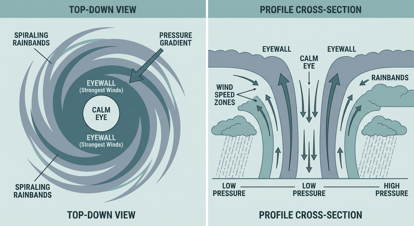
Trudy backed off from the Category 3 peak she hit yesterday (120 mph, if you were following along) but she's still a hurricane this morning. Latest NHC numbers put her at 92 mph sustained, a Category 1, sitting about 215 miles southeast of Manzanillo and creeping northwest at just 8 mph. That slow forward speed matters. It means Trudy's got more time to dump rain and wind on the same stretch of coastline instead of racing through.
Mexico has a Hurricane Watch and Tropical Storm Warnings up from Puerto Vallarta down through Manzanillo. The highest odds of tropical-storm-force wind, up to a 6 in 10 chance, are centered near Manzanillo, with Puerto Vallarta running a 4 in 10 to 5 in 10 shot as Trudy slides by offshore sometime between tonight and Sunday morning. San Blas, up toward Nayarit, is under a Tropical Storm Watch with lower odds, maybe 2 to 3 in 10.
Here's the thing about Trudy's forecast track: NHC guidance actually shows a little wobble back up to near Category 2 strength, around 105 mph, later today before a steadier weakening trend sets in this weekend. That's not unusual for a hurricane running parallel to warm coastal waters. Either way, she stays offshore and doesn't make a direct landfall per current guidance, with her closest pass to Puerto Vallarta, about 86 miles out, expected Sunday afternoon.
Worth watching further out: NHC also has a disturbance tagged south of southern Mexico with a 70% chance of development over the next seven days. It's too early to talk about any US connection, but given how busy this Eastern Pacific season has already been, with Rachel, Simon, and now Trudy, we'll keep an eye on where that one wants to go.
Fire Danger Flares Back Up in Ventura and LA Counties
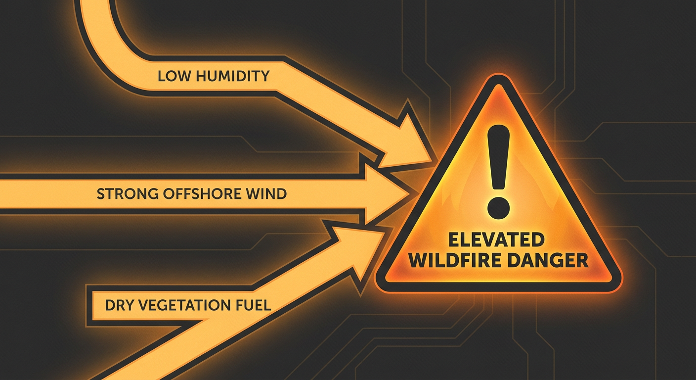
If yesterday's headlines about California fires and those 160,000-plus power shutoffs caught your eye, today isn't done yet. SPC has a Critical fire weather area posted again for western LA County, Ventura County, and southeastern Santa Barbara County, covering about 1.4 million people and cities like Oxnard, Santa Clarita, Thousand Oaks, Simi Valley, and Camarillo.
The setup is the same offshore wind pattern we talked about yesterday: gusts of 35 to 55 mph combined with relative humidity sitting at 15 to 20 percent. That's bone-dry air moving fast over vegetation that hasn't seen meaningful rain in a while. The good news is the offshore gradient is expected to relax as the day goes on, but any fire that starts before that happens has the fuel and the wind to spread fast.
Florida's Rain Machine Isn't Finished
South Florida has been soggy for days now, and WPC still has a Slight Risk of excessive rainfall posted for southeast Florida through this morning, with a localized urban flash flood threat where slow-moving cells could drop 2 to 3 inches an hour. That funnel cloud spotted off Hollywood Beach yesterday afternoon tells you how unstable that atmosphere has been.
Tomorrow the focus shifts up the coast a bit. WPC has bumped the Day 2 outlook to a Slight Risk along the Florida east coast as an approaching cold front adds extra lift to all that seasonably warm, moisture-rich air. Tampa and Miami are both running close to their average mid-October highs in the mid-to-upper 80s, so there's no shortage of fuel for heavy downpours. Hourly rain rates above 3 inches and localized totals in the 6 to 10 inch range aren't out of the question where storms repeat over the same spots.
Looking Ahead: Frost Returns, and a Nor'easter We're Watching
Today's national story outside the tropics and fire zones is wind and cool air. A breezy post-frontal flow is holding most of the Plains, Midwest, and Southeast to a fair-to-decent day rather than anything spectacular, with sustained winds in the 13 to 14 mph range and gusts occasionally topping 35 mph. If you're headed to the Texas Renaissance Festival at Todd Mission or the Ohio Renaissance Festival in Waynesville today, dress in layers and expect that wind to have an opinion about your hat.
By Sunday, frost and freeze conditions build back into the interior Midwest, Great Lakes, Ohio Valley, Appalachians, and Northeast. Detroit's average low this time of year sits around 43°F, and some spots in that corridor will be waking up well below that this weekend.
We're also watching a developing area of low pressure offshore the Outer Banks for Monday into Tuesday. WPC has a Marginal excessive rainfall risk posted there, but model guidance is genuinely split, with the GFS nudging the system closer to the Carolina coast and the ECMWF pushing it farther out to sea. If it tracks close enough, expect talk of coastal flooding, beach erosion, and gusts above 40 mph for the Mid-Atlantic and Northeast coastline. If you've got outdoor plans around Arlington, Virginia for next weekend's Marine Corps Marathon, it's not an issue yet, but it's early enough in the week that we're not ruling anything out either.
Key Factors We're Watching
- Trudy's exact track and any late wobble in intensity as it parallels the Jalisco and Colima coastline through Sunday
- That 70% development disturbance south of Mexico, and whether it eventually threatens the same stretch of coast
- Whether the offshore wind gradient in Southern California relaxes on schedule or holds longer than forecast
- Florida's rain totals as the cold front approaches the east coast Sunday into Monday
- Model agreement (or lack of it) on the Outer Banks low for early next week
Bottom Line
If you're on Mexico's Pacific coast between Manzanillo and Puerto Vallarta, today and tonight are the window that matters, with Tropical Storm Warnings and a Hurricane Watch still up. In Southern California, especially Ventura and LA counties, today is another day to have your go-bag ready and avoid anything that could throw a spark outdoors. Florida folks should keep an eye on the sky this afternoon and tomorrow, flash flooding is the real threat, not wind. And if you're in the Great Lakes or Northeast, go ahead and find the ice scraper, because Sunday morning frost is coming back around.