Blog Article
Trudy Weakens, New Tropical Areas Form: Oct 19 Forecast
Tropical Storm Trudy fades over the Pacific while a Southeast coast low eyes subtropical development. Plus AZ severe risk, coastal flooding, and G1 aurora chances.
Trudy Winds Down, But Two New Tropical Areas Are Worth Watching This Week
Alright y'all, let's start where the action is, out in the tropics.
Trudy Is Falling Apart, and That's a Good Thing
Tropical Storm Trudy spent last week as a Category 3 hurricane off the coast of Mexico, but she's a different storm now. As of the 2 AM advisory, Trudy's winds have dropped to 58 mph and NHC says she's rapidly weakening. Most of the deep thunderstorm activity has fallen apart, and satellite estimates have her intensity falling into the 46 to 55 knot range. She's sitting about 155 miles southwest of Cabo Corrientes and crawling west at just 6 mph. There's no coastal watch or warning in effect, and NHC's forecast shows no landfall anywhere, with her closest approach to land dropping her down to about 33 mph by Tuesday evening. In plain terms, Trudy's done being anybody's problem.
Two Areas to Keep an Eye On
Here's the thing though, the tropics aren't closing up shop just yet.
- South of Mexico (EP-AREA-2): NHC has this one at HIGH risk, 40% in the next two days and 90% through the week. Conditions look conducive for a tropical depression to form south of Guatemala. This one's still way out from the US, but we'll track it since development odds are high.
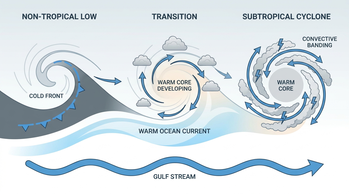
- Off the Southeast US coast (AT-AREA-1): This is the one with more direct relevance for folks reading this in the Carolinas and Virginia. A storm-force non-tropical low is parked along a frontal boundary a few hundred miles offshore, and NHC says it could gradually pick up subtropical characteristics if it lingers over the Gulf Stream. Risk is listed MEDIUM, 40% through seven days. Even without a name, this system is the reason coastal North Carolina, the Virginia Tidewater, and parts of Maryland have been dealing with Coastal Flood Warnings and Advisories since the weekend. Yesterday's webcams showed water over the road in Davis, North Carolina, and flooding at Union Point Park in New Bern. That onshore flow isn't going anywhere fast, so expect those coastal flood headlines to persist through the next couple days regardless of whether this thing ever gets a name.
Severe Weather: A Marginal Risk Builds for Wednesday
Outside the tropics, SPC's Day 3 outlook has a Marginal Risk posted for central and eastern Arizona into far western New Mexico on Wednesday. An upper trough digging into the Interior West will kick up a strong low-level response across the Desert Southwest and High Plains. The summary language is isolated severe wind, hail, and maybe a brief tornado, nothing widespread, but enough that Phoenix, Tucson, and Flagstaff residents should keep half an eye on the forecast midweek. That trough is also behind the Marginal to Slight excessive rainfall risk WPC has posted for the Southwest Tuesday into Wednesday, mostly southeast Arizona and southwest New Mexico, where instability near 1000 J/kg could trigger scattered storms capable of quick runoff.
Space Weather: Aurora Possible Up North Tonight
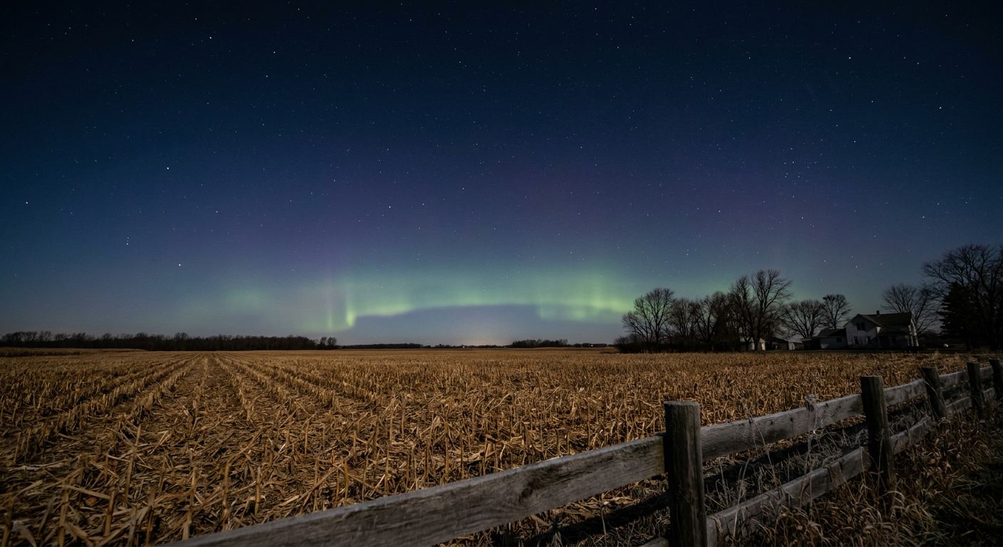
NOAA's Space Weather Prediction Center says a coronal hole high-speed stream is pushing the geomagnetic field toward G1 (Minor) storm levels today and tomorrow, with a peak Kp of 5. That's not a major event, but a G1 storm can push the aurora down into the northern US on a clear night, think the upper Great Lakes, northern Minnesota, maybe into Michigan if skies cooperate. Solar activity itself stays low, with just a 25% chance of an M-class flare from a couple of active sunspot regions.
The Good News: Most of the Country Looks Great Today
After a week full of flash flooding in Florida, freeze warnings in the Ohio Valley, and 77 mph wind gusts out west, today is mercifully calm for most folks. High pressure has central Nebraska and northwest Kansas sitting under about as close to perfect conditions as October gets, and a broad swath of the central Plains, upper Midwest, and interior Southeast is riding along in the beautiful-to-nice range. The Gulf Coast stays muggy and the Northeast stays breezy, but nothing dramatic. If you've got outdoor plans tonight, like catching the 49ers-Commanders game out in Santa Clara, conditions look manageable.
What We're Watching
- EP-AREA-2 south of Mexico, HIGH development odds through the week
- AT-AREA-1 off the Southeast coast, possible subtropical transition, continued coastal flood impacts for NC and VA
- SPC Marginal Risk for AZ/NM on Wednesday, isolated severe wind and hail
- WPC Marginal-to-Slight excessive rainfall risk for the Southwest Tuesday-Wednesday
- G1 geomagnetic storm today and tomorrow, aurora chances for the northern tier
Bottom Line
Trudy's winding down and poses no threat to land. The bigger story for US readers is that lingering low off the Southeast coast, which could keep tidal and coastal flood issues going in North Carolina and Virginia even if it never earns a name. Arizona and New Mexico should watch Wednesday for an uptick in storm activity, and if you're up north with clear skies tonight, it might be worth a glance outside for some aurora. Everybody else, enjoy the calm. This kind of quiet stretch doesn't come around often in October.