Blog Article
Kelvin Wave vs Nor'easter: Why Both US Coasts Are Flooding
A Pacific Kelvin wave and an Atlantic coastal low are raising water levels on both US coasts this week. Here's the science, plus what it means for the Marine Corps Marathon.
Two Coasts, Two Different Reasons the Water's Acting Up Tonight
Alright folks, there's a headline floating around tonight that caught my eye as a meteorologist: a Kelvin wave raised sea levels on the West Coast, and more are coming. Get this, that's not a typo and it's not hype. It's real ocean physics, and it's happening the same week the East Coast is dealing with its own water problem for a completely different reason. Let's talk about both, because they tell a good story about how much the ocean runs the show even when the sky looks calm.
When the Ocean Itself Tilts
A Kelvin wave isn't a storm. It's a slow-moving bulge of warmer water that forms near the equator and travels east across the Pacific, then bends and runs north and south along the coastline once it hits land. Think of it less like a wave crashing on the beach and more like the whole ocean surface tilting up a few inches for days to weeks at a time. By itself, a Kelvin wave won't flood your street. But stack it underneath a high tide, or underneath a run of onshore wind and swell, and suddenly water that used to stay a foot below the seawall is spilling over it. That's the mechanism behind the West Coast story in the news tonight, and it's why forecasters are watching for more of these pulses in the weeks ahead.
Meanwhile, the Atlantic's Got Its Own Thing Going
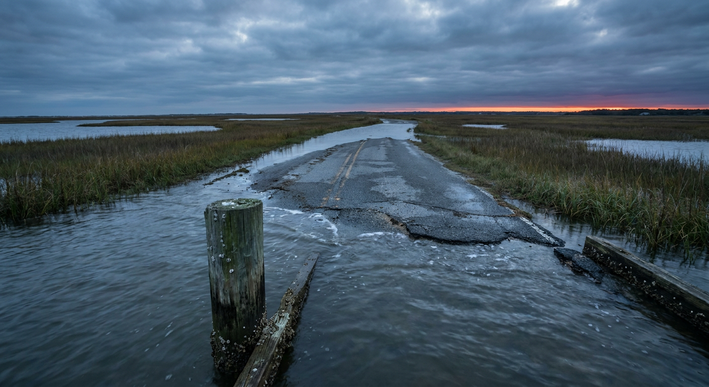
On the other side of the country, we've got a different animal entirely. A storm-force, non-tropical low has been parked a few hundred miles off the Southeast coast for days now, and it's not in a hurry to leave. That slow-moving system has been driving persistent onshore wind, and onshore wind piles water against the coast the old-fashioned way: physically pushing it there.
You saw the results yesterday. Webcams in New Bern, North Carolina caught Union Point Park sitting under water. Davis, North Carolina had water over the road. Hatteras Island has been under a Coastal Flood Warning, and advisories stretch from the Outer Banks through the Virginia Tidewater, Maryland, and even northeast Florida. The National Hurricane Center is watching the same system (they're calling it AT-AREA-1 in their tropical outlook) for a small chance, about 40 percent through day 7, that it could briefly pick up some subtropical characteristics if it drifts over the Gulf Stream and detaches from its front. Even if that never happens, the coastal flooding and rough surf don't need a named storm to keep causing problems.
A Marathon With an Audience of Barnacles
Here's where this gets personal for a lot of y'all. The Marine Corps Marathon runs through Arlington, Virginia on October 25th, and a good chunk of that course hugs the Potomac, which is tidally influenced all the way up past DC. If you're one of the runners logging training miles this week along the Tidewater or around the Mall, don't be surprised if low spots near the water are soggier than usual on an outgoing tide. The current coastal flood advisories are tied to the offshore low we just talked about, and that system is expected to stick around into midweek before conditions ease. Race day is six days out, which is plenty of time for this pattern to change, so check local advisories again closer to the date instead of assuming today's conditions hold.
Trudy's Glow Up, Then Let Down
Quick tropical check-in because this one's a good illustration of how fast these systems can swing. Just three days ago, Trudy was a Category 3 major hurricane with 120 mph winds off the southwestern coast of Mexico. Tonight, she's barely hanging on as a 40 mph tropical storm, sitting nearly stationary a couple hundred miles offshore, with no coastal watches or warnings anywhere. Forecasters at the National Hurricane Center are watching her weaken further as dry air and less favorable upper winds take their toll. There's a separate disturbance, labeled EP94, brewing well to the south near Guatemala with a higher chance of development over the next week, so the Eastern Pacific isn't done for the season. But Trudy herself is winding down, not up.
Look Up Tonight Too
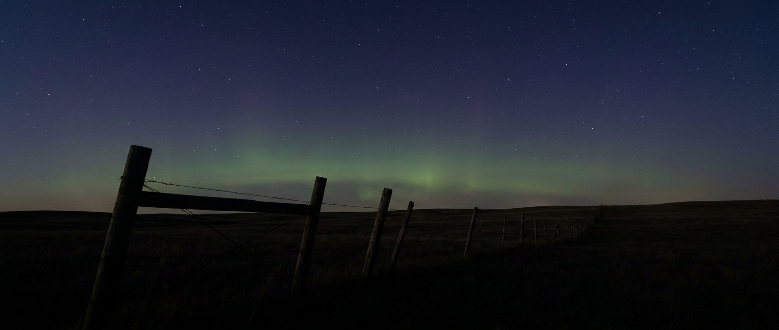
One more thing while we're on the subject of things happening overhead and offshore. NOAA's Space Weather Prediction Center says the geomagnetic field is likely to reach G1, or Minor storm level, tonight into tomorrow with a Kp index around 5. That's being driven by a coronal hole high-speed stream, not a flare or a coronal mass ejection. G1 storms are on the mild end, so don't expect a repeat of the big aurora outbreaks from the last couple years. But if you're in the northern tier of the country, away from city lights, with clear skies tonight, it's worth a glance north after dark. No promises, just a modest chance.
The Bottom Line
Two different coasts, two completely different reasons the ocean's running a little high this week. One's a slow Pacific swell with more pulses on the way. The other's a parked Atlantic low that just won't take the hint and leave. Neither one is dramatic on its own, but both are worth knowing about if your plans involve sand, a seawall, or a marathon bib. Check the tide charts, check the local coastal flood advisories, and if you catch a faint green shimmer up north tonight, you'll know exactly why.
https://ryanhallyall.com/blog/two-coasts-two-different-reasons-the-waters-acting-up-tonight