Blog Article
Karina, Lowell & Hawaii Watch Plus Utah Wind Risk Today
Two East Pacific tropical storms, a possible Hawaii threat from Lowell, repeat Utah wind damage risk, and Arizona flash flooding all in today's forecast roundup.
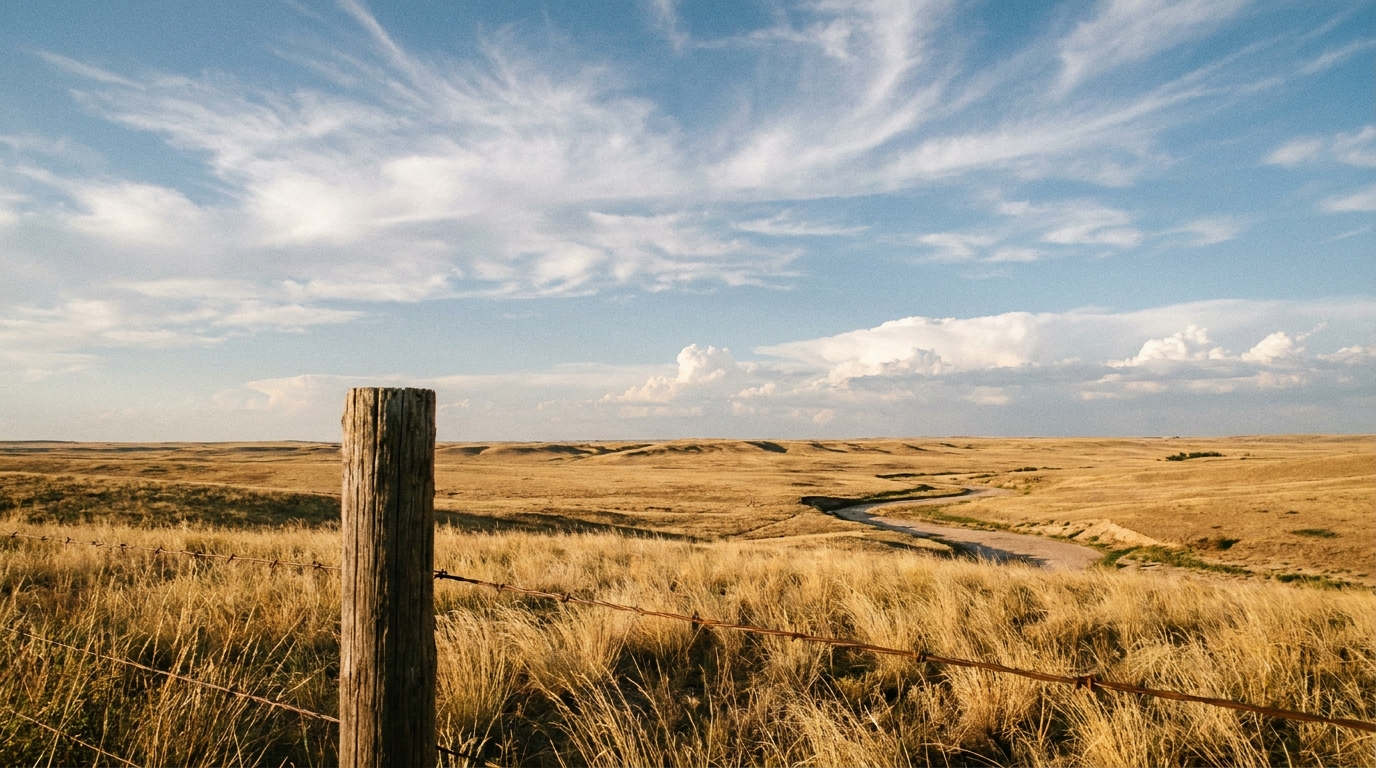
Two Pacific Storms, a Hawaii Watch, and Utah's Wind Threat Reloads
Morning, y'all. Grab your coffee, because there's a lot moving today, and most of it is out over water where we can just watch it for now. Let's start where the biggest question marks are: the tropics.
Tropical Watch: Karina, Lowell, and a Third System Worth Tracking
The East Pacific has three things going right now, and none of them are an immediate US threat, but one of them deserves your attention if you've got family in Hawaii.
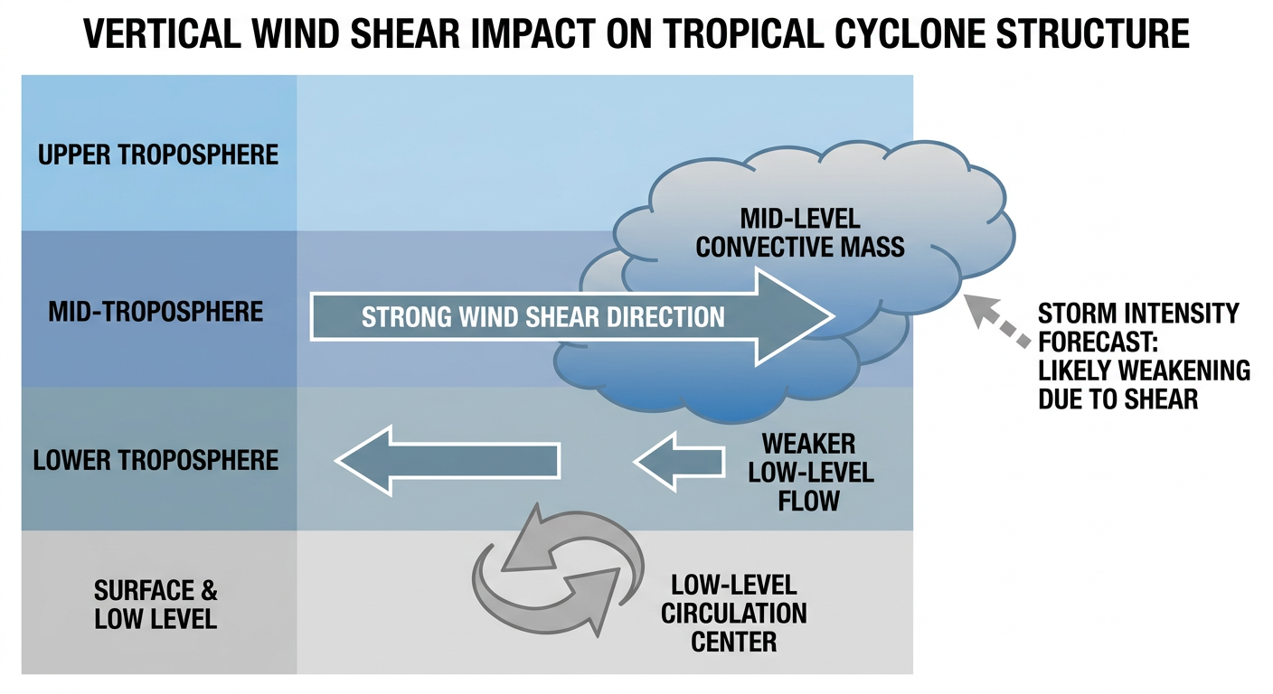
Tropical Storm Karina is sitting about 730 miles southwest of the southern tip of Baja California with 65 mph winds, and NHC's forecast has her intensifying into a major hurricane. Here's the good news: she's well offshore and there's no landfall forecast in the data we're tracking. Moderate wind shear is giving the storm a bit of a lean, tilting the vortex to the north, but she's still expected to strengthen as she tracks northwest. This one's a "watch from the couch" storm for now.
Tropical Storm Lowell is the one to keep an eye on. She's way out east-southeast of Hawaii right now with 45 mph winds, moving west at a crawl. The forecast track has her potentially strengthening into a hurricane, and some of the ensemble guidance, the GEFS and ECMWF models, are turning her north toward the islands in the week-two timeframe. The current closest-approach data puts her passing within about 43 miles of Hilo with modeled intensity near 95 mph at that point, roughly five days out. I want to be careful here: that's a long way off, confidence is low this far out, and the National Weather Service office in Honolulu is the one watching this closest. But if you're in Hawaii, this is worth having on your radar for early next week.
Third piece: an area of disturbed weather well south of southwestern Mexico, tied to a tropical wave, carries an 80% chance of development over the next seven days per NHC's outlook. That's a high number, but it's also far enough out and far enough offshore that it's not an immediate concern for anybody reading this in the US. Just something we'll keep tracking as the week goes.
Utah's Wind Machine Fires Back Up Today
If you're in northern Utah, this is going to sound familiar. Yesterday, thunderstorms put down a 79 mph gust near Santaquin that rolled a semi truck on I-15, plus 64 mph gusts through Provo Canyon and tree damage across Utah County. SPC has a Slight Risk posted again today for eastern Nevada, northern Utah, and southwest Wyoming, covering Salt Lake City, Provo, Brigham City, and Wells, Nevada, about 3 million people in that zone.
The setup is the same story as this whole week: an upper low digging into the Pacific Northwest is kicking storms into the northern Great Basin and central Rockies, and those storms are tapping steep low-level lapse rates that let downdrafts accelerate hard on the way to the ground. SPC's probabilities put a 15% chance of damaging wind in the higher-end zone, with a hatched area where gusts could reach 75 mph or better if a storm really gets going. Hail is a lesser threat today, mainly quarter-size stuff in isolated spots.
If you're headed to Burning Man on the playa in northern Nevada as gates open tomorrow, or just driving I-15 or I-80 through the Wasatch Front this afternoon and evening, keep half an eye on the sky. These storms don't need to be widespread to do real damage, they just need to find the right column of dry air to punch a downdraft through.
Arizona's Monsoon Flood Threat Enters Day Three
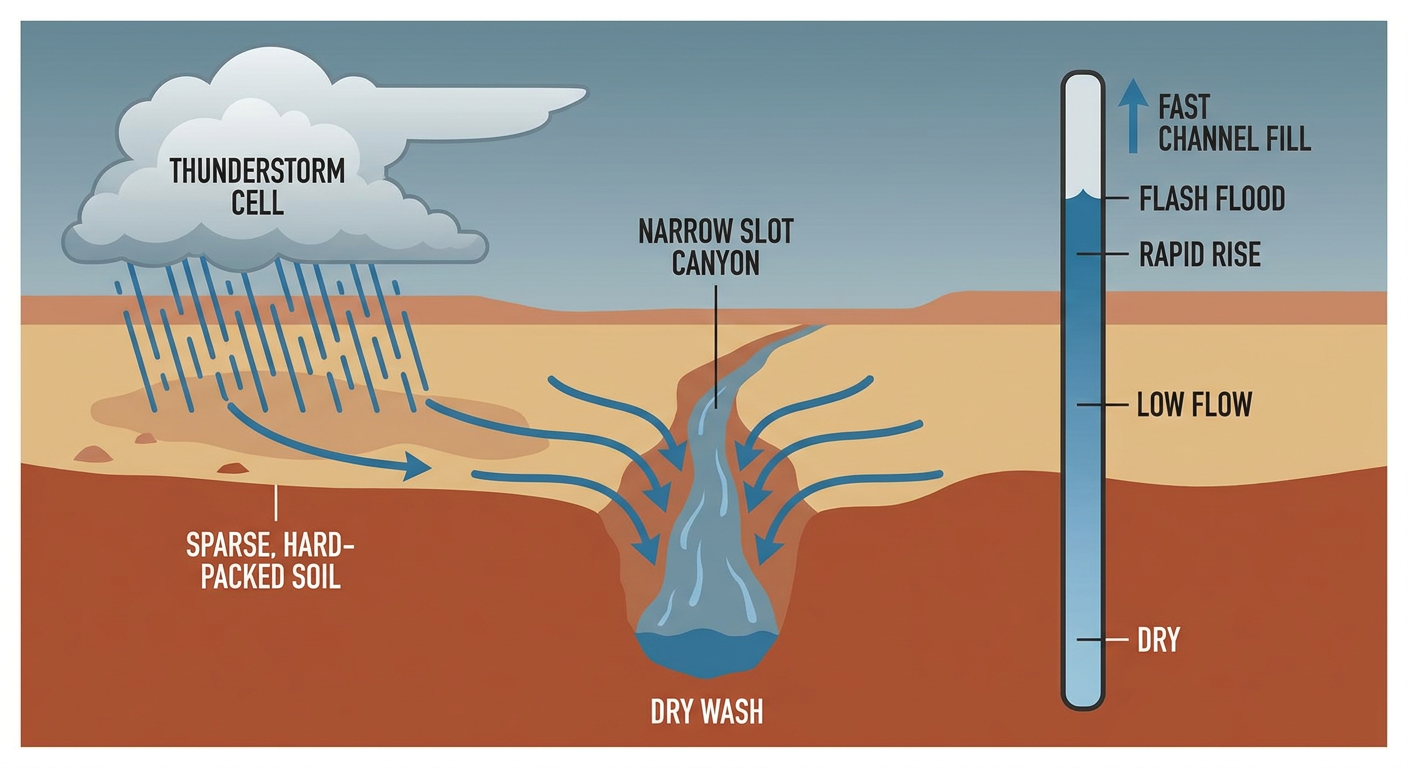
Meanwhile the Southwest is dealing with its own recurring theme. WPC has a Slight Risk for excessive rainfall posted for central and southern Arizona today, tomorrow, and Monday, which lines up with what we've already seen this week: Flash Flood Warnings for Zion's slot canyons and Antelope Creek just yesterday.
The ingredients are textbook monsoon: precipitable water values around 1.5 to 1.75 inches, decent instability, and an upper-level trough dragging Pacific moisture straight into the Southwest. WPC is flagging 20 to 30% flash flood guidance exceedance around Flagstaff, and 40 to 60% around Tucson, which is about as high as those numbers get. Phoenix, Tucson, and Flagstaff are all named specifically in today's discussion, and burn-scar terrain in northern Arizona is a particular worry since scorched ground sheds rain fast with nowhere for it to soak in.
If you live near a wash, a slot canyon, or anywhere runoff funnels quickly, today is not the day to test how fast that water rises. It doesn't take a flood on the news to turn deadly, it just takes standing water where you didn't expect it.
Sunday Shifts the Severe Focus to the Plains
Looking ahead a day, SPC's Day 2 outlook moves the Marginal Risk east into eastern Montana, the Dakotas, Nebraska, Minnesota, and Wisconsin, right into the path of Sunday's Twins-White Sox game in Minneapolis and the second race of the Grand Prix of Milwaukee. Storms may already be ongoing Sunday morning near a warm front draped across the Dakotas into central Minnesota, then redevelop through the afternoon. Damaging wind and large hail are the main threats, and there's a small 2% tornado chance tucked in near that Upper Mississippi Valley warm front. Nothing that should cancel your weekend plans, but if you're at an outdoor stadium up there Sunday afternoon, know where the shelter is.
Space Weather: A Shot at Aurora Tonight
SWPC is calling for periods of G1 to G2 geomagnetic storming tonight, driven by a coronal hole high-speed stream combined with CMEs that left the sun on the 25th and 26th. That's minor to moderate storming, enough to push the aurora visible farther south than usual across the northern US on a clear night. If you're under dark skies in the northern tier tonight, it's worth a glance north after dark. Longer range, SWPC's 27-day outlook says nothing bigger than that is expected through mid-September.
What We're Watching
- Tropical Storm Lowell's potential turn toward Hawaii in the week-two timeframe, still low confidence
- Tropical Storm Karina's forecast intensification to major hurricane, staying offshore of Baja
- The 80% (7-day) development chance for the disturbance south of Mexico
- Repeat severe thunderstorm winds today across northern Utah, eastern Nevada, and southwest Wyoming
- Continued flash flood risk in central and southern Arizona through Monday, especially burn scars and slot canyons
- Sunday's severe risk sliding into the Dakotas, Nebraska, Minnesota, and Wisconsin
- G1-G2 geomagnetic storming tonight with a shot at aurora across the northern US
Bottom Line
Nothing in today's data points to an immediate US landfall threat from the tropics, but Lowell is worth watching if you've got ties to Hawaii, and we'll keep tracking it as the week-two picture sharpens. Closer to home, if you're in the Wasatch Front or northern Nevada, today looks like a rerun of yesterday: watch the afternoon and evening sky for storms capable of 60 to 75 mph gusts. And if you're anywhere in central or southern Arizona, respect the water. Slot canyons and washes can go from dry to dangerous in minutes this time of year, and this week has already proven it.
https://ryanhallyall.com/blog/two-pacific-storms-a-hawaii-watch-and-utahs-wind-threat-reloads