Blog Article
Karina, Lowell, and Your Labor Day Hawaii Travel Forecast
Two East Pacific storms are tracking toward Hawaii right around Labor Day, while the Gulf Coast watches Invest 97AL. Here's what it means for your plans.
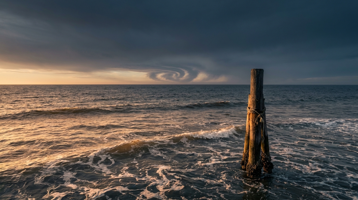
Two Storms, One Ocean, and Your Labor Day Hawaii Trip
Alright folks, if you've got a flight to Honolulu booked for next weekend, let's talk about it before you start doomscrolling the internet at midnight.
Right now there are two named storms spinning across the East Pacific. Hurricane Karina is a Category 1 with 92 mph winds, sitting about 950 miles southwest of the tip of Baja California and creeping west at 9 mph. Behind her, Tropical Storm Lowell is packing 52 mph winds roughly 985 miles east-southeast of Hilo, also drifting west. Neither one is anywhere close to land tonight. But both are aimed, generally, in the direction of Hawaii, and Labor Day weekend is next weekend. That's the kind of timing that gets a Hawaii trip trending for reasons that have nothing to do with the beach.
What 'Aware' Actually Means
Here's the thing. Our impact model flags Hawaii at a threat level of "aware" for both storms. That's the lowest rung on the ladder, not a warning, not even a watch. It just means these systems are close enough, in time and distance, that we should keep half an eye on them.
- Karina: closest projected approach to Hawaii Island is about 299 miles, roughly 8 days out. That puts the timing right around Labor Day itself.
- Lowell: closest approach to Hawaii Island's south shore is closer, about 198 miles, but sooner, around 5 and a half days out. That lands right in the heart of the holiday weekend.
Both numbers are forecasts, and 5 to 8 days out in the tropics is an eternity. A storm can strengthen, weaken, wobble north, or fall apart entirely in that window. The one wrinkle worth knowing: some GEFS and ECMWF ensemble members show Lowell nudging farther north toward Hawaii in the second week than the official track currently shows. That's not a prediction Lowell hits the islands. It's a reason we're not closing the book on this yet.
If you're flying out next weekend, don't cancel anything. Just don't be shocked if this becomes a real headline by Wednesday or Thursday.
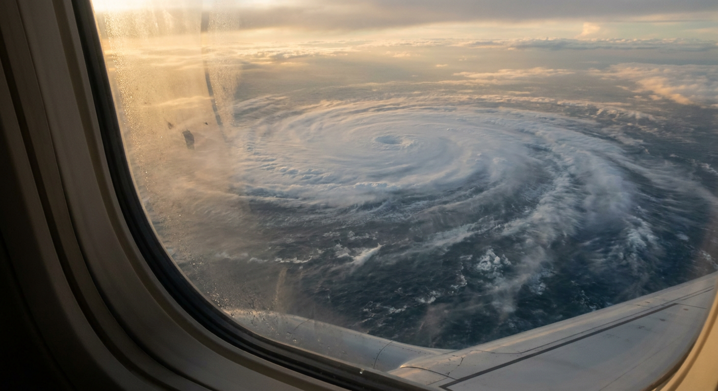
Meanwhile, the Gulf Coast Has Its Own RSVP to Deal With
While Hawaii watches the Pacific, the Gulf Coast is watching itself. Invest 97AL is a developing low sitting about 125 miles south of southeastern Louisiana right now, and the National Hurricane Center gives it a 50 percent shot at organizing into something with a name. It's drifting west-northwest, and the guidance has it approaching the Upper Texas Coast early Tuesday morning.
Even if 97AL never earns a name, it doesn't need to. Precipitable water values are already running above 2.25 inches ahead of it, and WPC has posted a Slight Risk of excessive rainfall for the Upper Texas Coast and far southwestern Louisiana on Tuesday. That's the same stretch of coast that just watched San Antonio take a beating on Friday, when straight-line winds and flash flooding knocked power out to more than 100,000 customers in Bexar County. If you've got Labor Day cookout plans anywhere between Houston and Lake Charles, keep Tuesday's forecast in your back pocket.
And Don't Sleep on Utah
This one's not tropical, but it's the bigger rainfall number on the board today. WPC has a Moderate Risk of excessive rainfall for portions of Utah on Monday, the higher of the two excessive rainfall categories nationally right now. The same monsoon moisture that sent water rescuers into Tucson washes and forced air evacuations from Phantom Ranch in the Grand Canyon this weekend is still in the pipeline. If you're headed into slot canyon country for a late-summer hike, Monday is not the day.
The Takeaway
None of this is a reason to panic. It's a reason to check back midweek. Karina and Lowell are giving Hawaii travelers a loose window to watch, the Gulf's Invest 97AL is giving Texas and Louisiana a specific Tuesday to plan around, and Utah's monsoon is still writing flash flood headlines in real time. Late August into Labor Day has been an active stretch all year. This week's just adding a few more storms to the ledger.
https://ryanhallyall.com/blog/two-storms-one-ocean-and-your-labor-day-hawaii-trip