Blog Article
Hurricane Vance, F1 Austin, and This Weekend's Weather Split
Hurricane Vance strengthens off Mexico as Austin, Raleigh, and Florida enjoy clear skies while the Desert Southwest keeps recovering from this week's floods.
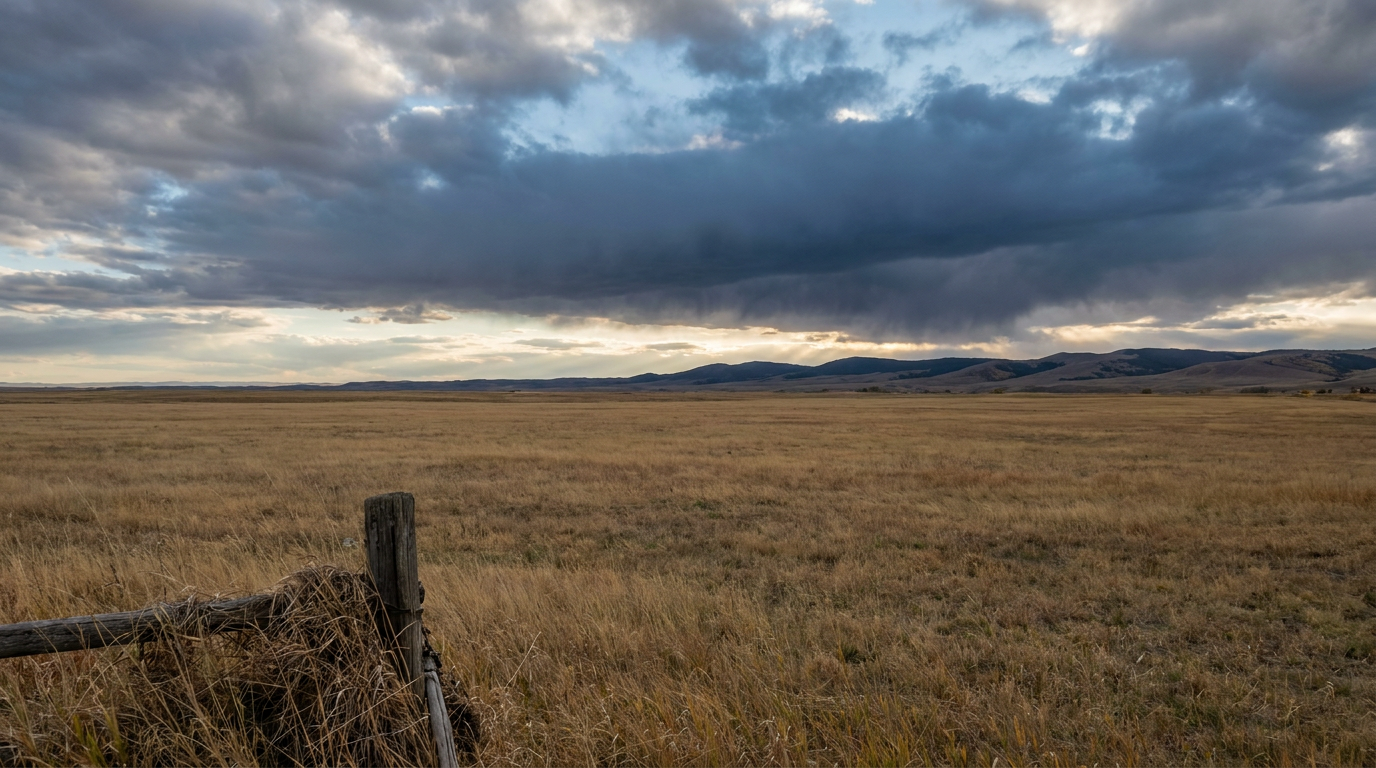
Vance Churns, Austin Revs Up, and the Desert Southwest Keeps Mopping Up
Alright folks, three different weather stories are running at the same time tonight, and they don't have much to do with each other on the surface. But stick with me, because they all come back to the same big atmospheric setup.
Story One: Vance Is Getting Serious, Fast
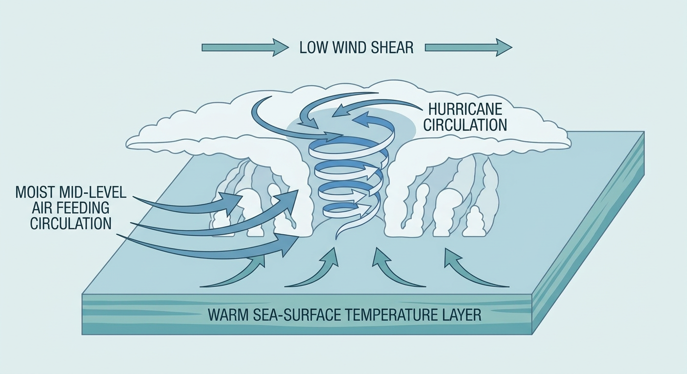
Hurricane Vance sits a few hundred miles south-southwest of Acapulco right now, and the National Hurricane Center's own forecast discussion calls the intensity outlook a "low confidence roller coaster." That's their language, not mine, and it tells you something. Vance went from disorganized to a well-defined eye inside a dense overcast in less than a day. Max winds are up to 104 mph, a Category 2, and NHC says it could become a major hurricane tonight.
Here's the thing though: this storm isn't coming for the U.S. It's crawling northwest at just 5 mph, and the highest-threat town on our model right now is Lázaro Cárdenas, Mexico, sitting at a "Prepare" tier with a 3 to 4 in 10 chance of 39+ mph winds starting as early as Sunday afternoon. Manzanillo and Zihuatanejo are a notch down at "Aware." Those are real tourist towns on Mexico's Gold Coast, and if you've got friends with travel plans to that stretch of coastline in the next week, now's the time to check in with them.
Story Two: The Outdoor Weekend Nobody's Rain-Checking
Meanwhile, back in the States, it is an absolutely stacked weekend for being outside. Formula 1 practice is underway in Austin. The Garden Brothers Circus is setting up tents in that same city. Jake Owen is playing Cocoa, Florida tonight. Cirque du Soleil is running in Orlando. The North Carolina State Fair is still going strong in Raleigh. None of that works without decent weather, and right now, none of it is getting rained out.
That's because a dry, subsident ridge has parked itself over a huge chunk of the country. Our internal nice-weather outlook has the southern Appalachians, Middle Tennessee, the Carolinas, and the Pacific Northwest sitting at a BEAUTIFUL tier tonight, and tomorrow that same calm stretches from California through the Mid-Atlantic and into the Gulf Coast. Raleigh in late October averages a 72°F high and a 50°F low. Under this pattern, fairgoers are getting textbook fall weather: light wind, low humidity, clear skies. Nothing dramatic, just a quiet ridge doing its job.
Story Three: The Southwest Is Still Not Done
Now flip to the other side of the country's weather map, and it's a completely different mood. We're still inside the same multi-day stretch that put Gould Wash over its banks in Hurricane, Utah, forced evacuations along Largo Wash in New Mexico, and sent the Virgin River from 400 cfs to 4,290 cfs in fifteen minutes. That was Thursday into Friday. Today, SPC still has a Slight Risk of severe storms up for El Paso, Albuquerque, and far west Texas, with large hail, damaging gusts, and an isolated tornado all on the table again. WPC has a Slight Risk for excessive rainfall across New Mexico and southern Colorado too, because the ground out there is already saturated from this week's rounds.
- SPC Day 1: Slight Risk, El Paso to Albuquerque, hail up to 2 inches possible
- WPC Day 1-2: Slight Risk of excessive rainfall, New Mexico and southern Colorado, renewed flash flood concern on ground that's already soaked
- Critical fire weather separately posted for northeast Wyoming, far southeastern Montana, and far western South Dakota, where strong southwest wind and low humidity are lined up
So while one half of the country is tailgating and trick-or-treating under clear skies, the other half is watching storm drains and river gauges for the third or fourth time this week.
What To Actually Watch Looking Ahead
The calm side of this pattern doesn't last forever everywhere. WPC's Day 3 outlook (valid Sunday) pushes a Slight Risk for excessive rainfall into the central and southern High Plains and southeast Florida. If you're in Orlando or along the Space Coast for a show this weekend and staying through Sunday, keep half an eye on that. It's not a washout forecast, just enough signal that we wanted you to know before you pack the car.
The Takeaway
One ridge, two very different weekends. It's giving Austin and Raleigh picture-perfect fall weather for F1 and fair food, while New Mexico and Colorado are still living through the back half of a flood event that started midweek. And a few hundred miles off Mexico's Pacific coast, Vance is reminding us that October hurricane season isn't over just because it feels like sweater weather up here. Keep tabs on all three. They're not connected by geography, but they're all running under the same sky.
https://ryanhallyall.com/blog/vance-churns-austin-revs-up-and-the-desert-southwest-keeps-mopping-up