Blog Article
Hurricane Vance Intensifies as Southwest Storm Risk Continues
Hurricane Vance rapidly strengthened in the Eastern Pacific while the Southwest faces another round of severe storms and flash flooding from New Mexico into West Texas.
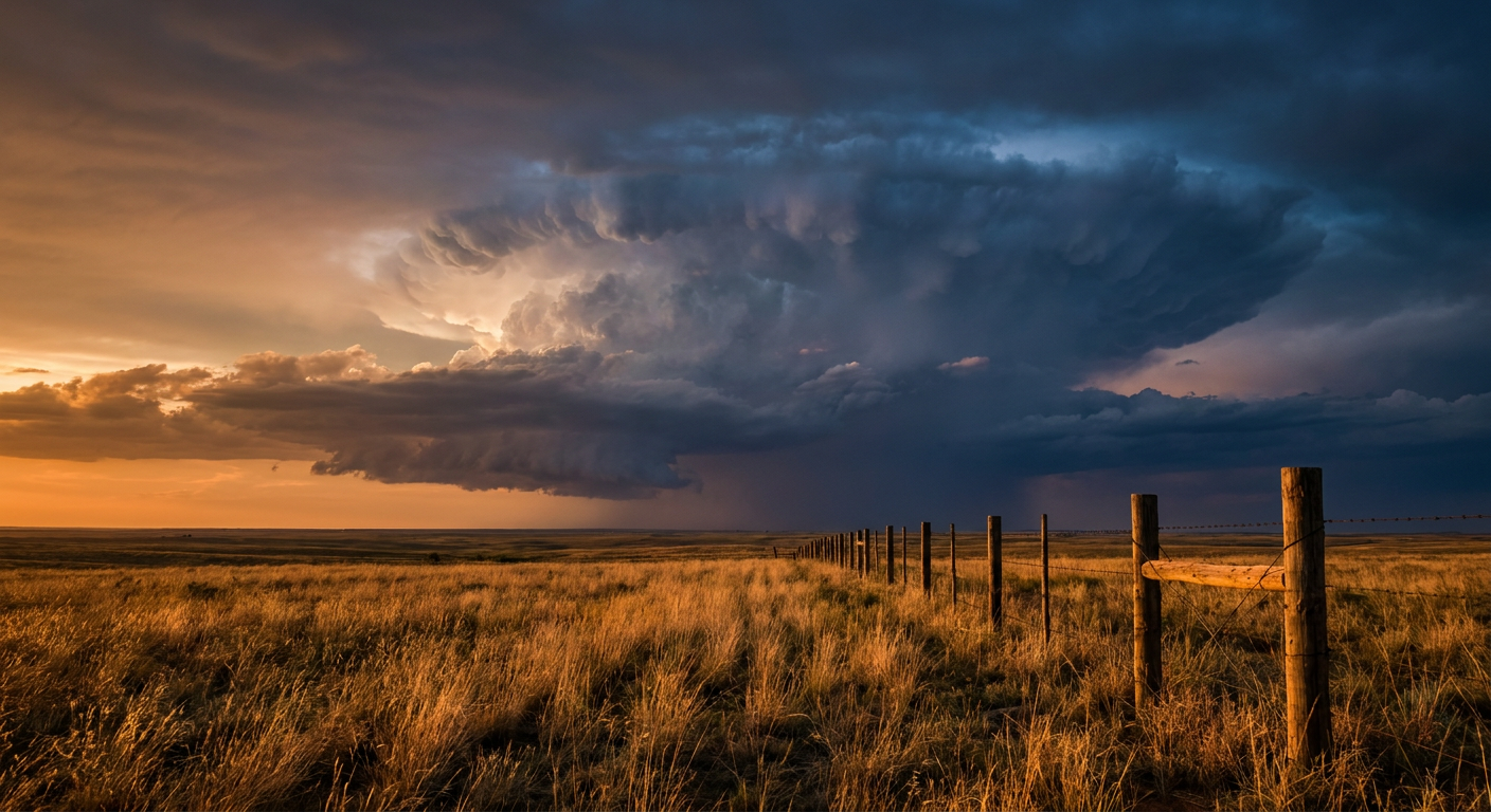
Vance Rapid-Intensifies Into a Hurricane While the Southwest's Storm Parade Rolls On
Alright y'all, two stories worth your coffee this morning. One's out over open water doing hurricane things. The other one's a pattern we've been tracking all week that just won't quit over the Desert Southwest.
Hurricane Vance Wakes Up Fast
Get this. Vance went from tropical storm to hurricane in a matter of hours. As of the 3 AM advisory, it's sitting about 440 miles south-southwest of Acapulco with 85 mph winds and a pressure of 982 millibars, moving north-northwest at a lazy 6 mph. NHC's forecast discussion says the inner core wrapped up tight overnight, with a complete ring of convection around the center. That's the kind of satellite presentation that makes forecasters sit up straight.
Here's the thing though. This storm isn't a U.S. threat. Vance is forecast to track north-northwest, staying offshore of mainland Mexico, and NHC's peak intensity guidance has it reaching Category 2 strength, around 105 mph, by Tuesday as it passes near the Mexican Pacific coast. Lázaro Cárdenas is under a "Prepare" tier in our impact model with a 3 to 4 in 10 chance of tropical storm force winds, mostly Saturday night into Sunday night. Manzanillo, Zihuatanejo, and Puerto Vallarta are all in an "Aware" tier with lower odds. No coastal watches are up yet, but that stretch of coastline should keep half an eye on this through the weekend.
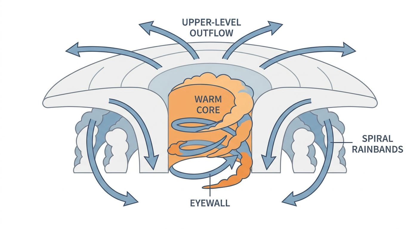
The Southwest's Severe Weather Pattern Isn't Finished
If you've been reading this week, you know the Southwest has had quite a run. Yesterday alone brought a 73 mph wind gust near Safford, Arizona, 1.75 inch hail in Hurley, New Mexico, tornado warnings across four counties in Arizona and five in New Mexico, and flash flooding that forced evacuations along Gould Wash in Hurricane, Utah, and Largo Wash in San Juan County, New Mexico. The Virgin River jumped from 400 cfs to 4,290 cfs in about 15 minutes. That's not a typo, that's just how fast these desert washes can turn dangerous.
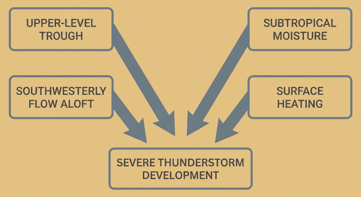
Today that same upper-level trough is still grinding through the region, and SPC has a Slight Risk posted for far west Texas, Albuquerque, Santa Fe, Alamogordo, and the Roswell area, with a Marginal Risk extending into southern Colorado. The setup supports large hail, including some stones potentially reaching 2 inches, isolated damaging gusts, and an isolated tornado or two if storms can organize. WPC has also drawn a Slight Risk for excessive rainfall across New Mexico, far west Texas, and southern Colorado today, meaning training storms could dump 1 to 3 inches in spots already saturated from this week's rain.
And it doesn't stop after today. SPC's Day 2 outlook shifts that Slight Risk toward El Paso, Roswell, Artesia, and Carlsbad for Saturday, with the rainfall threat following right along the same corridor into far western Kansas. Day 3 trims things back to Marginal as the upper low finally starts pulling away into the central Rockies.
Quick Hits Elsewhere
- Fire weather: A Critical Fire Weather area is up for northeast Wyoming, far southeastern Montana, and far western South Dakota today as a deepening surface low drives strong southwesterly winds into dry fuels.
- Nice weather day for most folks: High pressure has the eastern two-thirds of the country locked in for a gorgeous Friday. The Appalachians, Tennessee Valley, and Ohio Valley are about as good as it gets this time of year, with air quality being the only thing keeping anybody from a perfect score.
- Travel and sports: If you're headed to the Formula 1 United States Grand Prix in Austin today, you're in good shape. Texas hubs are expected to see smooth, delay-free flying conditions. Same story for the Marine Corps Marathon crowd heading to Arlington this weekend.
- Space weather: A weak G1 minor geomagnetic storm is winding down today as coronal hole influences fade, with mostly quiet conditions expected by Saturday. SWPC flags a low-confidence chance of unsettled conditions returning around October 25, so aurora chasers up north, keep that on your radar.
- Mountain snow ahead: The Pacific Northwest and Northern Rockies will see periods of high-elevation snow over the next several days, with Bozeman, Montana carrying a 15 percent chance of accumulating snow by day 5.
What We're Watching
- Vance's track and intensity as it nears Category 2 strength off Mexico's Pacific coast this weekend
- Storm mode and hail size across southern New Mexico and far west Texas through Saturday
- Flash flooding on already-saturated ground and burn scars across the Four Corners region
- Critical fire weather conditions across the northern Plains
- Any return of geomagnetic activity around October 25
Bottom Line
If you're anywhere near El Paso, Roswell, Alamogordo, or the Albuquerque corridor, keep your phone charged and know where you'd shelter if a warning pops. This pattern has already proven it can turn washes into rivers in minutes. Along Mexico's Pacific coast, Vance bears watching but isn't an emergency yet. Everybody else east of the Rockies, especially if you're headed to Austin for the Grand Prix or out enjoying the Appalachian fall colors, you've got about as nice a weather day as October offers.