Blog Article
Vance's Remnant Moisture Brings Flood Risk to AZ, Four Corners
Vance's leftover moisture fuels a building flood threat across Arizona and the Four Corners this weekend, with a Moderate excessive rainfall risk by Sunday.
Vance's Remnants Load Up the Southwest for a Soggy, Flood-Prone Weekend
Alright y'all, Vance is officially done. The National Hurricane Center dropped its final advisory on the remnants last night, 190 miles southwest of Mazatlan with 30 mph winds and no well-defined center left. That part of the story is over. But here's the thing about dying tropical systems: the wind quits first, the moisture doesn't. And Vance left behind a deep, juicy plume that's about to get wrung out over some ground that's already flood-weary.
The Big Story: A Building Flood Threat From Arizona to the Four Corners
WPC has a Slight Risk of excessive rainfall up today for central and eastern Arizona, southern Utah, and southwestern New Mexico. Scattered to numerous thunderstorms are expected across central and eastern Arizona this afternoon and evening, with widespread 1.5 to 3 inch totals and higher amounts possible where storms train over the same ground. That Slight Risk holds into Saturday as the moisture plume gets pulled northeastward by a Pacific low tracking toward Southern California.
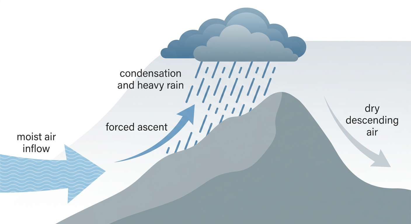
Then Sunday, the risk jumps a full category. WPC has posted a Moderate Risk of excessive rainfall for the Four Corners region, calling it a potential high-impact heavy rain event. Moisture running 4 to 5 sigma above normal will slam into the 14,000 foot peaks of Colorado's San Juan Mountains and get wrung out efficiently by the terrain. If that sounds familiar, it should. This is almost the same stretch of real estate that saw major San Juan River flooding back on October 23, when law enforcement estimated 1,500 structures impacted and ran more than 60 water rescues around Farmington, New Mexico. The ground up there does not need more water, and it's about to get a fresh round anyway.
SPC has a Marginal Risk of severe storms over Arizona today, mainly isolated damaging wind gusts and quarter-size hail (both at 5 percent, Level 1 on their scale). By Day 3 (Sunday), that Marginal Risk shifts east into central and eastern New Mexico and small parts of West Texas, covering El Paso, Albuquerque, Roswell, and Alamogordo.
Timeline: Friday Into the Weekend
- Today (Friday, Oct 30): Slight Risk of excessive rainfall and Marginal severe risk over central/eastern Arizona, including Phoenix and Tucson. Afternoon and evening thunderstorms with locally heavy downpours.
- Saturday (Halloween): Slight Risk continues across Arizona, expanding into the Southwest as Pacific moisture gets drawn northeastward ahead of an approaching trough.
- Sunday (Nov 1): Moderate Risk of excessive rainfall for the Four Corners, specifically the San Juan Mountains of southwest Colorado. This is the highest-confidence, highest-impact day of the stretch. Marginal severe risk also shifts into eastern New Mexico and West Texas, covering El Paso, Midland/Odessa, and San Angelo.
Our AI forecast desk also flags that the broader flood threat doesn't stop at Arizona. Texas, Oklahoma, New Mexico, the central Plains, Iowa, and the lower Mississippi Valley are all carrying some residual heavy rain and thunderstorm risk this weekend too, even without a formal SPC Day 2 category assigned yet.
If you're headed to the HEX Music Festival in Chandler, Arizona this weekend, or just going about normal business in the Phoenix/Tucson metro, keep an eye on the sky during afternoon hours. Flash flooding in washes, burn scars, and slot canyons is the real danger here, not the wind and hail.
Halloween Weekend Elsewhere: Mostly Fine, Just Cloudy
For trick-or-treaters outside the Southwest, Saturday looks unremarkable in a good way. Our internal "nice weather" outlook caps Halloween at a FAIR tier across the Mid-Atlantic, Great Lakes, Northeast, Rockies, and south Texas, mainly because cloud cover is stubborn, not because of any real hazard. A larger DECENT tier spans the Midwest, Gulf Coast, and Southeast under that same cool, dry air mass, just with higher rain chances and more persistent overcast. Nobody's getting rained out trick-or-treating, but nobody's getting a postcard sunset either.
For travelers, South Florida is the one spot catching a legitimate soaking. MIA is looking at hazardous IFR conditions Saturday with up to 3.5 inches of rain and morning thunderstorms, something to watch if you've got Halloween weekend flights through Miami or Fort Lauderdale. The New York City Marathon on Sunday and the Breeders' Cup wrapping up today in Lexington, Kentucky both look to be in good shape weather-wise.
Bonus: Aurora Watch for Halloween Night
Not strictly a ground-level forecast item, but worth a mention. NOAA's Space Weather Prediction Center has G1 (Minor) geomagnetic storming likely Saturday into Sunday as a coronal hole high-speed stream becomes geoeffective, with a Kp of 5 expected. If you're in the northern tier of the country with clear skies Halloween night, it's worth a glance north after dark. No guarantees, but conditions are favorable for a faint aurora display at higher latitudes.
What We're Watching
- Whether training thunderstorms repeat over the same Arizona and Four Corners terrain this weekend, the same pattern that's driven nearly every major flash flood event in the Southwest this month
- Rainfall totals in the San Juan Mountains Sunday, given how saturated that basin already is from the October 23 San Juan River flooding
- Any upgrade of the Day 2/Day 3 SPC outlooks as better model agreement comes in
- Flight delays at MIA and other South Florida airports Halloween weekend
- Continued coastal flooding potential along the Southeast Atlantic, where Charleston Harbor and Fort Pulaski have both seen moderate tidal flooding multiple times this month
Bottom Line
Vance is gone on paper, but its moisture is the whole ballgame in the Southwest this weekend. Arizona starts it off today with a Marginal severe and Slight flood risk, and by Sunday the real concern shifts to the Four Corners, where WPC has posted a Moderate Risk of excessive rainfall over ground that's still recovering from major river flooding two weeks ago. If you're in central Arizona, New Mexico, or the Four Corners region, have a flash flood plan ready, especially near washes, arroyos, and burn scars. Everybody else, Halloween looks cloudy but calm, and northern sky-watchers might get a bonus light show Saturday night.
https://ryanhallyall.com/blog/vances-remnants-load-up-the-southwest-for-a-soggy-flood-prone-weekend