Blog Article
Viral Snow Maps vs Reality: Fire Danger & Ice Threats Explained
Debunking viral 'wishcast' snow maps while covering the real Extreme Fire Risk in the Plains and ice threat for the Midwest. Evening update.
Viral Snow Maps, Real Firestorms & The Truth About Your Feed
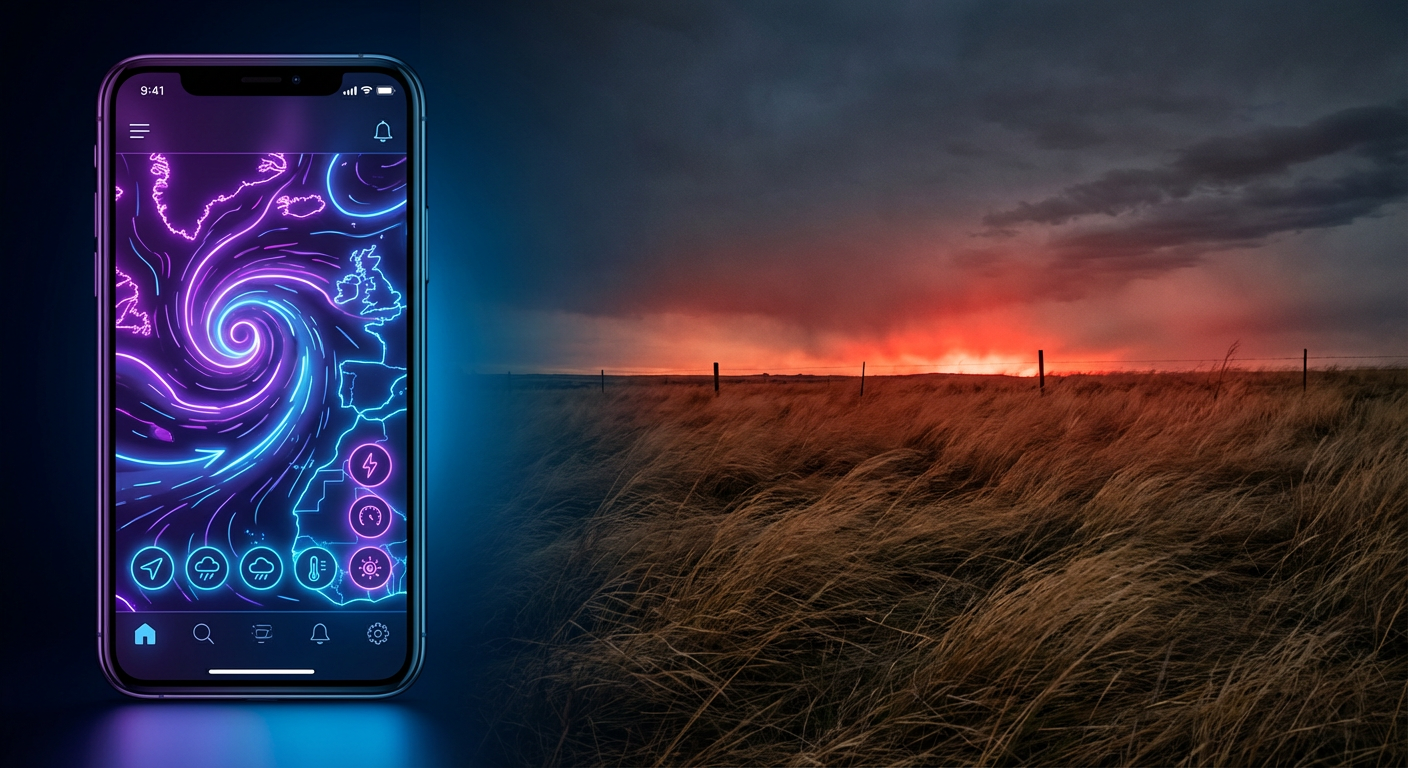
Alright folks, grab a seat. It is Tuesday evening and if your social media feed looks anything like mine, you are probably seeing some wild stuff right now. I'm talking about those neon purple weather maps predicting 40 inches of snow for places that haven't seen a flake in years.
Here is the thing. There is a trend called "wishcasting" going around. People share these "sparkly snowmaps of doom" because they want a snow day, or maybe they are just caught up in the Winter Olympics hype watching Amber Glenn skate. But while the algorithm is feeding you fantasy blizzards for next week, there is a very real, very dangerous situation happening right now that isn't getting enough likes.
The Real Danger: It's Not Snow, It's Fire
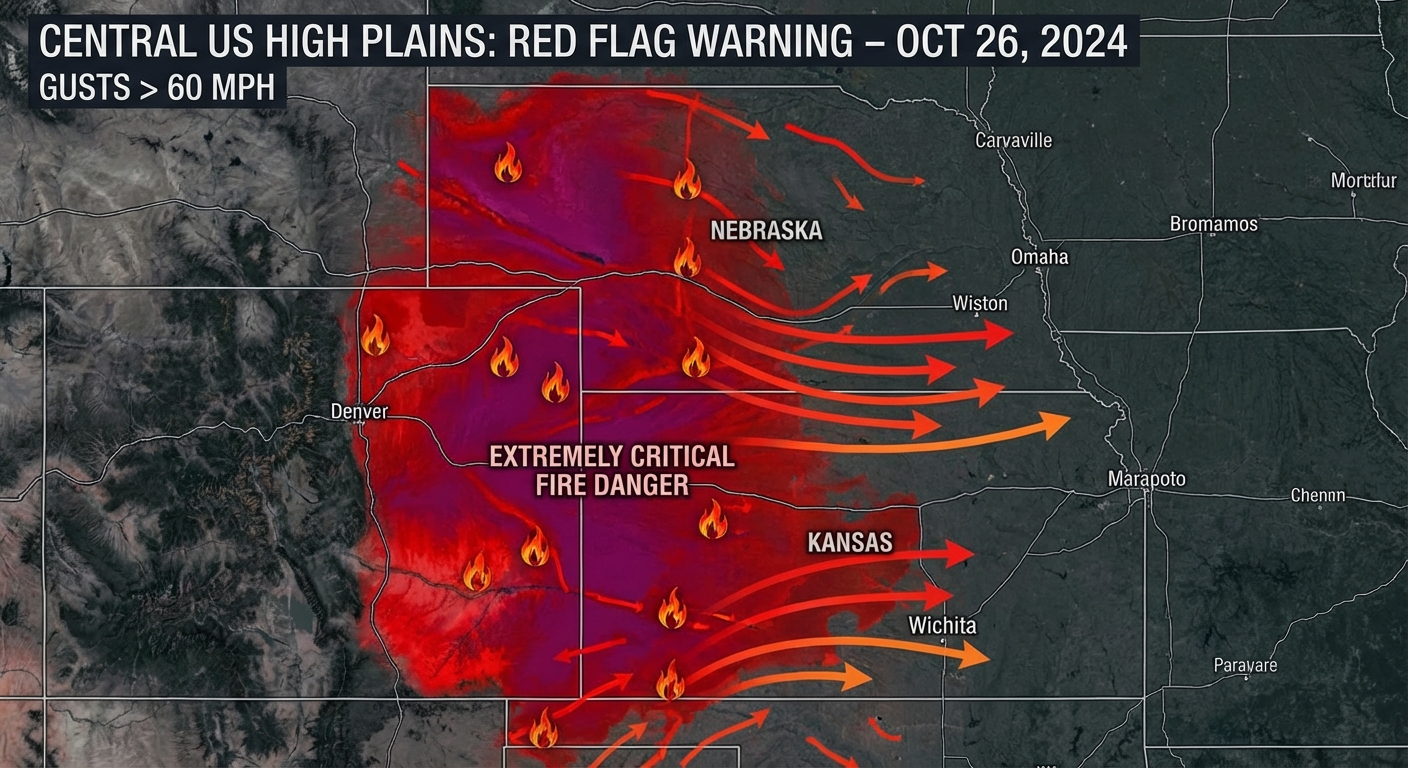
While everyone is looking for winter, parts of the country are dealing with a setup that looks more like a blowtorch. We have an Extremely Critical fire weather risk unfolding across Eastern Colorado, Southwestern Nebraska, and Western Kansas.
Get this. The relative humidity out there has dropped to single digits. We are talking 10% or lower. Combine that with wind gusts hitting 45 to 55 mph, and you have a recipe for disaster. If a spark happens out there tonight, it is going to move faster than you can run. This is the "Leo the Turtle" escaping the fire viral moment in real life, but on a massive scale.
The "Mess" Moving Midwest
Now, let's address that storm system moving out of the Rockies. The internet wants you to believe this is the "Big One" for snow lovers in the East.
Here is the reality check. As this low pressure system moves toward the Great Lakes and Ohio Valley over the next 48 hours, it is bringing a messy mix, not a winter wonderland. We are tracking a swath of freezing rain and ice potential for the Upper Midwest, specifically northern Michigan and parts of Upstate New York.
This isn't the pretty snow you see in the Milan Cortina Olympic promos. This is the heavy, power-outage kind of slop that makes driving a nightmare. If you are in the Ohio Valley, you are actually looking at a Slight Risk for severe thunderstorms by Thursday. Yes, tornadoes in February. Again.
Why The "Wishcasters" Are Winning
We are seeing a massive spike in fake weather graphics because we are in a transition season. The models are confused, the data is jumping around, and that uncertainty is content gold for people who want clicks.
It is the same reason the "Winter Games on thin ice" story is trending. We are all trying to figure out what normal looks like anymore. We just had record warmth in the South and historic snow in the Sierra at the same time. It is confusing.
The Bottom Line
Don't share the scary map unless you verify it with a trusted source. If you are in the High Plains tonight, keep your phone on and have a bag packed just in case. The fire threat is the headline story right now, no matter what TikTok says.
Stay safe out there, y'all.
https://ryanhallyall.com/blog/viral-snow-maps-real-firestorms-the-truth-about-your-feed