Blog Article
East Pacific Tropics and Plains Severe Storms Update
An Eastern Pacific tropical disturbance is brewing, while the Central Plains face a Slight Risk of severe storms with two-inch hail and 75 mph winds today.
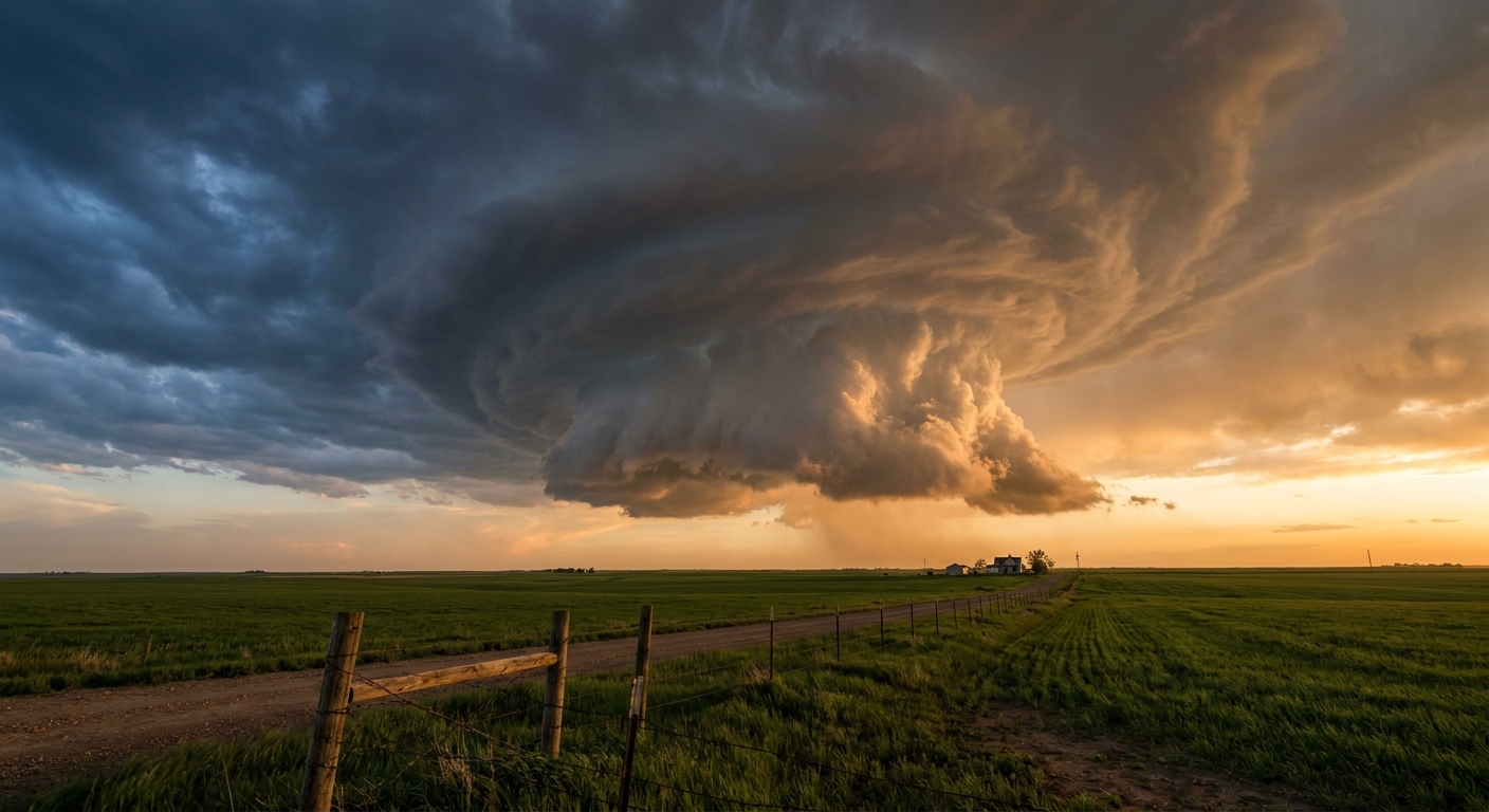
Watching the East Pacific, Plus Big Hail Threats for the Plains
Alright y'all, we have a few different things on the board this morning. I want to start by looking way out to the southwest. The National Hurricane Center is watching a broad area of low pressure in the Eastern Pacific, well southwest of the Baja California peninsula. It has an 80 percent chance of developing into a tropical depression over the next seven days. It is not an immediate threat to the US coast, but it shows the tropics are definitely waking up.
Closer to home, we are still dealing with that active setup we talked about yesterday. Friday brought 77 mph wind gusts and baseball-sized hail to the Texas Panhandle. Today, the bullseye shifts a bit farther north.
The Central Plains Dryline
Get this. The Storm Prediction Center has a Slight Risk posted from the Central High Plains right down through central Kansas and north-central Oklahoma. If you live in Wichita, Salina, or Enid, you need to have a plan ready for this afternoon and evening.
Temperatures around Oklahoma City normally sit near 80 degrees this time of year. That warm spring air is giving these storms plenty of fuel. When they fire up later today, they could get nasty fast.
Here is the thing. We have a 15 percent chance for severe hail, and there is a specific hatched area where hailstones could exceed two inches. That is hen-egg size, folks. We also have a hatched area for damaging winds up to 75 mph. There is a 2 percent chance for tornadoes, and any that form in that hatched zone could reach EF2 intensity. If you are heading out to a local baseball game or running errands across Kansas or Oklahoma today, keep a close eye on the radar.
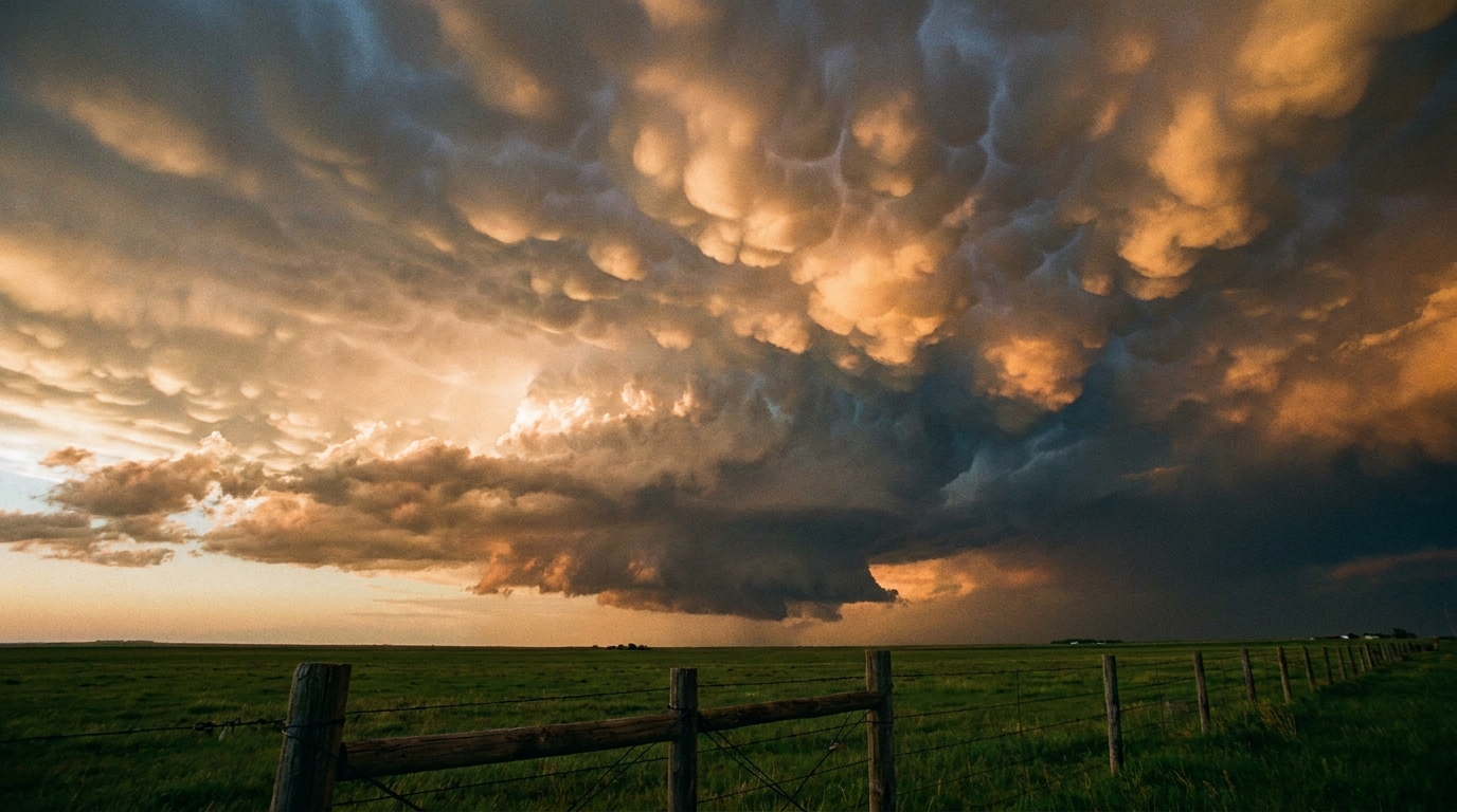
Sunday Shifts to the Missouri Valley
Tomorrow, the main mid-level energy lifts into the Mid-Missouri Valley. We are looking at another Slight Risk for places like Omaha, Sioux Falls, and Council Bluffs. The main threats Sunday will be large hail and damaging wind gusts again. There is another hatched area for two-inch hail, so folks in eastern Nebraska and southeast South Dakota need to be ready to protect their vehicles.
Heavy Rain in Montana
I also want to mention the Northern Rockies. The Weather Prediction Center has a Slight Risk for excessive rainfall up in Montana today. A slow-moving system is going to drop some intense rain rates. That could lead to localized flash flooding in the higher terrain, especially in eastern Montana.
The Bottom Line
If you are in the Plains this weekend, park the car under a sturdy roof. Have multiple ways to get warnings that will wake you up if you are asleep. The severe threat is not a panic situation, but it is absolutely a day to pay attention to the sky.
https://ryanhallyall.com/blog/watching-the-east-pacific-plus-big-hail-threats-for-the-plains