Blog Article
Weather Update: SW Heat Wave, Plains Fire Risk & Northeast Clippers
From record blizzard recovery in the East to 90-degree heat in Arizona, we break down the extreme weather pattern flip impacting the US this week.
Weather Whiplash: From Record Snow to Desert Heat & Fire Danger
Alright folks, let's take a breath. What a week it has been. If you have been following along, we talked about that bomb cyclone locking in for the Northeast, and man, did it deliver. We saw nearly 38 inches of snow in Warwick, Rhode Island. That is a state record. If you are still digging out in New England, take it easy today.
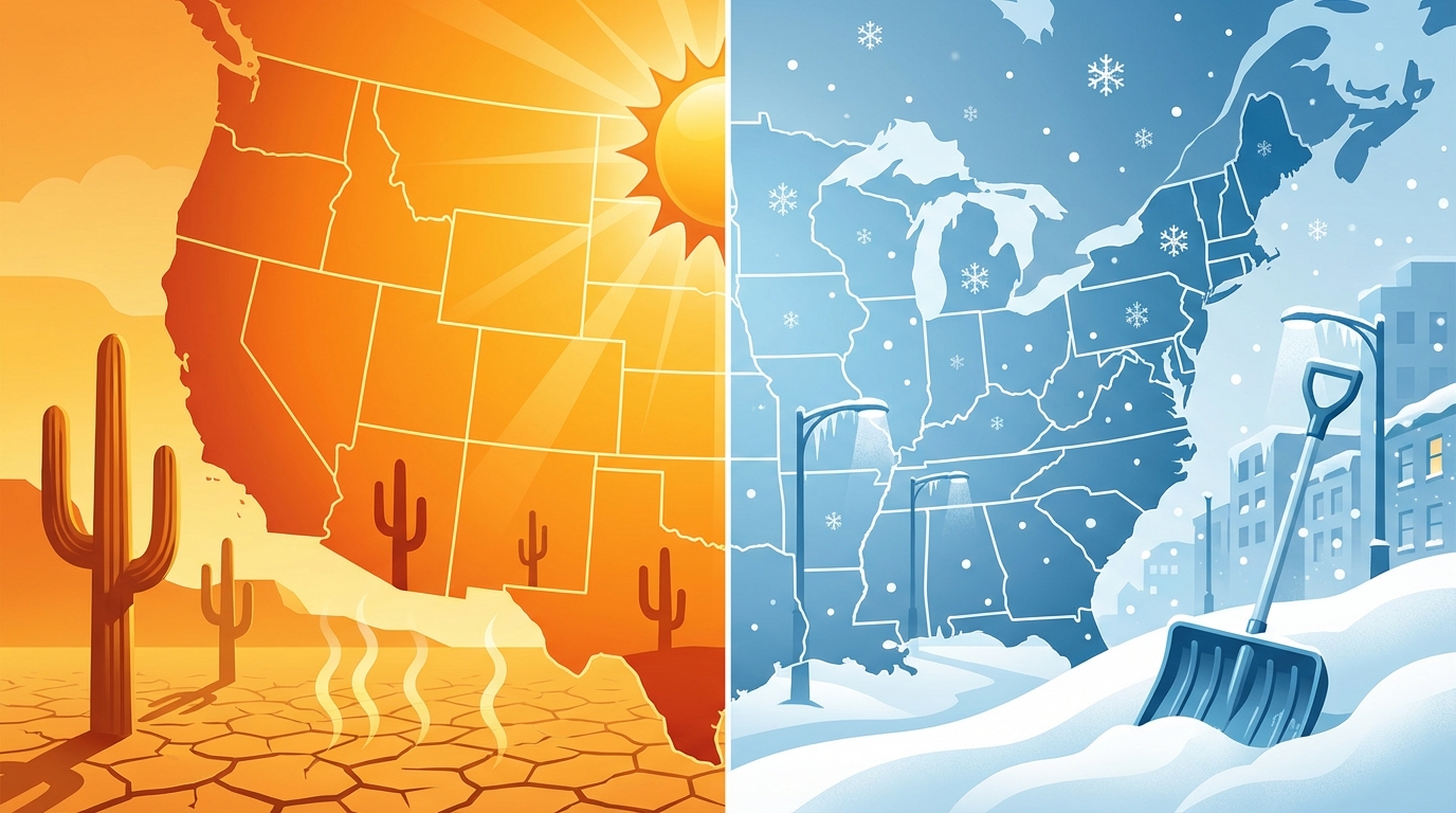
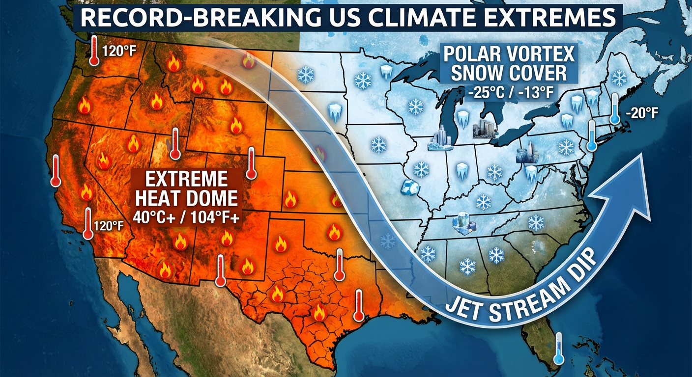
But here is the thing. The weather doesn't stop, and we are seeing a massive pattern flip that is going to give the country a serious case of whiplash. We have heat building in the West, fire danger in the Plains, and yes, even more snow chances for the East.
The Southwest Heat Dome is Here
While folks in Boston are still finding their cars, the script is completely flipped out West. A massive ridge of high pressure is parking itself over the Southwest. We are talking about temperatures soaring into the 90s for parts of Arizona and Southern California today and tomorrow.
If you are lucky enough to be out at Spring Training today—maybe catching the Rockies at the Cubs in Mesa or the Dodgers at the Diamondbacks—you need to treat this like summer. Sunscreen and water are mandatory. It is February 25th, but Mother Nature thinks it is June out there.
Critical Fire Danger in the Plains
Here is the dangerous side of this pattern. Between that heat in the West and the colder air East, we have got a zone of very dry, windy conditions. The Storm Prediction Center has issued a Critical Fire Weather outlook for today, specifically for East-Central and Southeastern New Mexico into far West Texas.
We are looking at sustained winds of 20-30 mph and relative humidity dropping below 20%. This includes areas like Roswell and Hobbs. If you are in these areas, please do not do anything that could spark a flame. The vegetation is dry, and fires can spread fast in these conditions.
The Next Threat: Clippers & A Weekend System
Back East, we aren't done with the wintry precip yet. There is a clipper system diving out of Canada today. It is going to bring some light to moderate snow to the Great Lakes and eventually the Northeast high country. It won't be anything like the monster we just saw, but it is enough to slick up the roads again.
Looking ahead to the weekend, we are watching a complex setup. Moisture is going to try to return to the Plains starting Saturday. By Sunday into Monday, we could see a system bringing a wintry mix from the Mississippi Valley over to the Mid-Atlantic.
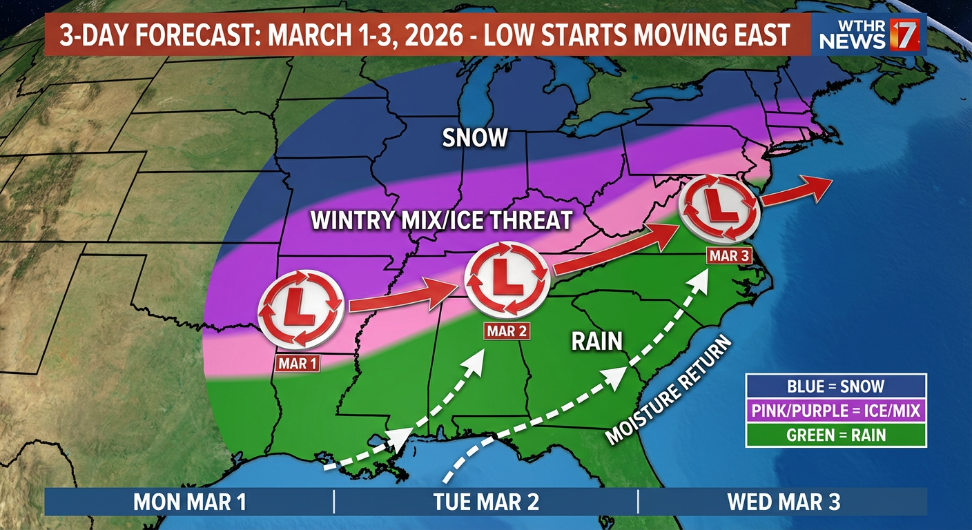
For those of you headed to the Queen City Lemon Drop Festival in Charlotte or the Beer Fest in Chicago this Saturday, keep an eye on the sky. The pattern is active, and things are moving fast.
The Bottom Line
- Northeast: You aren't fully in the clear. A clipper brings light snow today, and we are watching another system for early next week.
- Southwest: Excessive heat is the story. Highs in the 90s for Arizona. Stay hydrated.
- Southern Plains: Critical fire danger today in NM and West TX. No outdoor burning.
- The Big Picture: We are transitioning from a historic blizzard to a more progressive, fast-moving pattern. Stay tuned to the forecast.
Stay safe out there, y'all!
https://ryanhallyall.com/blog/weather-whiplash-from-record-snow-to-desert-heat-fire-danger