Blog Article
Texas Severe Storms and Sierra Snow: Weekend Weather
Severe storms and heavy rain threaten Texas festivals this weekend, while the Sierra Nevada prepares for feet of snow and dropping snow levels.
Weekend Storms Target Texas Festivals While the Sierras Get Buried
Yesterday we talked about the sharp divide between the gorgeous Southeast and the stormy Central Plains. Well, that boundary is about to get a lot more active just in time for the weekend. If you have outdoor plans in Texas or Oklahoma, you need to pay attention to the radar.
We have a classic spring setup taking shape. A large upper-level trough is digging into the West Coast, and it is pumping a ton of Gulf moisture up into the Plains.
The Texas and Oklahoma Severe Threat
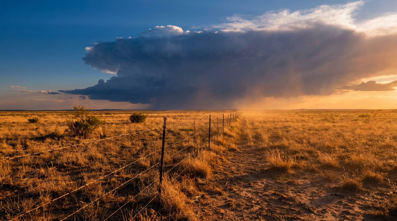
Tomorrow is Saturday, and the Storm Prediction Center has a Level 2 out of 5 Slight Risk for severe storms across Southeast New Mexico and West Texas. Midland, Odessa, and San Angelo are right in the crosshairs.
If you are heading out to the Basin Red Dirt BBQ and Music Festival in Midland tomorrow, you need to have a weather plan. A sharpening dryline is going to spark scattered thunderstorms in the afternoon and evening. The main threats are going to be large hail and wind gusts up to 70 mph. The tornado risk is low at around 2 percent, but it is not zero.
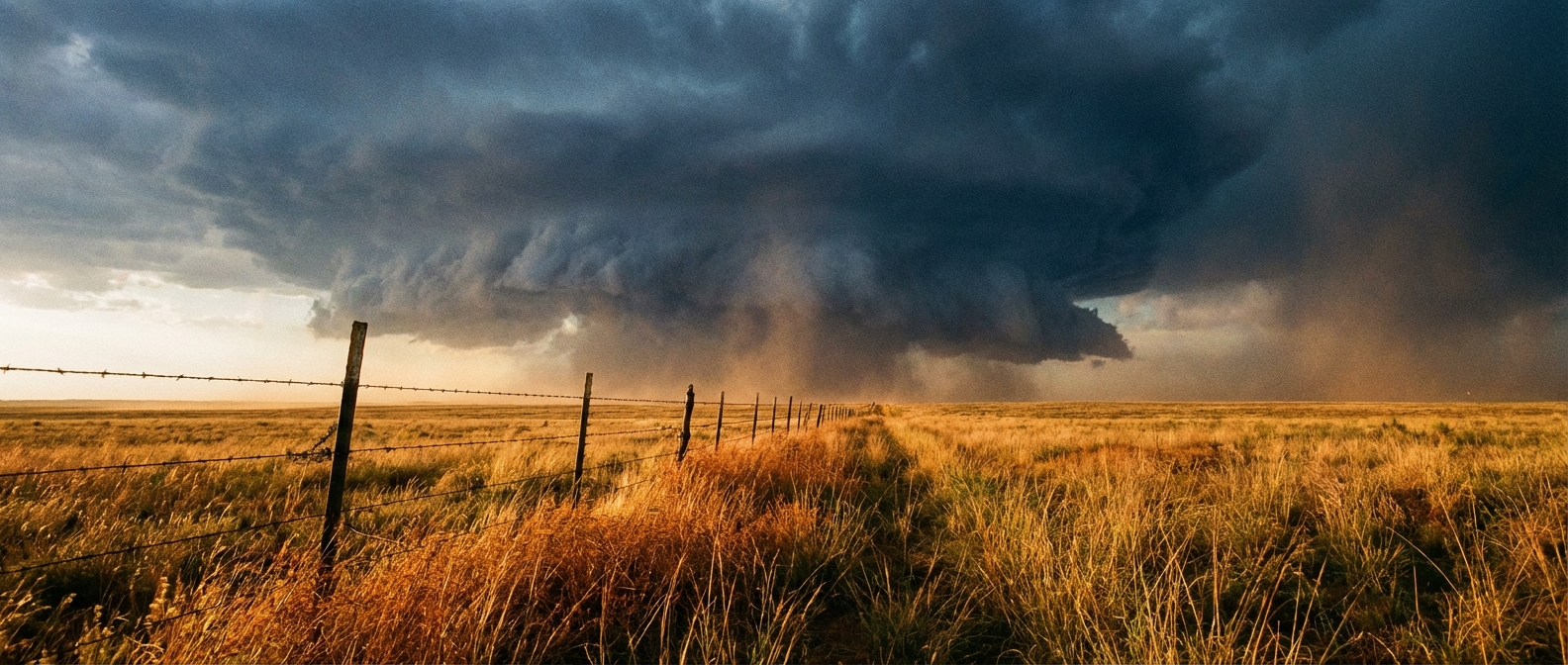
It is not just the wind and hail we are watching. The Weather Prediction Center has a Slight Risk for excessive rainfall tomorrow from the Concho Valley right up to the Red River Valley in southern Oklahoma. We could easily see 2 to 4 inches of rain in these areas. That is absolutely enough to cause localized flash flooding, especially if storms train over the same spots.
By Sunday, that severe threat shifts east. The SPC has another Slight Risk drawn up for Kansas, Oklahoma, and central Texas. Folks heading to the Breakaway Music Festival in Dallas on Sunday will need to keep a close eye on the sky.
Winter Holds On in the West
Out west, winter is flat out refusing to quit. A strong upper low is dropping down from the Gulf of Alaska and moving into Northern California.
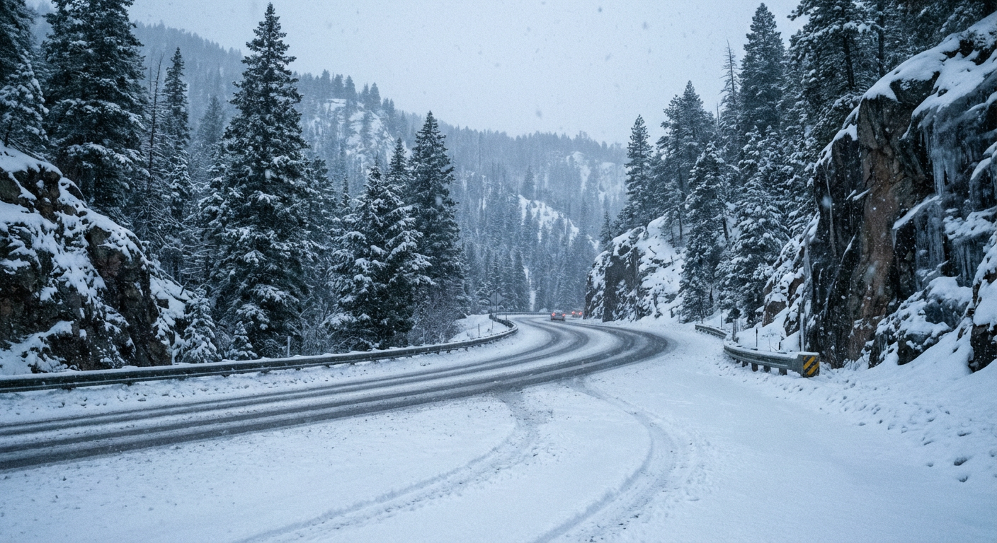
The Sierra Nevada is going to measure snow in feet this weekend. Get this. Snow levels are starting high today around 9000 feet, but as colder air filters in, those levels are going to crash down to 4500 feet by Sunday morning.
- Travel Impacts: Interstate 80 and the major mountain passes are going to become incredibly difficult to navigate.
- Lower Elevations: The valleys are not missing out on the moisture. Lower elevations in California will see 1 to 2 inches of cold rain.
The Southeast Stays Spectacular
I do want to share some good news for the East Coast. That massive ridge of high pressure is still firmly in control from the Ohio Valley down through the Southeast. If you are going to the Tortuga Music Festival in Florida or just grilling in the backyard in Georgia, you have zero precipitation to worry about. It is going to be warm, dry, and beautiful.
Bottom Line
If you are in West Texas tomorrow or the I-35 corridor on Sunday, have a reliable way to get weather warnings. Do not rely on outdoor sirens if you are at a loud music festival. Keep your phone charged and alerts turned on. For folks in California, finish your mountain travel today before the heavy snow really sets in this weekend.
https://ryanhallyall.com/blog/weekend-storms-target-texas-festivals-while-the-sierras-get-buried