Blog Article
Severe Storms Target Texas Today, Shift to Plains Saturday
A Slight Risk for severe storms brings 75 mph wind threats to West Texas today before shifting to Nebraska. Heavy rain and flooding continue in the Southeast.
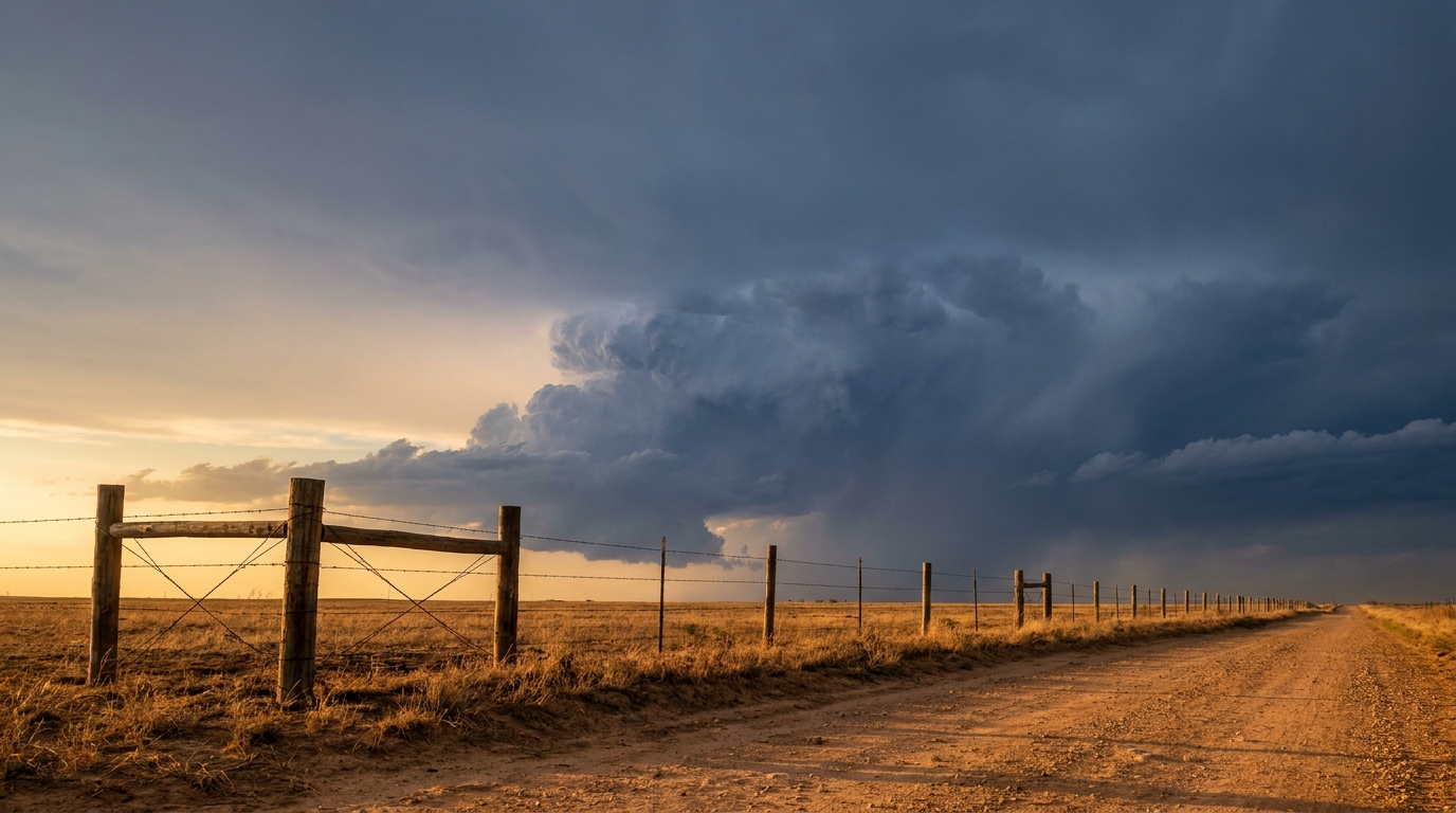
West Texas Wind Threat and a Weekend Shift to the Plains
Alright y'all, we are tracking a busy end to the week. Yesterday brought some wild 80 mph wind gusts to Oregon, but today the atmosphere is shifting its focus back to the middle of the country.
We have a classic late-spring setup taking shape across the Plains. If you live in West Texas, you need to be weather-aware this afternoon and evening.
West Texas Wind Threat Today
The Storm Prediction Center has a Slight Risk posted for places like Lubbock, Midland, and Odessa. The main hazard here is going to be damaging wind.
Here is the thing you need to know. We have a 15 percent probability for severe wind gusts in this area. But inside that zone, there is a hatched area. That means if a storm gets going, it has the right ingredients to produce wind gusts of 75 mph or higher. That is strong enough to knock down tree limbs and cause power outages.
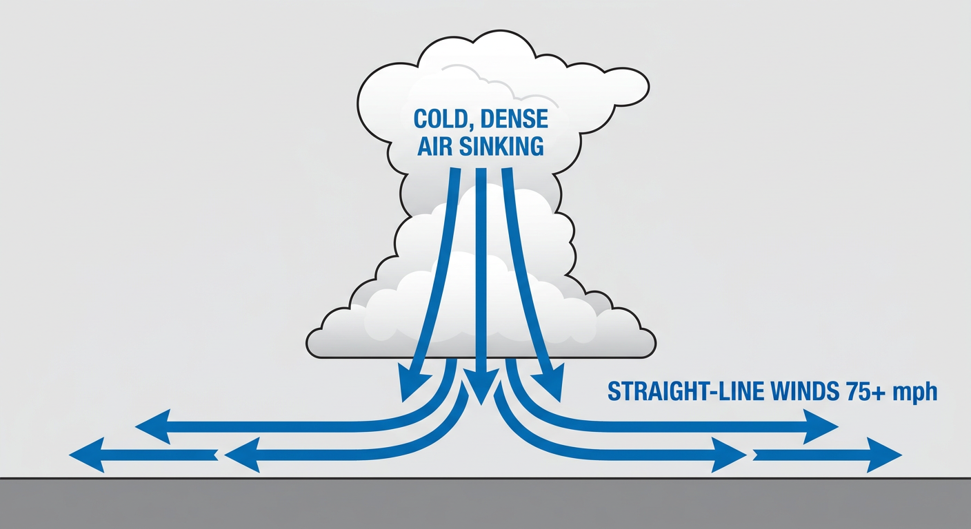
If you are heading out to Friday night plans in West Texas, make sure your phones are charged and you have a way to get warnings. There is also a 5 percent chance for some quarter-size hail, so parking the car in the garage is not a bad idea. Temperatures in places like Dallas are running right around their normal 84 degrees, but the real storm energy is out west.
Saturday Shifts North
By tomorrow, the severe weather threat jumps northward. A mid-level low is going to swing into Wyoming, and that will pull the severe risk into western and central Nebraska, along with southern South Dakota.
Places like North Platte and Rapid City are under a Slight Risk for Saturday. The environment up there is looking pretty volatile. We are talking about the potential for supercells capable of dropping large hail and producing severe wind gusts. There is also a 2 percent chance for an isolated tornado. If you have outdoor weekend plans in the High Plains, keep a close eye on the sky tomorrow afternoon.
Southeast Soakers Continue
As we talked about yesterday, the Southeast is still dealing with a whole lot of water. That slow-moving front is hanging around, and it is pulling in deep moisture from the Gulf.
The Weather Prediction Center has kept a Slight Risk for excessive rainfall today, but the focus has shifted a bit toward the Georgia and South Carolina coast. The ground is already saturated from storms earlier this week. It will not take much to cause localized flash flooding, especially in poor drainage areas. If you are driving I-95 down the coast today, expect some heavy downpours and leave early for your commute.
The Good Stuff
Now, I want to give some good news. If you are in the Great Lakes or the Ohio Valley, you have hit the weather jackpot. A sprawling high-pressure system is sitting right over y'all.
If you are heading to the Breakaway Music Festival in Columbus today, or catching the Braves play the Reds in Cincinnati tonight, conditions are absolutely perfect. Highs in the region are sitting comfortably near their late-May normals, with places like St. Louis topping out right around that 76-degree mark. Just remember the sunscreen this afternoon, because the UV index is sitting near an 8.
Bottom Line:
- West Texas: Have a plan for 75+ mph wind gusts this afternoon and evening. Secure loose outdoor items.
- Central High Plains: Stay alert Saturday for supercells, large hail, and an isolated tornado threat.
- Southeast Coast: Watch out for localized flash flooding and ponding on roads today.
- Ohio Valley: Enjoy the pristine weather, but wear sunscreen if you are outdoors.
https://ryanhallyall.com/blog/west-texas-wind-threat-and-a-weekend-shift-to-the-plains