Blog Article
Severe Storm Risk Levels Explained: Level 1 to Level 5
Learn what Level 1 Marginal to Level 5 High mean on a severe storm outlook, what counts as severe, and what to do at each level, in plain words.
What the severe storm risk levels mean, Level 1 to Level 5
The severe storm outlook categorizes the risk in your area on a scale from Level 1 (Marginal) to Level 5 (High). A higher number reflects severe storms that are more widespread, persistent or intense. A severe storm is one that produces hail 1 inch across or larger, wind gusts of 58 mph or more, or a tornado.
The short version
- The scale runs Level 1 Marginal, Level 2 Slight, Level 3 Enhanced, Level 4 Moderate, Level 5 High.
- The number is about the coverage and intensity of severe storms, not how likely it is to rain.
- A storm counts as severe if it has 1 inch hail, 58 mph gusts, or a tornado.
- Even on a Level 1 or Level 2 day, a single storm can cause real trouble where it passes.
- A watch means be ready. A warning means act now.
What counts as a severe storm
Most thunderstorms are not severe. They bring lightning, rain and some gusty wind, and they pass. A thunderstorm becomes severe when it produces at least one of three things: hail 1 inch in diameter or larger, wind gusts of 58 mph or more, or a tornado.
On the outlook map, areas with ordinary thunderstorms show as "general thunderstorms" with no number. That means storms are expected, but severe ones are not.
The five levels
The Storm Prediction Center draws these levels. Each one comes from the odds of tornadoes, damaging wind and large hail within 25 miles of a point.
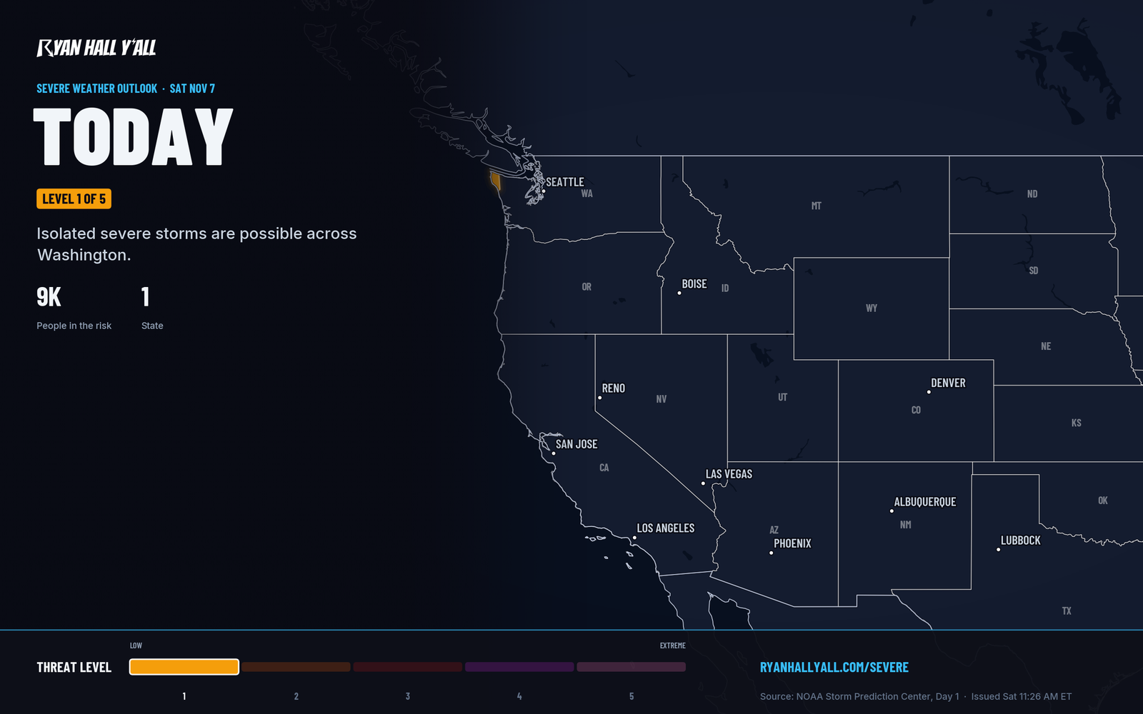
- Level 1 of 5 (Marginal): Isolated severe storms are possible. They will be limited in how long they last, how widespread they are, or how strong they get.
- Level 2 of 5 (Slight): Scattered severe storms are possible. They tend to be short-lived or not widespread, though an isolated intense storm can happen.
- Level 3 of 5 (Enhanced): Numerous severe storms are possible. They are more persistent or more widespread, and a few can be intense.
- Level 4 of 5 (Moderate): Widespread severe storms are likely. They are long-lived, widespread and intense.
- Level 5 of 5 (High): Widespread severe storms are expected. They are long-lived, very widespread and particularly intense.
Flash flooding has its own separate scale with four levels. You can find it on our flash flood outlook.
How to read the map
This map is an example of what an outlook looks like. Each shaded area carries a level, and the highest level in a region tells you how much to plan around. Day 1 outlooks are updated several times a day, and outlooks run out to day 8. The farther out you look, the more the picture can shift, so check back as your day gets closer.
One thing trips people up. The level describes how widespread and organized the threat is across an area. It does not promise your town will be spared on a low-level day, or hit on a high-level one. A lone storm on a Level 1 day can still drop hail or knock down a tree.
Watches and warnings
The outlook gives a heads-up before storms. Watches and warnings are what you act on the day of.
- Watch: Conditions are favorable for severe storms or tornadoes to develop. Watches cover large areas, often many counties, for several hours. Be ready.
- Warning: The hazard is happening or about to happen. A warning covers a specific area drawn around the threat, usually for 30 to 60 minutes. Act now.
Two rare labels can appear in watch and warning products. A PDS watch, short for "particularly dangerous situation," is used when confidence is high in multiple strong or violent tornadoes or widespread, intense damaging winds. A tornado emergency means a confirmed large tornado is headed for a populated area, with catastrophic damage expected.
What to do
Level 1 (Marginal): Keep an eye on the sky and keep your plans. Know which room in your home you would use for shelter.
Level 2 (Slight): Turn on weather alerts on your phone and keep it charged. If you are heading outdoors, know where the nearest sturdy building is. Bring in light patio furniture if storms are on the way.
Level 3 (Enhanced): Have a plan before storms start. Know your shelter spot, keep shoes and a flashlight close, and check the timing so you are not caught at a ball field, on a lake or on the road when storms arrive. Consider moving outdoor events.
Level 4 (Moderate): Treat it as a plan-around day. Decide ahead where you and your family will shelter, and make sure alerts will wake you if storms come overnight. Shift travel and outdoor plans out of the storm window if you can. If you live in a mobile home, pick a sturdy building to go to before the storms arrive.
Level 5 (High): This is the rarest level. Plan to be near sturdy shelter through the whole risk window and skip unnecessary travel. Do not wait for a warning to decide where you will go.
At any level: When a warning is issued for your location, go to the lowest floor of a sturdy building, in an interior room away from windows. Do not wait to see the storm. If you are driving, do not try to outrun a storm, and never drive into water covering the road.
You can sign up for free Y'all Alerts and see every active warning live. To see how the risk looks for your area, check the severe storm outlook.
https://ryanhallyall.com/blog/what-the-severe-storm-risk-levels-mean