Blog Article
Midwest Severe Storms Threaten Chicago Flights & Festivals
An Enhanced Risk for severe weather targets the Midwest on Wednesday, bringing 75 mph winds, tornadoes, and major flight delays to Chicago and Minneapolis.
What Tomorrow's Midwest Storms Mean for Chicago Flights and Festivals
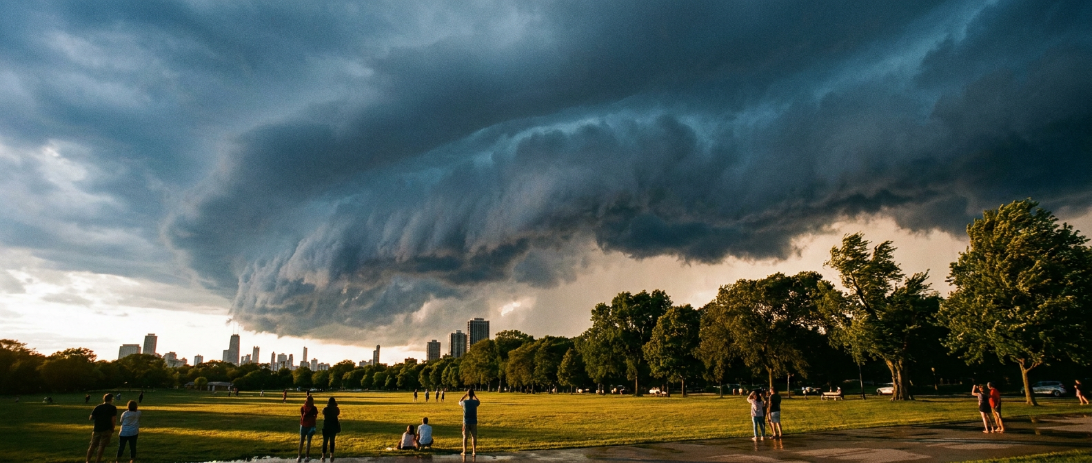
Alright folks, we need to talk about tomorrow. If you live in Chicago or plan on visiting, you know the Grant Park Music Festival is a massive summer tradition. It kicks off tomorrow night right in the heart of the city. But the atmosphere is setting up a pretty volatile roadblock for anyone planning to lay out a blanket on the lawn.
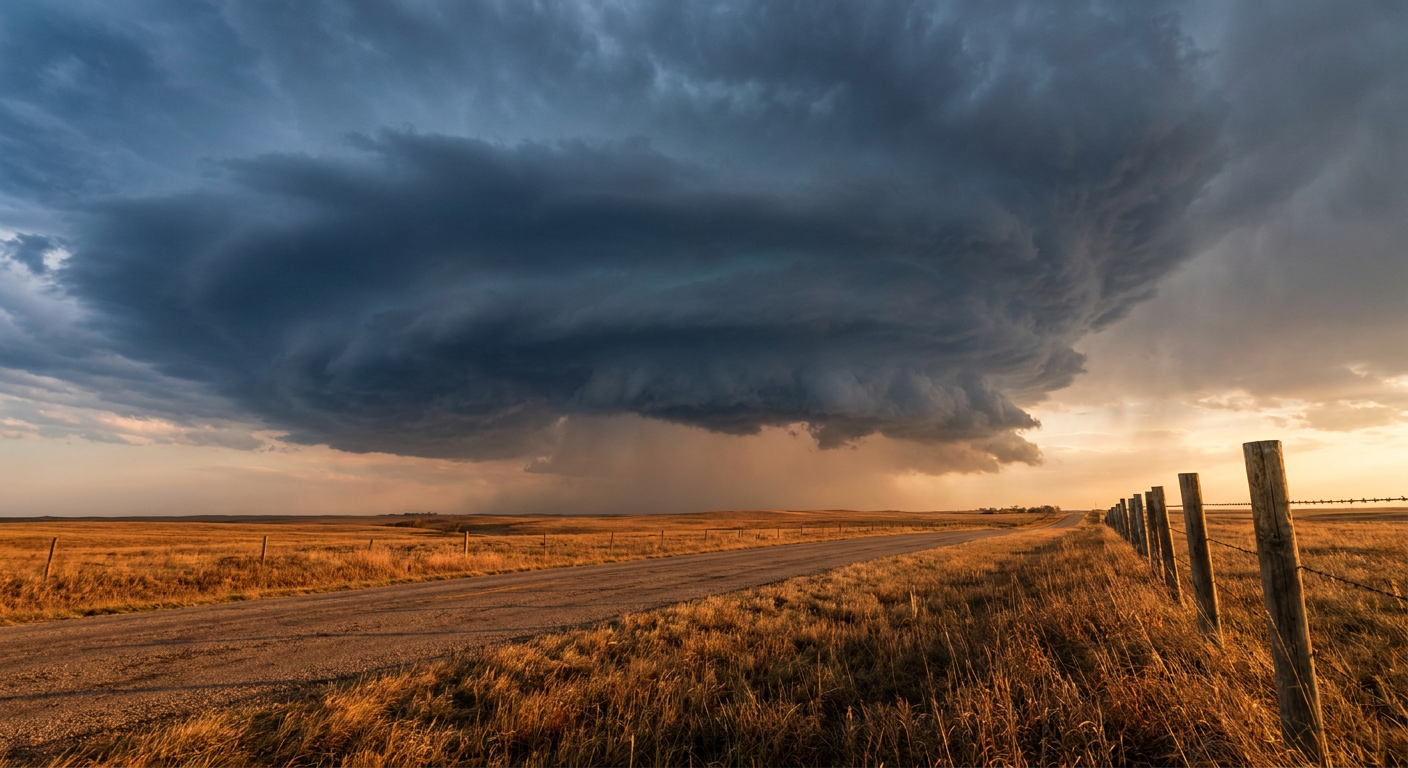
The Storm Prediction Center has placed a large chunk of the Upper Mississippi Valley and Midwest under an Enhanced Risk for severe weather for Wednesday. That includes Chicago, Milwaukee, and the Twin Cities.
Chicago usually sees highs right around 80 degrees this time of year. Tomorrow, an upper-level trough is going to interact with a very warm, humid airmass. That combination is going to spark scattered to numerous severe thunderstorms by the afternoon.
Here is how this is likely to play out. The storms will probably start as discrete supercells across eastern Minnesota and Wisconsin. In that initial phase, the main threats are large hail over two inches in diameter and tornadoes. The data shows a 10 percent probability for tornadoes in the highest risk area, and the environment supports the potential for strong tornadoes reaching EF2 intensity or higher.
As the sun goes down, those individual storms are expected to merge into a solid line and sweep southeast toward northern Illinois and eastern Iowa. That is when the wind threat takes over. We have a 30 percent significant risk area for severe wind, meaning gusts could exceed 75 mph. That kind of wind easily brings down trees and power lines.
The Ripple Effect on Summer Travel
This setup is going to cause a massive headache for air travel. The aviation outlook highlights severe ground stops and cascading delays at major hubs like Chicago O'Hare, Chicago Midway, and Minneapolis-St. Paul.
When you have a line of destructive thunderstorms moving through the airspace of the busiest airports in the country, the delays do not just stay in the Midwest. They ripple out to the East Coast and the West Coast. If you have a flight connecting through Chicago or Milwaukee tomorrow evening, you need to check your airline app early and often. Have a backup plan ready.
Tropical Storm Cristina Brings Flooding Down South
I want to shift gears for a minute because a lot of you are asking about the trending news out of Central America. Tropical Storm Cristina is currently drifting erratically near the coast of northwestern Nicaragua.
The maximum sustained winds are hovering around 40 mph. Wind is not the main story with this system. The real issue is the water. Cristina is dumping heavy rain over Guatemala, El Salvador, and Nicaragua. That brings a very serious risk of flash flooding to a highly vulnerable region. The heavy rain is expected to continue for the next couple of days as the storm slowly meanders.
We also have the remnants of Post-Tropical Cyclone Boris decaying over southern Mexico, bringing its own flash flooding threat to the area east of Acapulco. The Eastern Pacific is incredibly active right now, and we are watching it closely.
Have a way to get warnings tomorrow that will wake you up if you live anywhere from Minneapolis down to Chicago. Make sure your phones are charged before the storms arrive.
https://ryanhallyall.com/blog/what-tomorrows-midwest-storms-mean-for-chicago-flights-and-festivals