Blog Article
Alabama Power Outages & Southeast Severe Weather Threat
Alabama power outages are trending as severe storms bring 70 mph winds to the Southeast. Plus, a look at tomorrow's hail threat in the Northern Plains.
Why Alabama Is In The Dark: The Hidden Cost Of Summer Storms
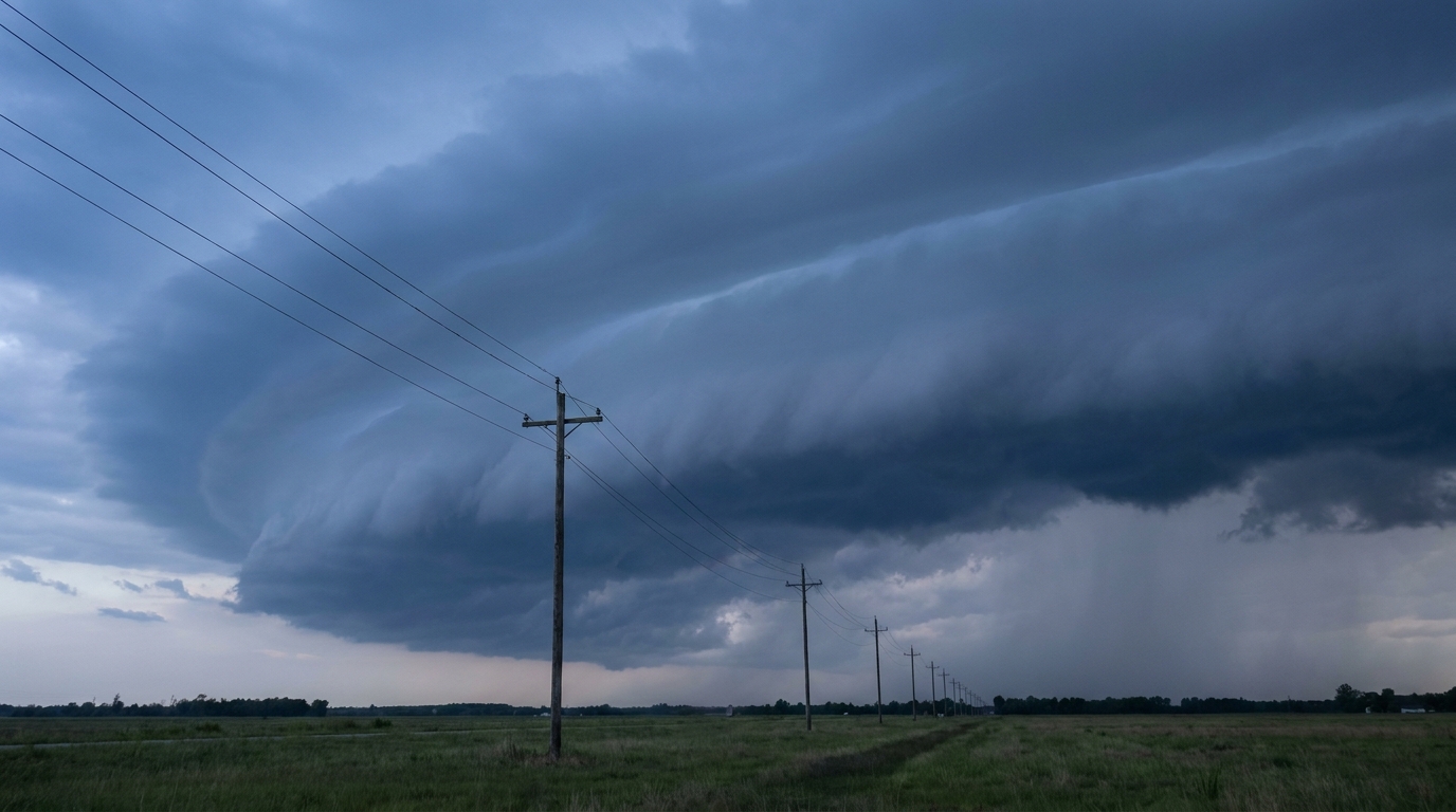
Y'all might have seen "Alabama power outage" trending online tonight. If you live down near Birmingham, you probably know exactly why. We have a Slight Risk for severe storms draped across the Southeast today, and the main culprit doing the damage is wind.
Here is the thing about severe weather. Tornadoes get all the attention on social media. They look dramatic on camera. But straight-line winds are the ones that actually disrupt your week. A 60 mph wind gust will take down a water oak right onto a power line, and that is exactly what we are seeing across the Mid-South and Southeast tonight.
The Southeast Wind Threat
The Storm Prediction Center has a Slight Risk covering places like Memphis and Birmingham. The data shows a 30 percent chance of severe wind gusts in the highest risk areas. There is even a hatched area where some spots could see gusts over 75 mph. That is hurricane-force wind coming from a regular summer thunderstorm.
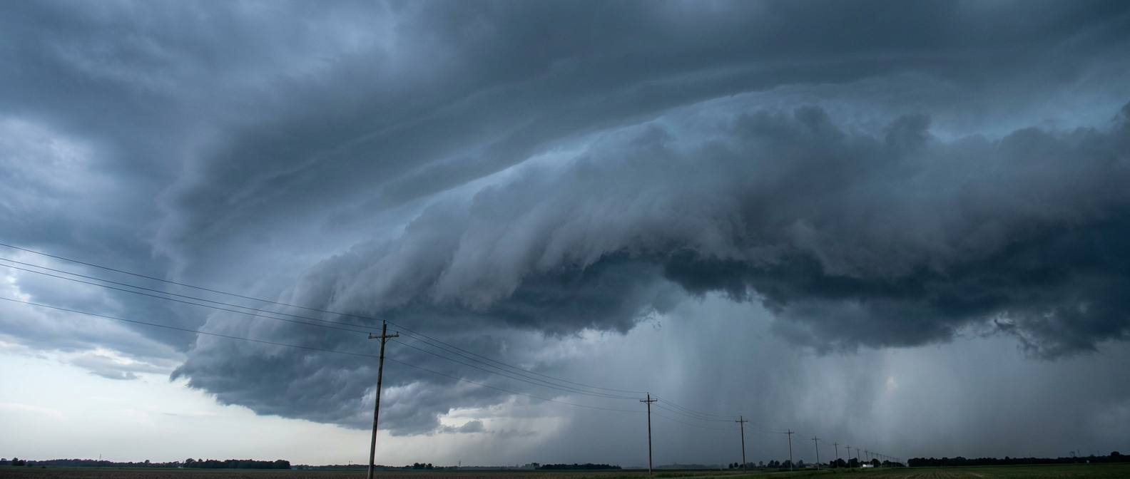
Keeping the lights on is critical right now. The average high in Birmingham is 89 degrees this time of year. Losing your air conditioning in the thick of the Southern summer heat is no joke. It goes from an inconvenience to a health hazard pretty fast. If you live in these areas, make sure your phones are charged and you have a way to stay cool if the grid goes down.
Shifting Focus To The Northern Plains
Now, looking ahead to Tuesday, the atmosphere shifts gears. We have a Day 2 Slight Risk for the Northern Plains. Places like Bismarck and Rapid City are right in the target zone.
The main threat up there transitions from just wind to some pretty significant hail. The data outlines a 15 percent chance for severe hail. More importantly, there is a hatched area where hailstones could reach two inches in diameter. That is hen-egg size, folks. If you park outside in the Dakotas, tomorrow evening is the time to find a garage or a sturdy carport.
A Quick Peek At The Tropics
I also want to touch on the tropics real quick. We are watching a broad area of low pressure well southwest of the Baja California Peninsula. The National Hurricane Center gives it a 90 percent chance of forming into a tropical depression over the next seven days.
It is moving west and away from land, so it is not a threat to the US. But it is a great reminder that the oceans are waking up.
Whether it is the tropics or a Tuesday afternoon thunderstorm, the impacts are real. Have a plan for the dark, and respect the severe thunderstorm warnings just as much as the tornado warnings.
https://ryanhallyall.com/blog/why-alabama-is-in-the-dark-the-hidden-cost-of-summer-storms