Blog Article
Dallas Weather Trends While Southeast Faces Holiday Floods
Dallas sees a cancelled flood watch just in time for Memorial Day, but the Gulf Coast and Southeast are bracing for excessive rainfall and flash flooding.

Why Dallas is Trending, and the Southeast's Waterlogged Holiday
If you checked the internet today, you might've noticed "Dallas weather" sitting right at the top of the search trends.
People weren't looking up the forecast because a storm was coming. They were looking it up because a storm was leaving. The National Weather Service officially cancelled the flood watch for the Dallas-Fort Worth area this morning. That means millions of folks are currently uncovering their grills, wiping down the patio furniture, and salvaging their Memorial Day weekend.
But if you live further east, you're probably reading this from your living room.
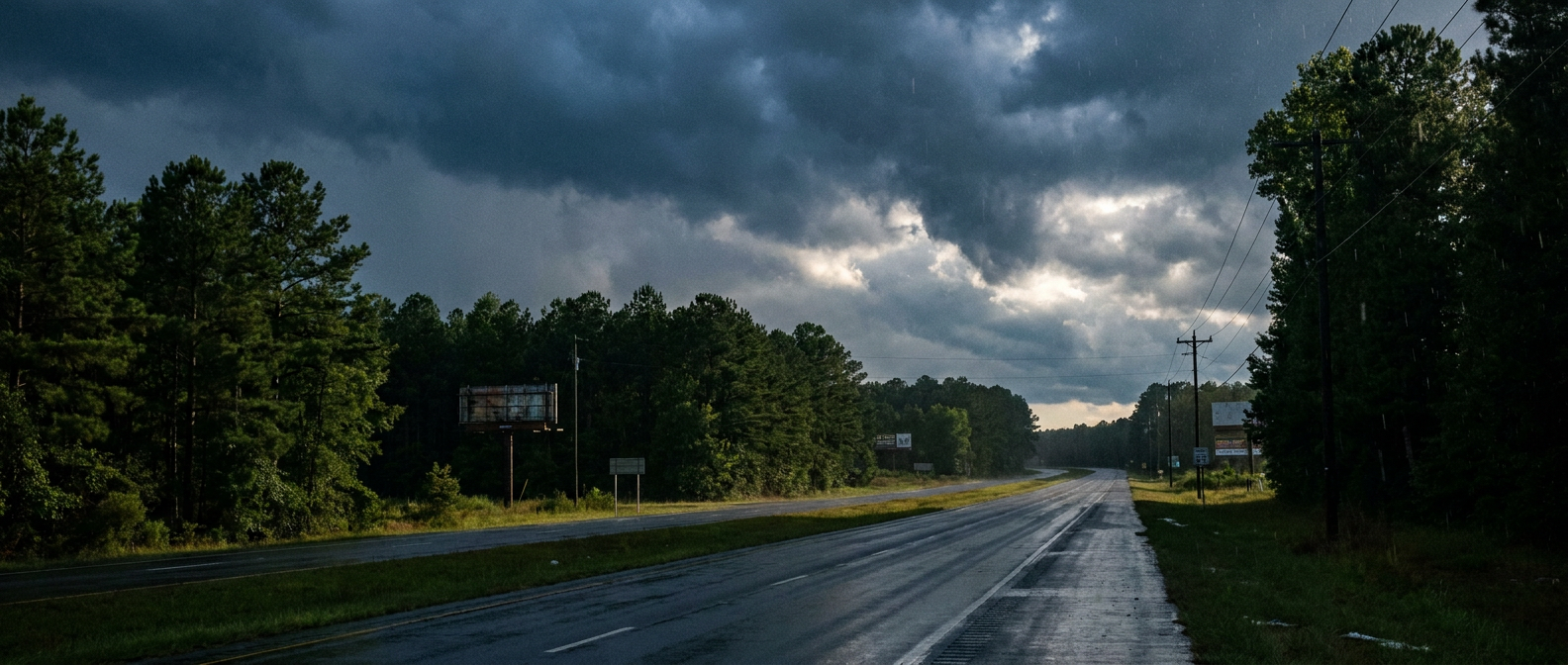
The Southeast Sponge
While the Midwest enjoys clear skies and Texas gets a lucky break, the Deep South is dealing with a waterlogged holiday. We've got a Slight Risk for excessive rainfall stretching from the Central Gulf Coast right up into the Southern Appalachians and North Georgia for Monday.

Here's the issue. The ground across the South is acting like a sponge that simply can't hold another drop. Just yesterday, parts of Northeast Louisiana picked up four to eight inches of rain. We saw flash flooding strand cars and fill up ditches from Texas all the way to Ohio.
When the soil is that saturated, new rain doesn't soak in. It just runs off. And we have plenty of new rain on the way.
The Moisture Plume
A steady stream of tropical moisture is pumping right into southern Alabama, southern Georgia, and the Florida Panhandle. This isn't your typical pop-up summer thunderstorm routine. We're looking at training convection. That's a fancy meteorological term for storms forming and moving over the exact same areas, much like train cars on a track.
Normal high temperatures for late May in places like Atlanta and Birmingham usually sit right around the low 80s. But with this thick cloud cover and constant rain, things are just going to feel damp and heavy.
If you're trying to travel along the I-75 corridor or heading home from the Florida beaches tomorrow, expect some serious slowdowns. The rain will be heavy, and visibility will drop fast.
The Texas Return
Dallas gets to enjoy the dry air for now. But the weather pattern is going to keep moving. By Tuesday, a new upper-level trough will swing out of New Mexico.
That brings the active weather right back to the Lone Star State. We have a Slight Risk for severe thunderstorms in Southwest Texas for Tuesday afternoon and evening. Places like Midland and Odessa will need to watch out for large hail and severe wind gusts. We also see the excessive rainfall threat returning to South Central Texas by midweek.
Enjoy the quiet evening if you have it. If you're stuck under the rain in the Southeast, it might be a good night to cook those burgers on the stove.
https://ryanhallyall.com/blog/why-dallas-is-trending-and-the-southeasts-waterlogged-holiday