Blog Article
Midwest Severe Weather Reloads as Texas Faces Fire Risk
Following a viral severe weather outbreak in the Midwest, a new system brings critical fire weather to Texas festivals and an Enhanced Risk to the Plains.
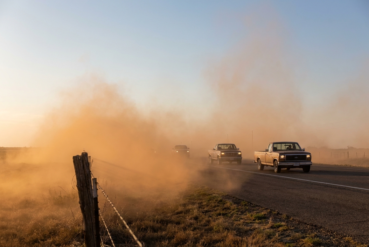
Why Everyone is Searching for the Radar, and What the Atmosphere is Brewing Next
Get this, y'all. If you logged online today, you probably saw "KCCI radar" trending right alongside the stock market. Yesterday's storms in Iowa and Wisconsin were the kind of event that stops people in their tracks. When baseball-sized hail is falling and PDS tornado warnings are flying, everyone suddenly becomes a meteorologist. The videos coming out of the Midwest are wild, and they are a stark reminder of what spring in the Plains and the Midwest can do.
Here is the thing. The atmosphere does not care that we are tired. It is already reloading, and it is going to alter a whole lot of outdoor plans over the next few days.
The Wind and Fire Threat in Texas
Down in Texas, festival season is hitting high gear. The Main St Fort Worth Arts Festival kicks off tomorrow, and the Scarborough Renaissance Festival is running down in Waxahachie. If you are setting up a vendor tent or just planning to walk around outside, you need to tie everything down.
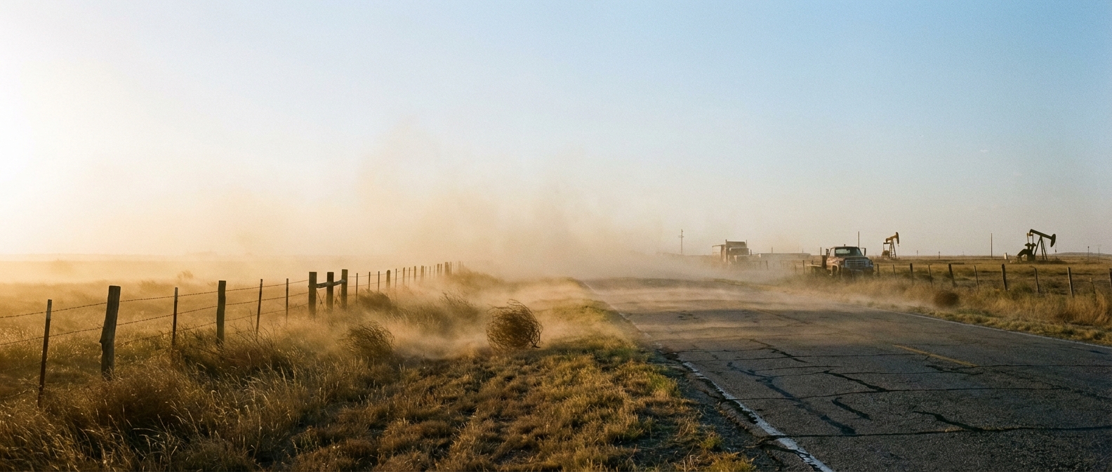
We are looking at sustained southwesterly winds of 15 to 25 mph across the Southern High Plains, with gusts hitting 30 mph. Combine that wind with humidity dropping into the single digits, and the Storm Prediction Center has highlighted a Critical Fire Weather risk for Thursday across eastern Colorado down into the southern High Plains. It is going to be dry, dusty, and incredibly breezy.
The Severe Threat Shifts Northeast
While the Plains are drying out, the severe threat is moving east. For Thursday, the target shifts to Upstate New York and southern Vermont. A fast-moving shortwave trough is bringing a Slight Risk for severe storms up there. We are talking about the potential for damaging wind gusts and hail right around the time folks are driving home from work. If you live near Rochester or Syracuse, keep an eye on the sky tomorrow afternoon.
Friday's Major Reload
Then we look at Friday. The setup reloads in a big way across the central part of the country. The Storm Prediction Center already has an Enhanced Risk circled from Oklahoma right up into Iowa and Illinois.
If you live in Oklahoma City, Kansas City, or Tulsa, Friday is your day to pay attention. A cold front is going to clash with a warm front pushing up into Wisconsin. To give you some context, the normal high in Dallas for mid-April is 77 degrees. We are going to see temperatures push well past that ahead of the dryline, creating a massive amount of instability.
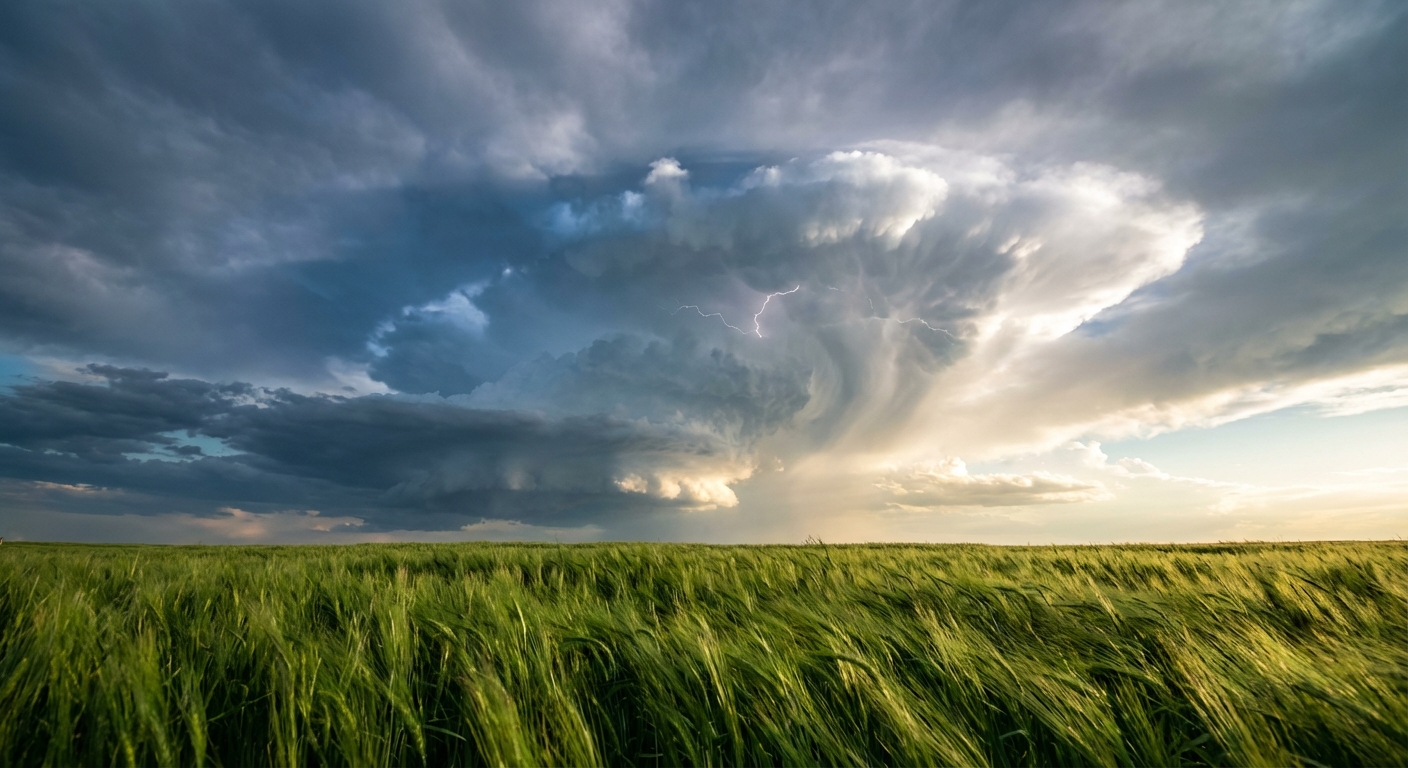
That clash of airmasses means we could see a few tornadoes, very large hail, and more damaging winds on Friday. The data has been consistently showing this cold front pushing further east and south, which puts a huge chunk of real estate in the crosshairs.
The weather is going to dictate the schedule for a lot of folks this weekend. From the fire danger and wind in Texas to the severe storms reloading in the Midwest, the atmosphere is putting on a highly visible show. Keep your phones charged and know exactly where you need to go if a warning is issued for your town.