Blog Article
Severe Storms Threaten Tonight's MLB Games in Chicago, Detroit
An Enhanced Risk of severe storms with 75 mph gust potential sits over Chicago and Detroit tonight, right where MLB games are underway. Here's what to expect.
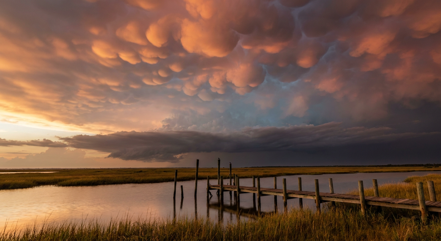
Why Half of Tonight's Ballgames Might Get a Weather Delay
Alright folks, if you've got a ballgame on in the background tonight, keep one eye on the sky. The Storm Prediction Center has an Enhanced Risk of severe thunderstorms lit up over Chicago, Milwaukee, Fort Wayne, Rockford, and Indianapolis right now, and that zone sits almost directly on top of tonight's MLB slate. Yankees at White Sox. Orioles at Tigers. Cubs at Cardinals. This isn't a rainout forecast. It's a wind and hail forecast, and it's a strong one.
The Setup Tonight
Here's what's cooking. The same warm, humid air mass that's been baking the Midwest all month is sitting under a disturbance strong enough to tap MUCAPE values of 4,000 to 5,000 joules per kilogram over southern Wisconsin. That's a lot of fuel. Combine that with decent wind shear aloft and you get a classic setup for a Mesoscale Convective System, basically a big, organized cluster of storms that can hold together for hours and produce widespread damaging wind.
The SPC has a 30 percent chance of numerous damaging wind reports across parts of the Enhanced zone, and there's a hatched area inside that where gusts could reach 75 mph or more. That is not a garden variety pop-up storm. That's the kind of wind that snaps tree limbs and knocks out power, which is exactly what happened last night when a similar system rolled through western Kentucky and southern Illinois. Grain bins got torn up in Morganfield. Trees came down across Union, Webster, and McLean counties. Calvert City reported porch damage. That system is the reason we're watching this pattern closely tonight.
What This Means For Your Ballgame
Here's the rundown of who's playing where the risk is highest tonight:
- Chicago (Yankees at White Sox): Sitting inside the Enhanced Risk zone. Damaging wind and large hail are the main concerns.
- Detroit (Orioles at Tigers): Slight Risk, but still in line for gusty storms as the complex tracks east.
- Cincinnati (Guardians at Reds): Slight Risk, watch the radar before first pitch.
- St. Louis (Cubs at Cardinals): Sits closer to the Marginal zone, lower odds but not zero.
- Pittsburgh (Diamondbacks at Pirates) and Washington (Blue Jays at Nationals): Marginal Risk tonight, generally lower-end concern.
Airports in that same corridor, including ORD and DTW, are already flagged for possible ground stops if the squall line organizes the way models suggest. If you've got a flight through Chicago or Detroit tonight, build in some slack.
Tomorrow, The Threat Moves East
This pattern doesn't sit still. By Tuesday, the severe threat shifts into the southern Mid-Atlantic and Carolinas, with a Slight Risk stretching from Philadelphia and DC down through Charlotte and Raleigh. There's even a conditional tornado threat developing from southeast Virginia into eastern North Carolina as shear profiles get more favorable for rotating storms.
But the bigger story for Tuesday is water, not wind. WPC has posted a Moderate Risk of excessive rainfall for the Tri-State area, New Jersey, New York, and Connecticut, with 2 to 4 inches possible as an unusually strong upper-level low closes off over the region. That's more typical of a fall system than a late July one. If you're catching the Braves at Mets in Queens or the Blue Jays at Nationals in DC tomorrow night, keep an eye on the forecast. Flash flooding, not just a rain delay, is the real concern in the NYC metro.
The Payoff: Clearer Skies For The Fair And The Fest
Here's the good news. Behind this system, a fresh dome of Canadian high pressure scours out the humidity across the Great Lakes by Wednesday, and that corridor from the Pacific Northwest into the Great Lakes actually reaches the top of our nice weather tier that day. That's good timing for Columbus, where the Ohio State Fair opens Wednesday, and it sets up a decent stretch heading into Lollapalooza Chicago on July 30th, though the Midwest and East trend back toward rising rain chances by the extended range as this active pattern keeps cycling through.
The Takeaway
July has been a busy month for wind damage across the Midwest and Ohio Valley, and tonight just adds another chapter. If you're headed to a ballgame, a fair, or the airport anywhere from Chicago to DC over the next 48 hours, don't just check the score. Check the sky first.
https://ryanhallyall.com/blog/why-half-of-tonights-ballgames-might-get-a-weather-delay