Blog Article
O'Hare Delays, State Fairs, NFL Tie to Midwest Flood Risk
The same storm system behind trending O'Hare flight cancellations is soaking state fairs and NFL preseason cities. Here's how it all connects.
Why O'Hare, the State Fairs, and NFL Preseason Are All Watching the Same Storm
Alright folks, get this. "U.S. airport flight cancellations" is trending tonight, and the headline driving it is simple: thunderstorms grounded flights at O'Hare. That's not some random bad-luck Thursday. That's the same weather system that turned central Indiana into a disaster zone yesterday, and it hasn't packed up and left.
The Storm That Won't Leave the Midwest
You remember yesterday. Madison, Henry, Fayette, and Wayne counties in Indiana got hit with Flash Flood Emergencies. Near Muncie, gauges measured 13.7 inches of rain. Near Winamac, it was 11 inches in 36 hours. That was one Mesoscale Convective System after another, training over the same saturated ground like cars on a slow freight line.
Well, the pattern hasn't broken. The Weather Prediction Center has a Moderate Risk of excessive rainfall in place tonight through Friday morning, centered right over central to southern Indiana, stretching into Iowa and Kentucky. That risk carries right into Day 2 as well, with a new Moderate Risk area popping up across the Iowa/northwest Illinois corn belt, an area that's already seen recent heavy rain. On top of that, the Storm Prediction Center has a Slight Risk of severe storms today covering Indianapolis, Cedar Rapids, Springfield, Peoria, and Davenport, with damaging wind gusts the main concern.
Same ingredients as this week's whole pattern: a nearly stationary front, deep tropical moisture (precipitable water values pushing 2.25 inches), and storm after storm rolling over ground that already can't hold any more water.
Fair Weather? Not So Fast
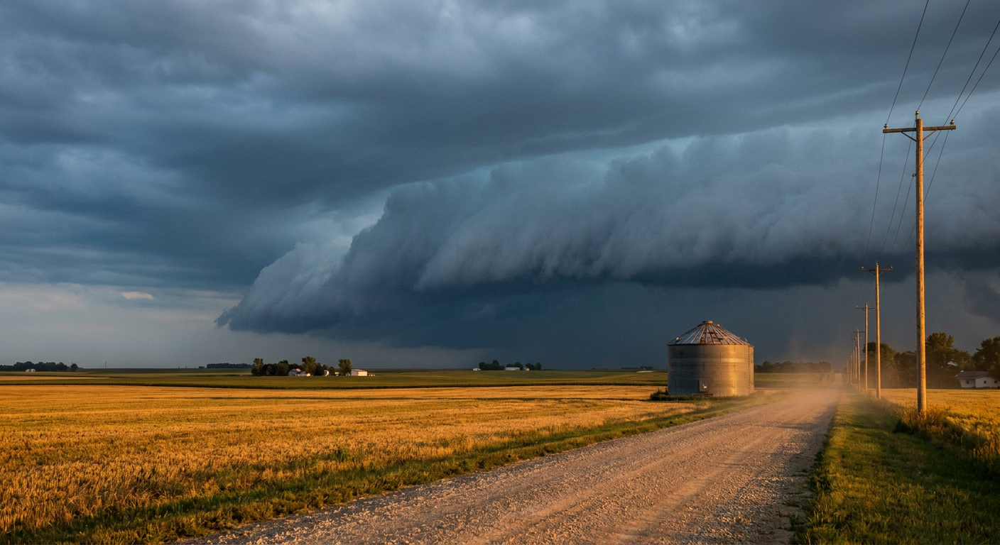
Here's where it gets personal for a lot of folks. The Illinois State Fair is happening in Springfield today. The Iowa State Fair is happening in Des Moines today. Both of those cities sit inside or right next to today's severe weather and heavy rain zones. If you've got a trip planned to either fairground this evening, keep an eye on the sky and have a plan for where you'll go if a warning gets issued. Corn dogs and grandstand concerts are a lot less fun under a shelf cloud.
Preseason Football Walks Right Into It
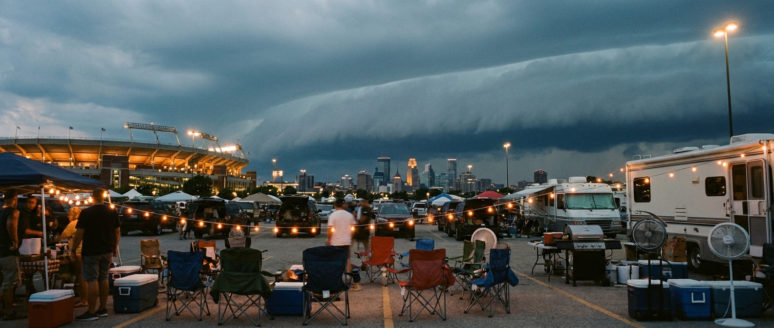
NFL preseason kicked back off this week, and tonight the Lions are in Cincinnati to play the Bengals. Local forecasters at the Wilmington, Ohio office have specifically flagged the Cincinnati and Dayton area as sitting at the overlap of today's severe risk and an excessive rainfall risk, tied to the same ongoing convection that's been rolling through the Ohio Valley. If you're headed downtown for tailgating, this is the kind of setup where a strong pulse of rain and gusty wind can show up with not a lot of warning.
Look a little further out and the weekend slate walks into the same pattern. Saturday's Browns-Bears game in Chicago and the Rams-Chiefs game in Kansas City both fall inside the Day 2 Marginal Risk zone the SPC has drawn for Friday into Saturday, which stretches from the central High Plains through the Midwest, Ohio Valley, and Mid-Atlantic.
The Science in Plain English
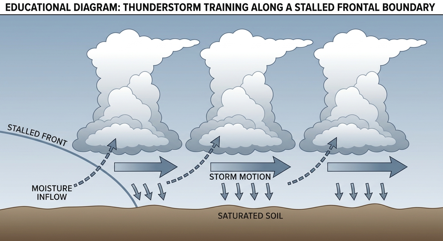
Why does this keep happening in the same places? Picture a slow-moving front just sitting there like a stalled semi truck on the highway. Storm cells keep forming on the upstream side and riding the same track downstream, like cars merging one after another into the same lane. Meteorologists call it "training," because the storms line up and pass over one spot the same way train cars pass a crossing. Each cell dumps its rain, moves off, and the next one takes its place. When the ground is already full from the last few days, that water has nowhere to go but into streets, basements, and low-lying fields.
What It Means for You
If you're flying anywhere near Chicago, Indianapolis, Des Moines, or Cincinnati in the next day or two, check your flight status before you leave the house. If you're at a state fair or a preseason game in that same swath, bring a rain layer and know where the nearest solid shelter is. And if you live anywhere in central Indiana or eastern Iowa, this isn't a one-and-done system. The ground is still soaked from yesterday, and Moderate Risk of excessive rainfall means it wouldn't take much more to cause new problems on top of the old ones.
Meanwhile, Out in the Atlantic
Quick tropical note since it's still hurricane season: Post-Tropical Cyclone Cristobal has degenerated into a weak remnant low well out to sea near the Azores, and the National Hurricane Center issued its final advisory on it today. There are also a handful of tropical waves and invests being watched across the Atlantic, but none of them pose an immediate US threat right now.
So the next time your phone buzzes about O'Hare delays, or you're standing in line for a fair funnel cake watching clouds build, remember it's all connected. One stubborn front, doing the same job it's done all week: training storm after storm over ground that's already had enough.