Blog Article
Halloween Aurora Chances and This Weekend's Forecast
A G1 geomagnetic storm lines up with Halloween night, plus what the pattern means for the Breeders' Cup, tonight's NFL game, and Florida's rain risk.
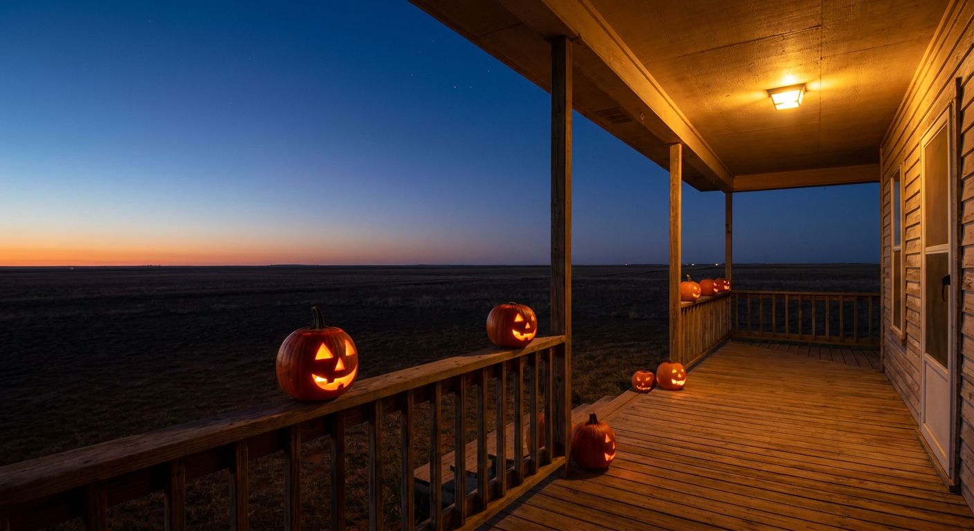
Why the Sky Might Try to Steal Halloween's Spotlight This Year
Alright folks, here's the thing. Halloween is five days out, and for once the sky itself might show up to the party. NOAA's Space Weather Prediction Center has a minor geomagnetic storm penciled in for October 31st, and that's the kind of forecast nerd detail that usually gets buried. Not tonight. Let's talk about it, and then let's check in on everything else happening this week, from a big NFC East rivalry game to the Breeders' Cup gearing up in Kentucky.
The Northern Lights Might Crash Halloween
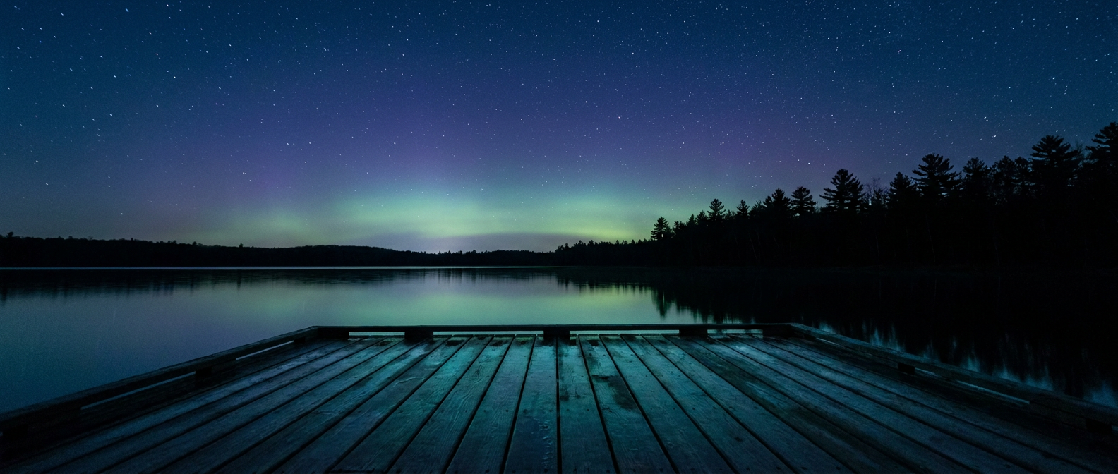
Get this. SWPC's 27-day outlook has Kp climbing to 5 on October 31st, which rates as a G1, or "minor," geomagnetic storm. That's the gentlest rung on the storm ladder, but it's still enough to nudge the aurora oval down into the far northern tier. We're talking places that already get a decent shot most years: Maine, Michigan's Upper Peninsula, the Dakotas, maybe northern Minnesota if skies stay clear.
I want to be straight with you on expectations here. This isn't a continental light show. A G1 is not going to paint the sky green over Dallas or Jackson or Tampa. If you live way up north and you've got clear skies Halloween night, step outside after trick-or-treating wraps up and look low on the northern horizon. You might get lucky. Everybody else, you're sticking with the regular stars.
The driver behind this is a weak solar wind disturbance, nothing dramatic. Solar radio flux has been steady in the 80 to 88 range, and SWPC's short-range discussion still has the geomagnetic field running mostly quiet through this week before that bump hits. Think of it as background noise slowly turning up the volume, not a sudden crash of cymbals.
The Weekend Forecast for Horse Country, and Everybody Else
Now, while the aurora watchers are looking north, the sports world's looking at Lexington, Kentucky. The Breeders' Cup World Championships kick off October 30th, and if you've got money on a horse or just love a good hat, you're probably already checking the forecast.
Here's where it stands right now. A ridge of high pressure is set to build over the central and eastern US through midweek, and that's good news early in race week: dry air, mild temperatures, a NICE-tier airmass that starts over the Great Lakes and Ohio Valley and slides east toward the Mid-Atlantic and Northeast as the days go on. Kentucky sits right in that transition zone.
But here's the catch. That ridge doesn't sit still. By Friday and Saturday, an amplifying trough out west starts pushing cloud cover and precipitation chances back across nearly the whole outlook area. Nobody reaches that NICE tier by the weekend. We're looking at FAIR to DECENT conditions as the best case by raceday itself, meaning more clouds and a better chance of a passing shower than the midweek stretch offers. The same pattern shift is why the Days 4-7 winter outlook has mountain snow stacking up in the Washington and Oregon Cascades and spreading into the northern Rockies and Wyoming. When that western trough digs in, it changes the whole national picture, not just the mountains.
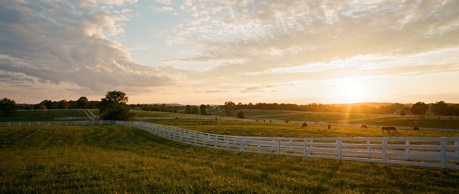
So if you're headed to Keeneland, don't plan your outfit around a flawless sky. Plan for mild and mostly dry early in the week, trending toward more clouds as the weekend closes in.
Tonight's Good News: Clear Skies for Football and a Little Live Music
Let's not bury the lede on tonight. Eagles and Cowboys kick off in Philadelphia, and if you're tailgating or just watching from the couch with a side of anxiety about your fantasy lineup, the atmosphere's cooperating. The national aviation outlook has nearly every major Northeast and Mid-Atlantic hub running IDEAL tonight, dry and stable, no weather story to speak of. The broader air mass sitting over the Carolinas, Virginia, and the southern Appalachians is rated BEAUTIFUL, the top tier the data allows for right now, and that calm pattern is bleeding into the Mid-Atlantic as well.
Down in Austin, folks lining up outside the Emei show tonight don't have anything to worry about either. There's no rainfall risk flagged for central Texas in tonight's outlook, and the broader Southern Plains pattern stays quiet into tomorrow, when a BEAUTIFUL-tier airmass actually builds into western Texas. Good night to be standing in line for a concert, in other words.
Meanwhile, Keep an Eye on the Tropics and Florida's Soggy Streak
A couple of things worth tracking without losing sleep over. Tropical Storm Vance is sitting a few hundred miles off the southwestern coast of Mexico with 63 mph winds, jogging slowly west. There's no landfall forecast and no US impact expected, it's basically a Pacific curiosity at this point. Out in the Central Pacific, Tropical Depression Olana is fading fast and should degenerate into a remnant low soon.
Closer to home, southeast Florida remains under a Marginal excessive rainfall risk through midweek, the same general soggy pattern that's been lingering since the King Tide flooding we saw hit Charleston Harbor and coastal Florida earlier this week. Nothing severe, but if you're in the Keys or along the I-95 corridor, keep an umbrella in the car and watch for ponding on the usual low spots.
The Takeaway
Whatever you've got planned this week, a football rivalry tonight, a concert in Austin, a trip to the track in Lexington, or just handing out candy on Halloween, the sky's not throwing anything dramatic at you. But if you live up north and the clouds cooperate on the 31st, look up before you go to bed. That faint green glow might be the best decoration on the block, and you didn't even have to plug it in.
https://ryanhallyall.com/blog/why-the-sky-might-try-to-steal-halloweens-spotlight-this-year