Blog Article
Fall's Perfect Concert Night Hides a Fire Weather Risk
A dry fall front makes for great concert weather in Charlotte, but it's also fueling fire risk across the Southeast while Florida braces for heavy rain this weekend.
Why Tonight's Perfect Concert Weather Comes With a Fire Weather Catch
Alright, y'all. If you've got a ticket to Ed Sheeran's show in Charlotte tonight, or you're wandering the midway at the North Carolina State Fair in Raleigh, somebody up there did you a favor. The air mass moving through the Southeast right now is dry, it's breezy, and it's the kind of crisp that makes a stadium full of people in light jackets feel pretty good about life. Here's the thing though. That exact same air is a problem somewhere else. Let's talk about why.
One Air Mass, Two Very Different Stories
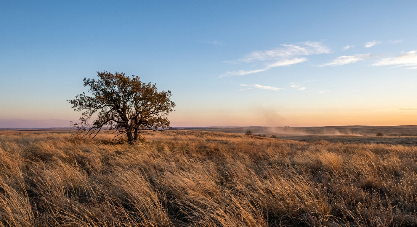
The Storm Prediction Center's fire weather desk flagged it plainly in today's discussion. A big plume of mid-level dry air has been sliding south over the lower Mississippi Valley and into the Southeast. Soundings out of Jackson, New Orleans, and Birmingham show a north-northeast wind around 30 to 35 knots just above the surface. As the sun heats the ground through the afternoon, that dry air mixes on down, relative humidity drops below 35 percent, and surface gusts climb toward 30 mph.
For a concertgoer in Charlotte, that reads as a comfortable, low-humidity evening with a little bit of a breeze. Charlotte's average October high sits around 73 with overnight lows near 51, and a dry northerly flow like this usually keeps you right in that seasonal wheelhouse, maybe a touch cooler once the sun goes down and that wind picks up. Layer up a little for the show, but it's not a rough night to be outside.
For land managers and fire crews across the Gulf South, that same dry wind is the ingredient list for a bad fire day. Low humidity plus sustained wind plus whatever fuel is sitting out there cured from a dry stretch equals exactly the kind of pattern that turns a stray spark into a problem fast. It's not a coincidence that the nicest-feeling air of the week and the most fire-prone air of the week are often the same air. Dry, windy, and clear skies make for great outdoor plans and lousy fire behavior in the same breath.
Meanwhile, Florida's Weekend Looks Soggier
Drop south into Florida and the story flips completely. The Weather Prediction Center has a Slight Risk of excessive rainfall up along the Gold Coast, from the Space Coast down through the southeast Florida metro corridor, running through Sunday morning. A very moist air mass, we're talking precipitable water values about two standard deviations above normal for this time of year, is sitting under light upper-level winds. That's a setup for repeating heavy thunderstorms with rain rates of 2 to 3 inches an hour possible this afternoon and evening, and the approaching cold front just adds more fuel overnight.
If you're headed to the 13th Annual Arcadia Fall Rodeo out in DeSoto County this weekend, you're a bit removed from the heaviest action, which is more focused on the coastal corridor from Melbourne down through Miami and Fort Lauderdale. Still, ground that's already saturated from a wet October combined with a statewide moisture surge means don't be shocked if the arena grounds are a little soft and a pop-up shower rolls through. Keep a rain jacket in the truck.
A Quick Check on Hurricane Trudy
While all that plays out stateside, Hurricane Trudy has been churning in the Eastern Pacific off the coast of Mexico, the third significant hurricane to spin up down there just this month after Simon and Rachel. Hurricane Hunter aircraft found Trudy a little stronger than expected Saturday afternoon, now a Category 2 with 100 mph winds and a well-defined 38 nautical mile wide eye. Tropical Storm Warnings and a Hurricane Watch are up from San Blas to Lázaro Cárdenas, with the highest odds of tropical storm force winds, up to 7 in 10, centered near Manzanillo.
None of this threatens the US coastline. Trudy is forecast to track northwest, pass well offshore, and weaken significantly by the time it has any brush with the Baja Peninsula late next week. But it's a good reminder that mid-October tropical activity isn't unusual, and this Pacific season has been a busy one.
The Takeaway
Same week, same country, two completely different weather stories depending on where you're standing. If you're in the Carolinas tonight enjoying a concert or a fair under dry, breezy skies, that's real, and it'll feel good. Just know the folks a few states over dealing with Red Flag conditions are feeling the downside of that exact same pattern. And if your plans take you to Florida this weekend, trade the light jacket for a poncho. The weather map doesn't care what's on your calendar, but it sure does shape how your weekend goes.
https://ryanhallyall.com/blog/why-tonights-perfect-concert-weather-comes-with-a-fire-weather-catch